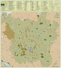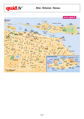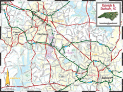
Raleigh, North Carolina City Map
468 miles away
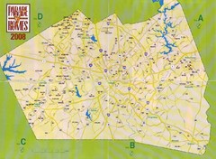
Area Codes Near Raleigh, North Carolina Map
468 miles away
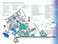
Elizabeth City State University Campus Map
468 miles away
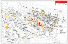
North Carolina State University at Raleigh Map
Campus Map of North Carolina State University at Raleigh. All areas shown.
468 miles away
Blue Ridge Parkway Official Map
Official NPS map of the Blue Ridge Parkway. The Parkway meanders 469 miles through Virginia and...
468 miles away
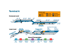
Raleigh-Durham International Airport Map
Official Map of Raleigh-Durham International Airport. Shows Terminal A.
469 miles away
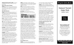
Natural Tunnel State Park Map
Detailed and informative state park map and legend.
469 miles away
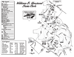
William B. Umstead State Park map
Detailed recreational map for William B. Umstead State Park
469 miles away
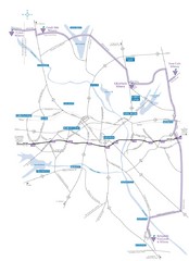
Haw River Wine Trail Map
470 miles away
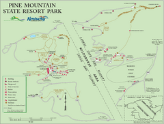
Pine Mountain State Resort Park Map
Map of trails and facilities in Pine Mountain State Resort Park .
471 miles away
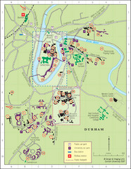
Durham Tourist Map
472 miles away
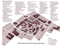
North Carolina Central University Campus Map
Campus map of North Carolina Central University (NCCU)
472 miles away
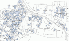
Duke University Map
473 miles away
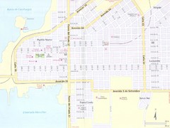
Cienfuegos City Map
473 miles away
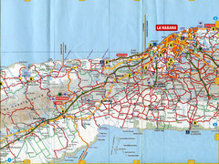
"Los Palacios - La Habana" Road Map
473 miles away
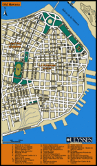
Havana Tourist Map
Tourist street map of Havana
473 miles away
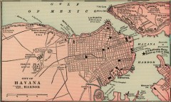
Antique map of Havana, Cuba from 1901
Map of Havana, Cuba from Cram's Modern Atlas, 1901.
473 miles away
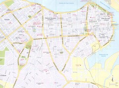
Havana City Map
473 miles away
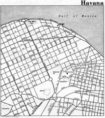
Havana City Tourist Map
473 miles away
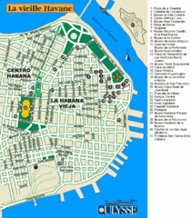
La Habana Tourist Map
473 miles away
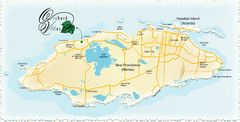
Nassau Island Map
474 miles away
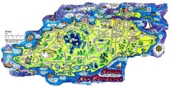
Nassau New Providence Island Map
Tourist map of New Providence Island, Bahamas
474 miles away
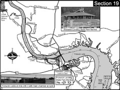
Pickwick Lake Tennessee River Map
For boating navigational information and river road travel along the Tennessee River. This map...
474 miles away
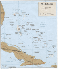
Bahamas Tourist Country Map
474 miles away
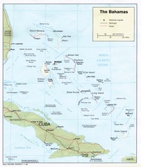
The Bahamas Tourist Map
474 miles away
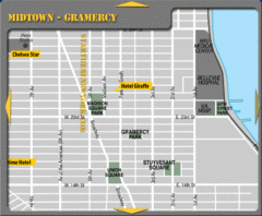
Gramercy Hotel Map
475 miles away
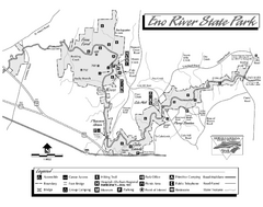
Eno River State Park map
Detailed recreation map for Eno River State Park in North Carolina
475 miles away
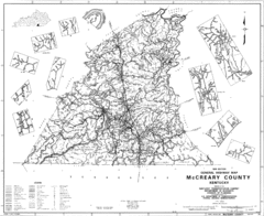
Mccreary County General Highway Map
Map of McCreary County with road, waterways and towns identified.
476 miles away
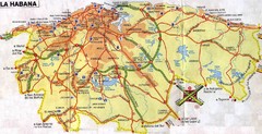
Havana Cuba Tourist Map
Map of Metro Havana, Cuba showing roads, cities, tourist spots, gas stations and hotels.
476 miles away
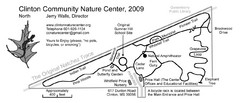
Clinton Community Nature Center Map
A relaxing walk through the Clinton Community Nature Center.
476 miles away
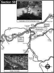
Harlan, KY-Cumberland River Headwaters Map
Section 58 of the Cumberland River Guidebook shows the beginning of the Cumberland River at the...
477 miles away
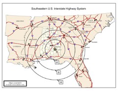
Southeastern U.S. Map
477 miles away
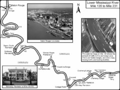
Mississippi River Mile 135 to Mile 231 Map
Historical Map from book "Mississippi River-Historical Sites and Interesting Places
478 miles away
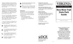
New River Trail State Park Map
Clear and detailed state park map.
479 miles away
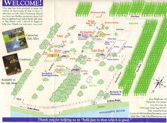
Oak Alley Plantation Map
Visitor's map of Oak Alley Plantation in Vacherie, Louisiana. Scan from old brochure.
480 miles away
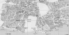
Bahamas Guide Map
480 miles away
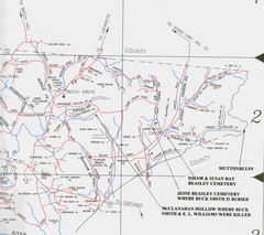
Trousdale County Muttonbluff Map
Pictured is a part of a map of Trousdale County containing the extreme northeast section. The...
481 miles away
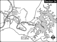
Celina, TN Dale Hollow Lake-Cumberland River Map
Celina Tennessee is the location for the head of navigation for the Cumberland River at the fork of...
481 miles away

