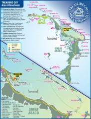
Abaco Bahamas tourist map
Tourist maps of Great and Little Abaco Islands in the Bahamas of the Caribbean. Shows diving sites...
410 miles away
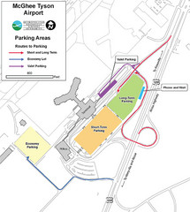
McGhee Tyson Airport Map
410 miles away
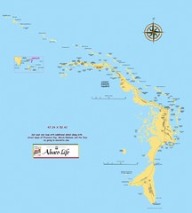
Abaco Islands Map
General map of Abaco islands of the Bahamas
410 miles away
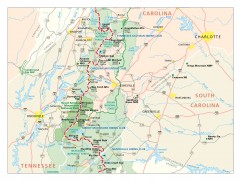
Appalachian Trail in North Carolina Map
Appalachian Trail in North Carolina. Shows major summits, National Forests, and hiking clubs.
411 miles away
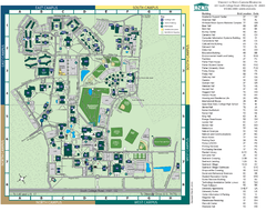
UNC Wilmington Campus Map
411 miles away
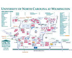
University of North Carolina at Wilmington Map
Campus map
411 miles away
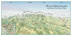
Black Mountains Panorama Map
This map portrays a sweeping vista of the Black Mountains and South Toe River Valley - extending...
412 miles away
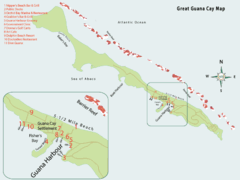
Great Guana cay Map
413 miles away
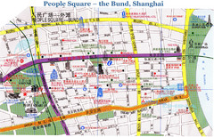
Bund Shanghai Tourist Map
414 miles away
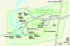
Monocacy National Battlefield Official Map
Official NPS map of Moores Creek National Battlefield in North Carolina. Operating Hours &...
414 miles away
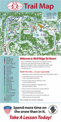
Wolf Laurel Ski Resort Ski Trail Map
Trail map from Wolf Laurel Ski Resort.
414 miles away
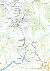
Salem Backroads Century Course Map
Route map for Salem Backroads Century bike race.
415 miles away
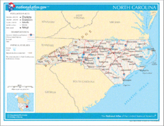
North Carolina Road Map
417 miles away
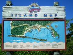
Castaway Cay Island Tourist Map
Tourist map of Disney's private Castaway Cay Island in the Bahamas. From photo of sign.
417 miles away
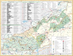
Pisgah National Forest and Nantahala National...
Pisgah National Forest and Nantahala National Forest recreation map. Contains list of all...
417 miles away
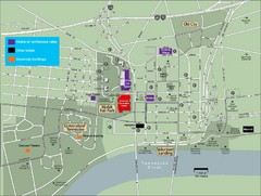
University of Tennessee Map
Map with locations of downtown Tennessee.
419 miles away

University of Tennessee Map
419 miles away
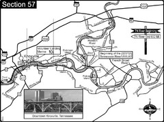
Knoxville, TN Tennessee River/Holston River...
This is the source of the Tennessee River at the confluence of the Holston River and French Broad...
419 miles away
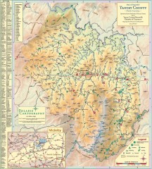
Yancey County Chamber of Commerce Map
Map of Yancey County, North Carolina. Shows all public roads, communities, hiking trails and picnic...
419 miles away
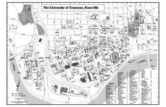
University of Tennessee Map
Campus Map of the University of Tennessee. All areas shown.
420 miles away
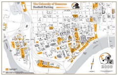
University of Tennessee Tourist Map
420 miles away
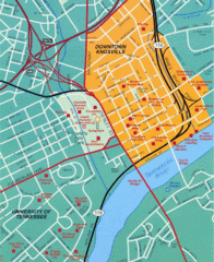
Knoxville, TN Tourist Map
420 miles away
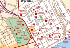
Knoxville, TN Tourist Map
420 miles away
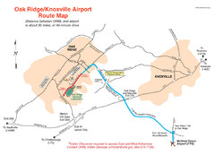
Knoxville and Oakridge Airports Map
420 miles away

Knoxville, Tennessee City Map
420 miles away
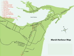
Marsh Harbour Map
421 miles away
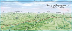
Panoramic View of Roan to Grandfather Map
This panorama takes in the vista from Roan to Grandfather mountain - overlooking the upper Linville...
421 miles away
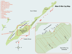
Man o War cay Map
421 miles away
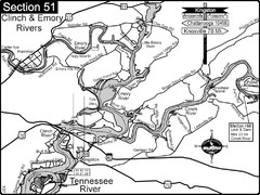
Kingston, TN Tennessee River/Clinch River/Emory...
Shows a bend on the Tennessee River at the confluence of the Clinch & Emory Rivers. For boat...
421 miles away
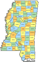
Mississippi Counties Map
422 miles away
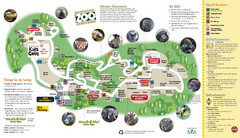
Knoxville Zoo Map
422 miles away
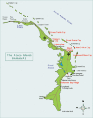
Abaco Islands Map
423 miles away
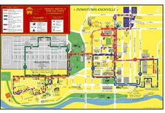
Knoxville, TN Tourist Map
423 miles away
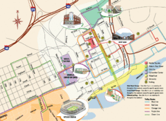
Knoxville, TN Tourist Map
423 miles away
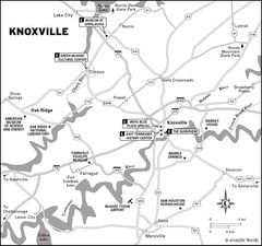
Knoxville, TN Tourist Map
423 miles away
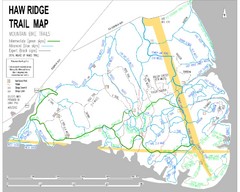
Haw Ridge Trail Map
425 miles away
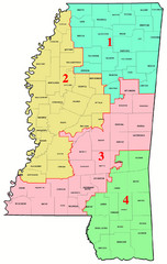
Mississippi Congressional Map
426 miles away
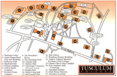
Tusculum College Campus Map
Campus map of Tusculum College in
429 miles away
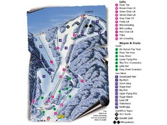
Sugar Mountain Resort Ski Trail Map
Trail map from Sugar Mountain Resort.
429 miles away
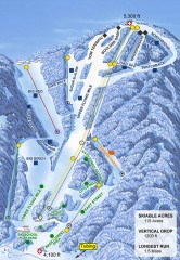
Sugar Mountain Ski Trail Map
Official ski trail map of Sugar Mountain ski area
429 miles away

