
The Reserve Shaded Relief Map
This map is a shaded relief property map of The Reserve in North Carolina with survey boundaries...
365 miles away
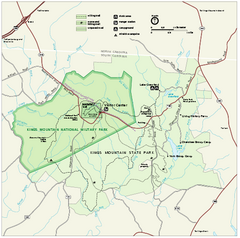
Kings Mountain National Military Park Official Map
Official NPS map of Kings Mountain National Military Park in South Carolina. Open Daily 9:00 a.m...
366 miles away
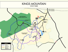
Kings Mountain State Park Map
Clearly marked state park map.
366 miles away
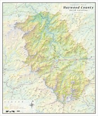
Haywood County Topographical Map
This topographic wall map of Haywood County emphasizes the rugged mountain terrain and natural...
367 miles away

Bathymetric Chart of Mississippi Gulfshore...
367 miles away
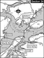
Guntersville, AL Tennessee River/Lake...
For boating navigational information and river road travel along the Tennessee River. This section...
367 miles away
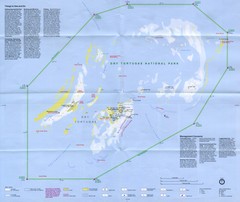
Dry Tortugas National Park Map
Park map of Dry Tortugas National Park, Florida
369 miles away
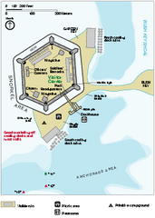
Garden Key Dry Tortugas National Park Map
Detail Map of Garden Key, Dry Tortugas National Park in Florida. The park is located almost 70...
370 miles away
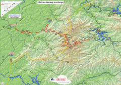
Cherohala Map
Map of Cherohala Skyway. Includes Visitor Information, roads, camping areas, and trails.
370 miles away
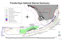
Florida Keys National Marine Sanctuary Map
Map of Florida Keys National Marine Sanctuary
371 miles away
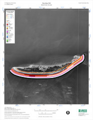
Ship Island Map
371 miles away

Guntersville Lake Map
371 miles away
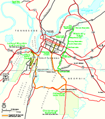
Chickamauga & Chattanooga National Military...
Official NPS map of Chickamauga & Chattanooga National Military Park in Georgia. All units of...
372 miles away
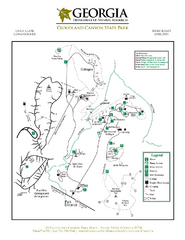
Cloudland Canyon State Park Map
Map of park with detail of trails and recreation zones
372 miles away
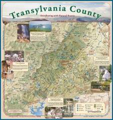
Transylvania County Tourism Development Map
Transylvania County tourist map, showing all points of interest including hiking and picnic areas.
373 miles away

Florida Keys Map
Tourist map of the Florida Keys. Shows points of interest and dive sites.
374 miles away
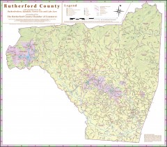
Tourist map of Rutherford County
Map of Rutherford County with detail panels for Rutherfordton, Spindale, Forest City, and Lake Lure.
376 miles away
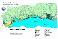
Mississippi Gulf Ecological Management Sites Map
GEMS area map
376 miles away
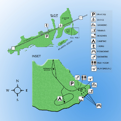
Curry Hammock State Park Map
Map of park with detail of various recreation zones
378 miles away
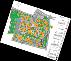
Queen's College Map
378 miles away
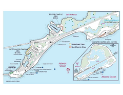
Bahia Honda State Park Map
Map of park with detail of recreation zones
378 miles away
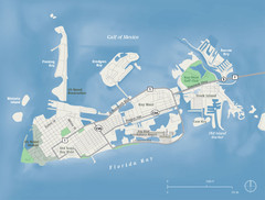
Key West Map
379 miles away
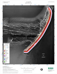
Cat Island Map
Cat Island NW Coastal Classification
379 miles away
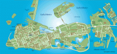
Key West tourist map
Key West tourist map, showing points of interest.
379 miles away
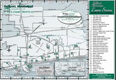
Gulfport Recreational Facilities Map
Shows parks and other recreational points of interest in Gulfport, Mississippi.
379 miles away
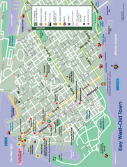
Old Town Key West, Florida Map
Tourist map of Old Town Key West, Florida. Beaches, boat ramps, and other points of interest are...
379 miles away
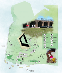
Fort Zachary Taylor State Park Map
Map of park with detail of trails and recreation zones
380 miles away

Charlotte, North Carolina City Map
381 miles away
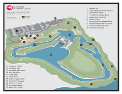
US National Whitewater Center Map
Facility map of the US National Whitewater Center in Charlotte, North Carolina
381 miles away
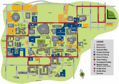
University of Tennessee Chattanooga Campus Map
Official campus map of University of Tennessee Chattanooga.
381 miles away

University of Tennessee Map
Campus map
381 miles away
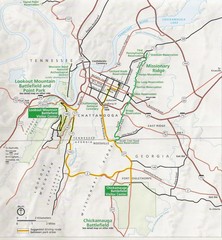
Chattanooga Guide Map
381 miles away
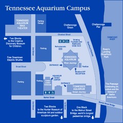
Tennessee Aquarium Campus Map
Map of Tennessee Aquarium Campus includes location of all buildings, bathrooms, parking, and...
382 miles away
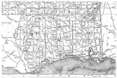
Mississippi Gulf Coast counties, 1906 Map
382 miles away
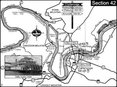
Chattanooga, TN Tennessee River Map
For boating navigational information and river road travel along the Tennessee River.
383 miles away

Waynesville and Lake Junaluska Panoramic Map
Panoramic Map taking in Waynesville, Lake Junaluska and the Richland Creek watershed in Haywood...
383 miles away

Asheville School Campus map
Map of the 300-acre campus of Asheville School, a private boarding school for grades 9-12 with...
387 miles away
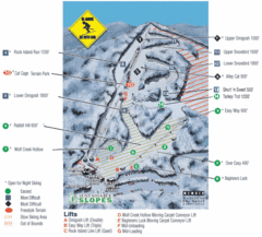
Cataloochee Ski Area Ski Trail Map
Trail map from Cataloochee Ski Area.
387 miles away
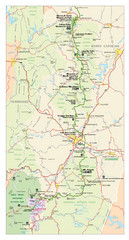
Asheville, North Carolina Parkway Map
387 miles away
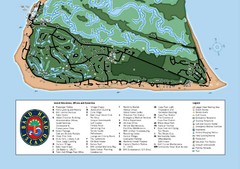
Bald Head Island Tourist Map
389 miles away

