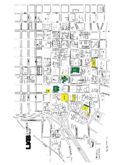
University of Alabama at Birmingham Map
University of Alabama at Birmingham Campus Map. All buildings shown.
342 miles away
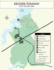
Keowee Toxaway State Park Map
Clear and detailed map of this wonderful state park.
343 miles away
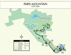
Paris Mountain State Park Map
Clearly labeled map of this beautiful state park.
344 miles away
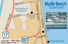
Myrtle Beach Tourist Map
344 miles away
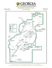
Black Rock Mountain State Park Map
Map of park with detail of trails and recreation zones
344 miles away
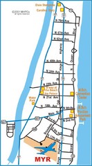
Myrtle Beach Map
344 miles away
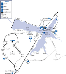
James H. Floyd State Park Map
Map of park with detail of trails and recreation zones
344 miles away
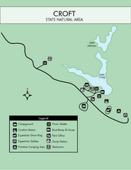
Croft State Park Map
Simple state park map.
344 miles away
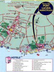
Freeport tourist map
Tourist map of Freeport on Grand Bahama Island in the Bahamas.
344 miles away

Little River Canyon Tourist Map
Little River Canyon, Alabama
344 miles away
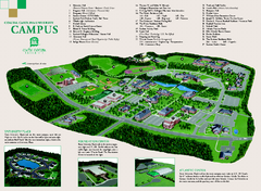
Coastal Carolina University campus map
Coastal Carolina University campus map
344 miles away
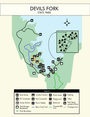
Devils Fork State Park Map
Clearly marked state park map.
345 miles away
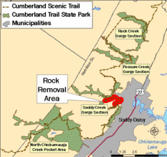
Cumberland Trail, Alabama Map
345 miles away
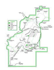
Black Rock State Park map
Detailed recreation map for Black Rock State Park in Georgia
345 miles away
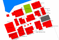
Port Lucaya Marketplace, Grand Bahama Island...
346 miles away
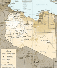
Lybia Map
Clear map and legend of this African Nation.
347 miles away
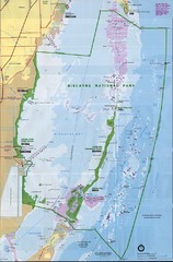
Biscayne National Park Map
349 miles away
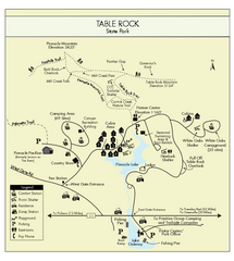
Table Rock State Park MAP
Clear and simple state park map and legend.
350 miles away
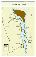
Landsford Canal State Park Map
Clear map with detailed legend marking this beautiful state park.
350 miles away
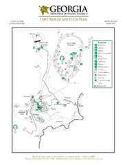
Fort Mountain State Park Map
Map of park with detail of trails and recreation zones
351 miles away
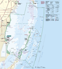
Biscayne National Park Official Map
Official NPS map of Biscayne National Park in Florida. Convoy Point, location of the parks...
352 miles away
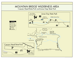
Mountain Bridge Wilderness Area Map
Map and legend marking bathrooms, picnic sites, trails and more.
355 miles away
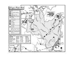
Gorges State Park map
Detailed recreation map for Gorges State Park in North Carolina
355 miles away
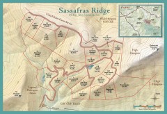
Sassafras Ridge Shaded Relief Map
This map is a shaded relief property map with survey boundaries and property roads. The map...
356 miles away
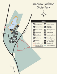
Andrew Jackson State Park Map
Clear and legible park map and legend.
356 miles away

Sassafras Ridge Panorama Map
Panoramic view from Sassafras Ridge near Cashiers, North Carolina.
356 miles away

Detailed Map of Hawkesdene House area
Detailed map of how to get to Hawkesdene House B&B Inn
356 miles away
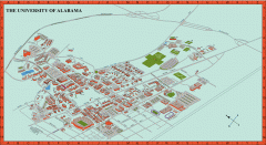
University of Alabama Map
University of Alabama Campus Map. All areas shown.
357 miles away
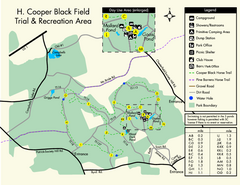
H. Cooper Black Field Map
Detailed map and legend of this state park.
358 miles away
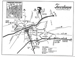
Tuscaloosa Map
359 miles away
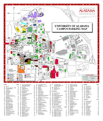
University of Alabama Map
360 miles away
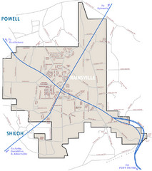
Rainsville Street Map
Chamber of Commerce Business Guide
361 miles away
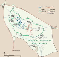
Cowpens National Battlefield Official Map
Official NPS map of Cowpens National Battlefield in South Carolina. Open 9:00 a.m. - 5:00 p.m...
361 miles away
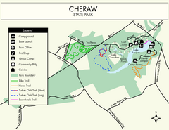
Cheraw State Park Map
Clear and descriptive state park map.
363 miles away

Map of Southern Blue Ridge Escarpment
Map of the Nature Conservancy's Southern Blue Ridge Escarpment project area showing protected...
363 miles away
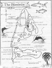
Map of the Bimini Islands in the Bahamas
Map of the Bimini Islands in the Bahamas.
363 miles away
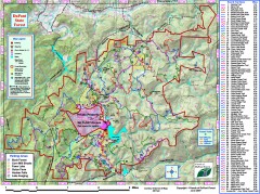
DuPont State Forest Trail map
Trail map of DuPont State Forest. Shows all trails with mileages. From dupontforest.com: "...
364 miles away

Florida Keys Map
Map of the Florida Keys includes all islands, dive sites, boat launches and important places.
364 miles away

Panoramic View of the Reserve Map
Panoramic map of the view northeast from 'Gladiola Ridge' in Brevard, North Carolina.
364 miles away
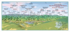
Northwest Reserve Panorama Map
Panoramic Map of the view Northwest from the Reserve in Brevard, North Carolina.
365 miles away

