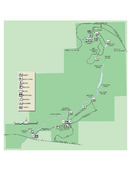
Ichetucknee Springs State Park Map
Map of park with detail of trails and recreation zones
0 miles away
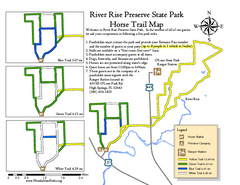
River Rise Preserve State Park Horse Trail Map
Map of horse trails throughout preserve
12 miles away
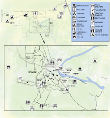
OLeno State Park Map
Map of park with detail of trails and recreation zones
12 miles away
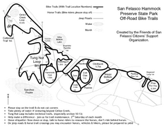
San Felasco Hammock Preserve State Park Bike...
Map of bike trails throughout preserve
25 miles away
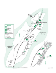
Stephen C. Foster State Park Map
Map of park with detail of trails and recreation zones
25 miles away
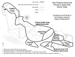
San Felasco Hammock Preserve State Park Horse...
Map of horse trails throughout preserve
25 miles away
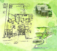
Dudley Farm Historic State Park Map
Map of park with detail of historical monuments
26 miles away
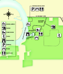
Fanning Springs State Park Map
Map of park with detail of trails and recreation zones
28 miles away
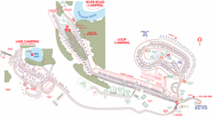
Suwanee Park Camping Map
31 miles away
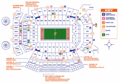
Ben Hill Griffin Stadium Map
Clear map and legend of this stadium.
34 miles away

University of Florida Map
34 miles away
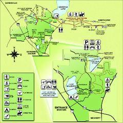
Paynes Prairie State Preserve Map
Map of preserve with detail of trails and recreation zones
38 miles away
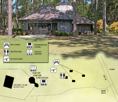
Forest Capital Museum State Park Map
Map of park with detail of recreation zones
50 miles away
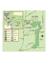
Rainbow Springs State Park Map
Map of park with detail of recreation zones
64 miles away
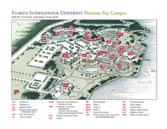
Florida International University at Biscayne...
69 miles away
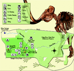
Silver River State Park Map
Map of park with detail of trails and recreation zones
69 miles away
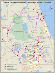
Jacksonville, Florida City Map
71 miles away
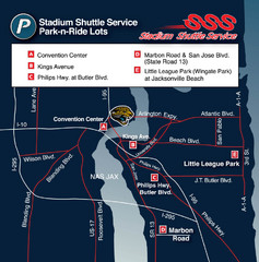
Stadium Shuttle Service Map
71 miles away
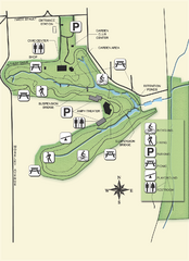
Ravine Gardens State Park Map
Map of park with detail of trails and recreation zones
71 miles away
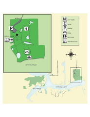
Crystal River Archeological State Park Map
Map of park with detail of trails and recreation zones
73 miles away
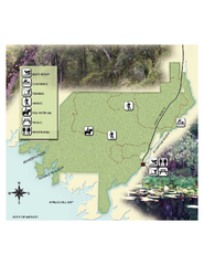
Econfina River State Park Map
Map of park with detail of trails and recreation zones
74 miles away
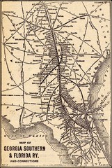
1913 Georgia Southern & Florida Railway Map
75 miles away

Citrus County, Florida Map
Tourist map of Citrus County, Florida. Shows parks, trails, museums, and other points of interest.
77 miles away
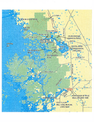
Crystal River Preserve State Park Map
Map of park with detail of recreation zones
79 miles away
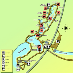
Homosassa Springs Wildlife State Park map
Map of park with detail of trails and recreation zones
82 miles away
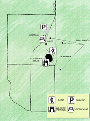
Letchworth-Love Mounds Map
Map of park with detail of trails and recreation zones
82 miles away
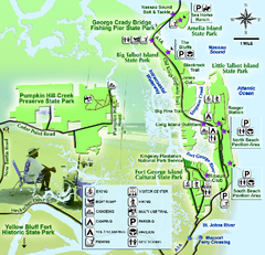
Jacksonville Area Florida State Parks Map
Overview map of Florida State Parks near Jacksonville, Florida. Shows Pumpkin Hill Creek Preserve...
83 miles away
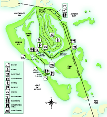
Lovers Key State Park Map
Map of park with detail of trails and recreation zones
87 miles away
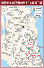
Downtown St. Augustine, Florida Map
Tourist map of historic downtown St. Augustine, Florida. Shows visitor information, restrooms, and...
87 miles away
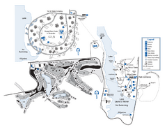
Laura S. Walker State Park Map
Map of park with detail of trails and recreation zones
87 miles away
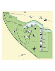
Edward Ball Wakulla Springs State Park Map
Map of park with detail of trails and recreation zones
92 miles away
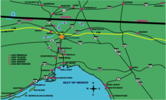
Tallahassee Freeway Map
Freeways and road leading to and from Tallahassee.
92 miles away
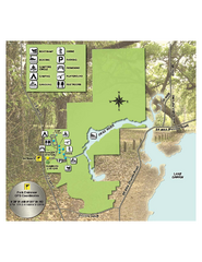
Lake Griffin State Park Map
Map of park with detail of trails and recreation zones
93 miles away
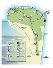
Fort Clinch State Park Map
Park map of Fort Clinch State Park in Amelia Island, Florida. Shows fort historic site, facilities...
94 miles away
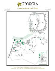
Crooked River State Park Map
Map of park with detail of trails and recreation zones
94 miles away
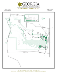
Reed Bingham State Park Map
Map of park with detail of trails and recreation zones
95 miles away
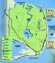
Bald Point State Park Map
Map of park with detail of trails and recreation zones
95 miles away
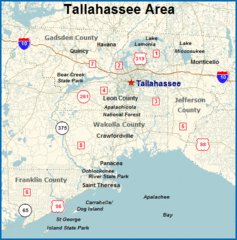
Tallahassee, Florida City Map
96 miles away
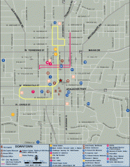
Downtown Tallahassee, Florida Map
Tourist map of downtown Tallahassee, Florida. Museums, government buildings and other points of...
96 miles away

Florida State University Map
Florida State University campus map. All buildings shown.
96 miles away

