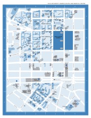
Yale University Campus South and Medical Center...
Yale University Campus South and Medical Center, including the Hewitt Quad, Cross Campus, Old Campus
0 miles away
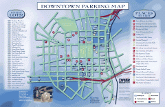
Downtown New Haven Parking Map
Shows locations of all town parking lots and also points of interest
less than 1 mile away

Yale University Map
less than 1 mile away
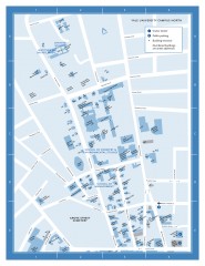
Yale University Campus North Map
Yale University Campus Map - North Campus, including School of Forestry & Environmental Studies...
less than 1 mile away
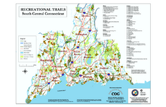
South Central Connecticut Recreational Trail Map
Map of South Central Connecticut showing all recreational trails and open spaces.
4 miles away
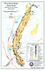
West Rock Ridge State Park map
Trail map of West Rock Ridge State Park in Connecticut.
4 miles away
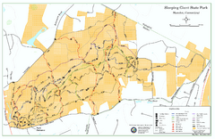
Sleeping Giant State Park map
Trail map for Sleeping Giant State Park in Connecticut.
9 miles away
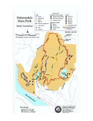
Osbornedale State Park map
Trail map of Osborndale State Park in Connecticut.
9 miles away
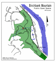
Birchbank Park Map
Several miles of moderately difficult trails along the Housatonic River bluff, including the...
10 miles away
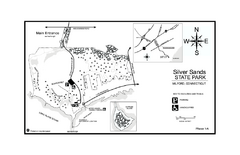
Silver Sands State Park map
Trail and campground map of Silver Sands State Park in Connecticut.
10 miles away
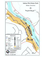
Indian Well State Park map
Trail map for Indian Well State Park in Connecticut.
11 miles away
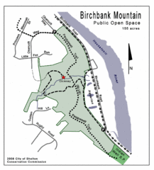
Birchbank Park Map
12 miles away
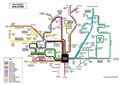
Guilford Bus Services Map
13 miles away
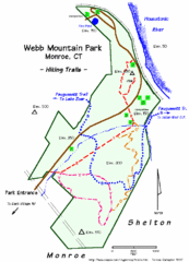
Webb Moutain Park Map
13 miles away
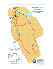
Southford Falls State Park map
Trail map for Southford Falls State Park in Connecticut.
16 miles away
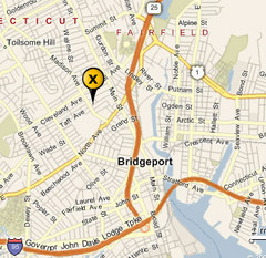
Bridgeport, Connecticut City Map
16 miles away
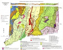
Connecticut Geologic Map
Geologic map of Connecticut bedrock. Shows shaded terranes, fault lines, and Mesozoic formations.
16 miles away
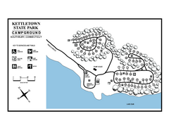
Kettletown State Park campground map
Campground map for Kettletown State Park in Connecticut.
16 miles away
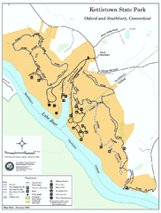
Kettletown State Park trail map
Trail map for Kettletown State Park in Connecticut.
16 miles away
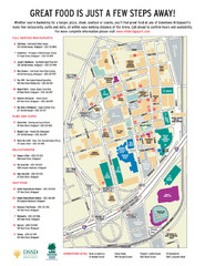
Arena at Harbor Yard Restaurants Map
List of many delicious restaurants and eateries.
17 miles away
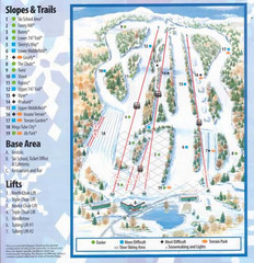
Powder Ridge Ski Area Ski Trail Map
Trail map from Powder Ridge Ski Area.
17 miles away
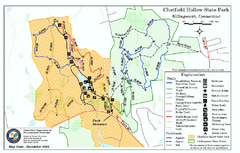
Chatfield Hollow State Park map
Trail map of Chatfield Hollow State Park
18 miles away
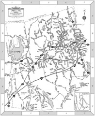
Middlebury, Connecticut Map
18 miles away
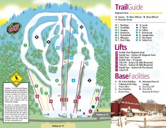
Mount Southington Ski Trail Map
Official ski trail map of Mount Southington ski area from the 2007-2008 season.
19 miles away
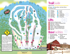
Mt. Southington Ski Area Ski Trail Map
Trail map from Mt. Southington Ski Area, which provides downhill, night, and terrain park skiing...
19 miles away

Hammonasset Beach State Park campground map
Campground map of Hammonasset State Park in Connecticut.
20 miles away
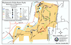
Wadsworth Falls State Park map
Trail map of Wadsworth Falls State Park in Connecticut.
20 miles away

Hammonasset Beach State Park map
Trail map for Hammonasset Beach State Park in Connecticut.
20 miles away
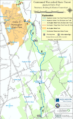
Centennial Watershed State Forest trail map
Trail map of Centennial Watershed State Forest in Connecticut
21 miles away
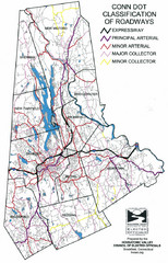
Connecticut Roadway Classification Map
21 miles away
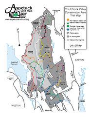
Trout Brook Valley Map
21 miles away
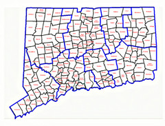
Connecticut Town Map
22 miles away
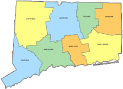
Connecticut Counties Map
22 miles away
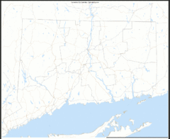
Connecticut Zip Code Map
Check out this Zip code map and every other state and county zip code map zipcodeguy.com.
22 miles away
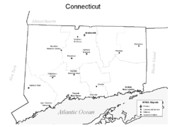
Conneticut Airports Map
22 miles away
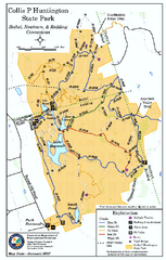
Collis P. Huntington State Park map
Trail map of Collis P. Huntington State Park in Connecticut
22 miles away
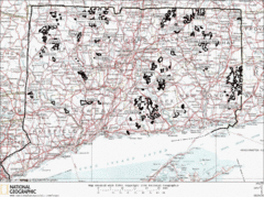
Connecticut State Forests Map
This is a map of all of the state forest boundaries in Connecticut. Follow the source web address...
22 miles away

Cockaponset State Forest South Section trail map
Trail map for the South Section of Cockaponset State Forest in Connecticut.
23 miles away

Cockaponset State Forest North Section trail map
Trail map for the north section of Cockaponset State Forest in Connecticut
23 miles away
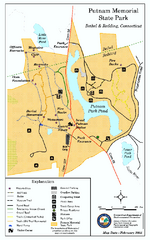
Putnam Memorial State Park map
Trail map for Putnal Memorial State Park in Connecticut,
23 miles away

