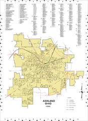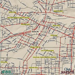
Akron, Ohio City Map
217 miles away
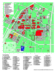
University of Akron Main Campus Map
University of Akron Main Campus Map. All buildings shown.
217 miles away

Potawatomi State Park Map
State Park map with marked trails and sites.
218 miles away
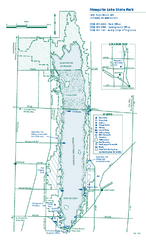
Mosquito Lake State Park map
Detailed recreation map for Mosquito Lake State Park in Ohio
218 miles away

Peak-N-Peek Ski Trail Map
Official ski trail map of Peak-N-Peek ski area
219 miles away
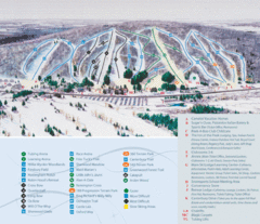
Peek’n Peak Ski Area Ski Trail Map
Trail map from Peek’n Peak Ski Area.
219 miles away
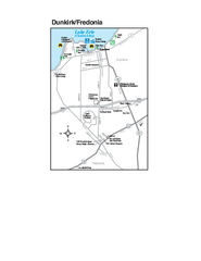
Dunkirk and Fredonia, New York Map
Tourist map of Dunkirk, New York, and Fredonia, New York. Shows shops, parks, lodging and other...
221 miles away
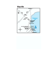
Downtown Mayville Map
Tourist map of Downtown Mayville, New York. Shows museums, restaurants, shops, government buildings...
221 miles away
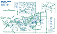
West Branch State Park map
Detailed recreation map for West Branch State Park in Ohio.
221 miles away
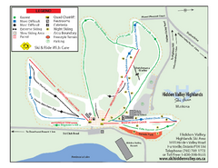
Hidden Valley Highlands Ski Trail Map
Trail map from Hidden Valley Highlands, which provides downhill skiing. This ski area has its own...
222 miles away
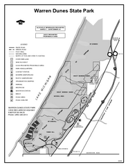
Warren Dunes State Park, Michigan Site Map
223 miles away

Allegheny College Map
Campus Map
223 miles away
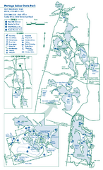
Portage Lakes State Park map
Detailed recreation map for Portage Lakes area in Ohio
223 miles away
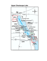
Upper Chautauqua Lake Map
Tourist map of upper Chautauqua Lake, New York. Shops, lodging, and other points of interest in the...
224 miles away
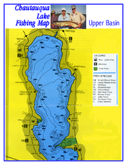
North Chautauqua Lake Fishing Map
Fishing map of northern Chautauqua Lake, New York. Shows marinas, boat ramps, state parks, and...
225 miles away
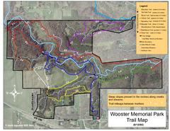
Wooster Memorial Park Trail Map
226 miles away
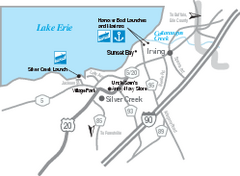
Silver Creek and Irving Map
Tourist map of Silver Creek and Irving, New York. Shows shops, boat ramps, and marinas.
226 miles away
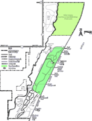
Kohler-Andrae State Park Map
trail, walk, water, nature, tourism, vacation, fun, adventure, journey,
227 miles away
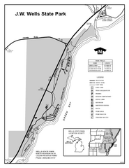
Wells State Park, Michigan Site Map
228 miles away
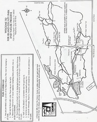
Fox Island Trail Map
Fox Island County Park trail map
228 miles away
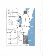
Eastern Wisconsin Map
228 miles away

Downtown Buffalo Map
229 miles away
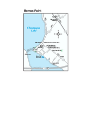
Bemus Point Map
Tourist map of Bemus Point, NY. Shows lodging, parks, shops, restaurants, and other points of...
229 miles away
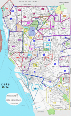
Buffalo, New York Tourist Map
229 miles away

Buffalo, New York City Map
229 miles away

University of Buffalo Campus Maps Map
North, South and Downtown
229 miles away
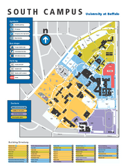
SUNY at Buffalo - South Campus Map
SUNY at Buffalo - South Campus Map. All buildings shown.
230 miles away
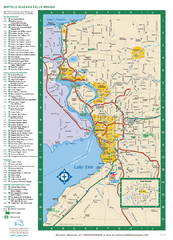
Buffalo, New York Map
Three tourist maps: one of the Buffalo, New York, area, one of the city of Buffalo, and one of...
230 miles away
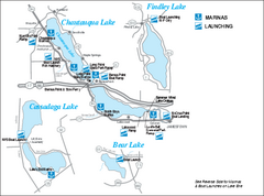
Marinas and Boat Ramps on Chautauqua and...
Recreation map of Chautauqua, Findley, Cassadaga, and Bear Lakes, New York. Shows marinas and boat...
230 miles away
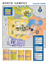
SUNY at Buffalo - North Campus Map
Campus Map of SUNY at Buffalo North campus. All buildings shown.
230 miles away

Oshawa Ski Club Ski Trail Map
Trail map from Oshawa Ski Club, which provides downhill skiing. This ski area has its own website.
230 miles away
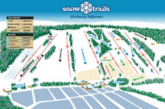
Snow Ski Trail Map
Trail map from Snow Trails.
230 miles away
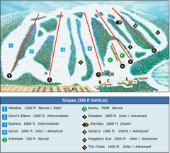
Devil’s Elbow Ski Trail Map
Trail map from Devil’s Elbow, which provides downhill skiing. This ski area has its own website.
230 miles away
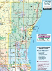
Ozaukee County Interurban Trail Map
Map of on and off trail key birding spots
232 miles away
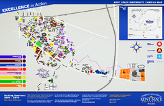
Kent State University Map
232 miles away
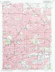
Northeast Buffalo Topo Map
1:24,000 topographic map of the northeast part of Buffalo, New York and surrounding suburbs...
232 miles away
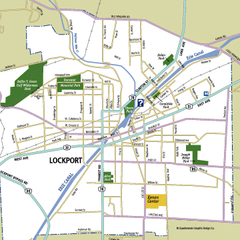
Lockport, New York Map
Map of downtown Lockport, New York, with parks, hospitals, and other points of interest shown.
232 miles away
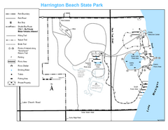
Harrington Beach State Park Map
Trails around Harington Beach State Park.
232 miles away
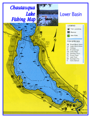
Southern Chautauqua Lake Fishing Map
Fishing map of southern Chautauqua Lake, New York. Shows marinas, boat ramps, state parks and fish...
233 miles away

