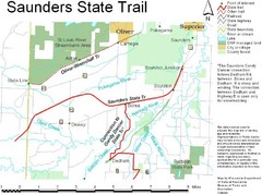
Saunders State Trail Map
Points of interest, lakes, roads, forests and more are marked on this map's key.
380 miles away
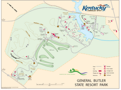
General Butler State Resort Park Map
Map of trails, facilities and golf course in General Butler State Resort Park.
380 miles away

Chestnut Mountain Resort Farside Ski Trail Map
Trail map from Chestnut Mountain Resort, which provides downhill, night, and terrain park skiing...
381 miles away

Chestnut Mountain Trail Map
Trail map taken from website Jan 2008
381 miles away
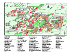
Illinois State University Map
Illinois State University Campus Map. All buildings shown.
381 miles away
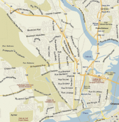
Hull, Quebec Tourist Map
381 miles away
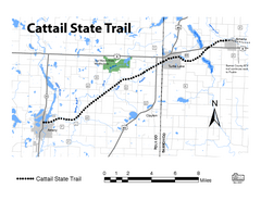
Cat Tail State Trail Map
Map marking trails, bike routes, shelter, toilets and more.
381 miles away
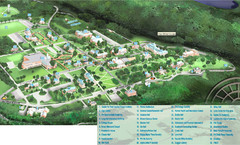
Hanover College Campus Map
Campus map of Hanover College in Hanover, IN. Shows all buildings including large number of...
382 miles away
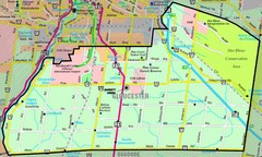
Gloucester Map
Street-map of Gloucester district
382 miles away

Milton State Park map
Detailed recreation map of Milton State Park in Pennsylvania
382 miles away
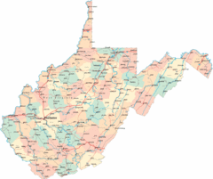
West Virginia Road Map
West Virginia Road Map
382 miles away
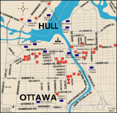
Ottawa Tourist Map
382 miles away
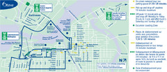
Ottawa Bus Tour Map
382 miles away
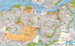
Ottawa, Ontario Tourist Map
382 miles away
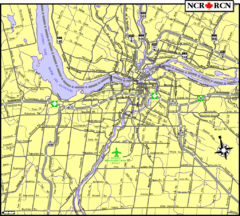
Ottawa, Ontario Tourist Map
382 miles away

Ottawa, Ontario Tourist Map
382 miles away
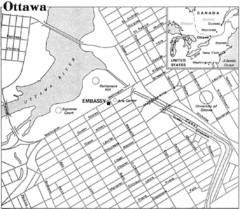
Ottawa, Ontario Tourist Map
382 miles away
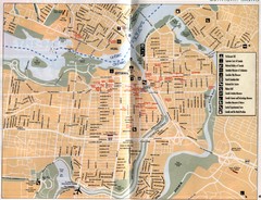
Ottawa Tourist Map
Tourist map of capital city of Ottawa, Canada. Shows tourist points of interest.
382 miles away
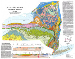
New York State Geologic Map
1:1,000,000 scale geological map of New York State
383 miles away

Whitecap Mountains Ski Trail Map
Trail map from Whitecap Mountains.
383 miles away

Rideau Hall Tour Bus Lay-By Map
383 miles away

Rideau Hall Tour Bus Parking Map
383 miles away

Bellevue State Park Map
Map of hiking trails, public hunting area and facilities of Bellevue State Park.
383 miles away
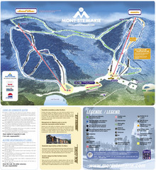
Mont Ste-Marie Ski Trail Map
Trail map from Mont Ste-Marie, which provides downhill skiing. This ski area has its own website.
384 miles away

West Virginia Counties Map
385 miles away
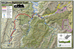
Trailmap72dpi Big Map
Detailed map of Allegheny Highland Trails and surrounding locations.
385 miles away
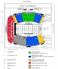
Marshall University Stadium Map
Clear map and legend of Marshall University's stadium.
385 miles away

Ogdensburg, New York Historical Map
A wonderful highlight are the art reproductions of homes and buildings which surround the map...
385 miles away
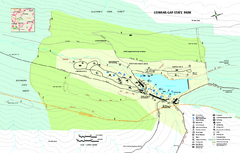
Cowans Gap State Park map
Detailed recreation map for Cowans Gap State Park in Pennsylvania
385 miles away
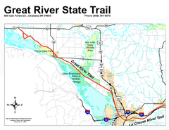
Great River State Trail Map
Nice hike through natural settings along a beautiful river.
385 miles away

Walnut Point State Park, Illinois Site Map
386 miles away
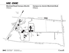
National Research Council Map
Montreal Road Campus visitor map, also in French. Provides location of campus buildings and roads.
386 miles away
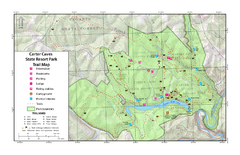
Carter Caves State Resort Park Topographic Trails...
Topographic map of the trails of Carter Caves State Resort Park.
386 miles away
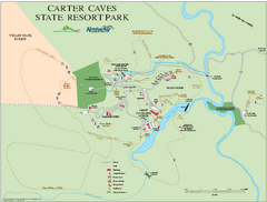
Carter Caves State Resort Park map
Detailed recreation map for Carter Caves State Park in Kentucky
386 miles away
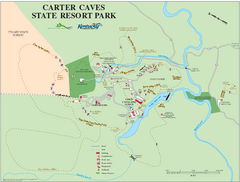
Carter Caves State Resort Park Map
Map of trails and facilities of Carter Caves State Resort Park.
386 miles away
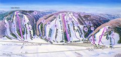
Snow Ridge Ski Trail Map
Trail map from Snow Ridge.
387 miles away
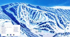
Canaan Valley Resort Ski Trail Map
Trail map from Canaan Valley Resort.
389 miles away
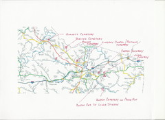
Carter County Cemetery Map
Cemeteries identified in Handwriting on map of Carter County with roads, cities and rivers.
390 miles away

Whitecap Ski Trail Map
Official ski trail map of Whitecap Mountains ski area. 43 runs.
390 miles away

