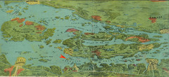
Wellesley Island Illustrated Map
Colorized illustration from "Thousand Islands" viewbook.
381 miles away
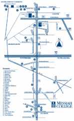
South Pennsylvania Restaurant Map
381 miles away

Rock Island State Park, Illinois Site Map
382 miles away
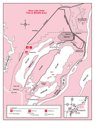
Rice Lake, Illinois Site Map
382 miles away

Maquoketa Caves State Park Map
Map of trails and park facilities for Maquoketa Caves State Park.
382 miles away
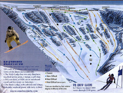
Sundown Mountain Ski Trail Map
Trail map from Sundown Mountain.
382 miles away
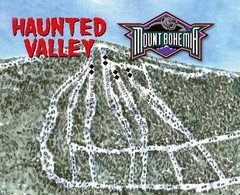
Mount Bohemia Haunted Valley Ski Trail Map
Trail map from Mount Bohemia.
383 miles away
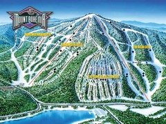
Mount Bohemia Frontside Ski Trail Map
Trail map from Mount Bohemia.
383 miles away
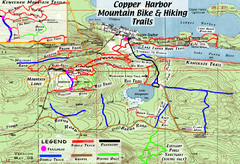
Copper Harbor Trail Map
Guide to mountain bike and hiking trails of Copper Harbor
383 miles away
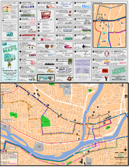
Binghampton Bus Route Map
383 miles away

Gettysburg Battlefield Map
383 miles away
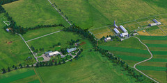
Eisenhower Farm National Historic Site Map
Visitor map of former US president Dwight D. Eisenhower's farm, a National Historic Site. 1.5...
384 miles away
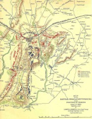
Gettysburg Battlefield map July 2, 1863
Map of the Union and Confederate positions in the Battle of Gettysburg July 2, 1863. "On July...
384 miles away
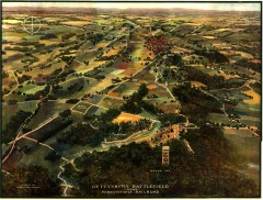
Gettysburg Battlefield in 1913 Map
Bird's eye view map of the Gettysburg Battlefield in 1913 by the Pennsylvania Railroad. From...
384 miles away
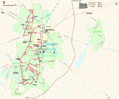
Gettysburg National Military Park Official Map
Official NPS map of Gettysburg National Military Park in Virginia. The park is open daily from 6...
384 miles away
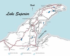
Keweenaw Peninsula Map
Map of the Keweenaw Peninsula, Michigan
384 miles away
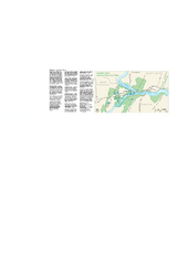
Harpers Ferry National Historical Park Official...
Official NPS map of Harpers Ferry National Historical Park in West Virginia-Maryland. Map shows all...
385 miles away
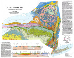
New York State Geologic Map
1:1,000,000 scale geological map of New York State
385 miles away
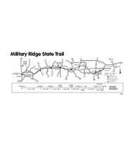
Military Ridge State Trail Map
Simple map marking trail route.
385 miles away
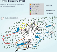
Mount Pakenham Nordic Ski Trail Map
Trail map from Mount Pakenham, which provides downhill and nordic skiing. This ski area has its own...
386 miles away
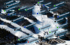
Mount Pakenham Ski Trail Map
Trail map from Mount Pakenham, which provides downhill and nordic skiing. This ski area has its own...
386 miles away

Bruce Mound Ski Area Ski Trail Map
Trail map from Bruce Mound Ski Area.
386 miles away
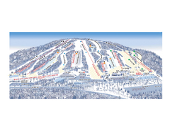
Ski Roundtop Ski Trail Map
Trail map from Ski Roundtop.
386 miles away
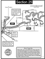
Mount Carmel, IL White River & Wabash River...
This is a page from the White River Guidebook. The map shows important information for boaters and...
386 miles away
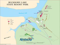
Buckhorn Lake State Resort Park Map
Map of Trails and Facilities of Buckhorn Lake State Resort Park.
387 miles away

Arnprior Downtown Map
Arnprior, Ontario, Canada
387 miles away
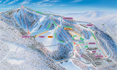
Winterplace Ski Resort Ski Trail Map
Trail map from Winterplace Ski Resort.
388 miles away
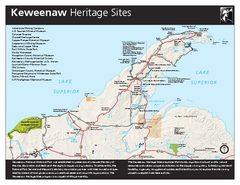
Keweenaw National Historical Park Official Map
Official NPS map of Keweenaw National Historical Park in Michigan. Map shows all areas. Park...
388 miles away
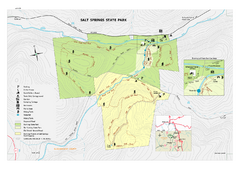
Salt Springs State Park map
Detailed recreation map of Salt Spring State Park in Pennsylvania.
388 miles away
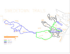
Swedetown Nordic Trail Map
Trail map of nordic ski trails in Swedetown, Michigan
389 miles away
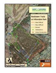
Rocktown Trail Map
Aerial trail map of Rocktown trails at Hillandale Park in Harrisonburg, VA
389 miles away
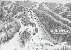
The Homestead Ski Area Ski Trail Map
Trail map from The Homestead Ski Area.
389 miles away
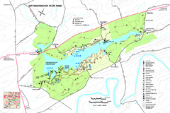
Gifford Pinchot State Park Map
Detailed map of Gifford Pinchot State Park in Pennsylvania.
389 miles away
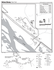
Nelson Dewey State Park Map
Easy trails for you to walk on your vacation.
389 miles away
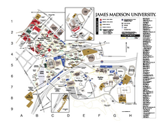
James Madison University Map
James Madison University Campus Map. All buildings shown.
389 miles away
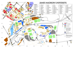
James Madison University Map
390 miles away
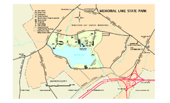
Memorial Lake State Park map
Detailed map of Memorial Lake State Park in Pennsylvania
390 miles away
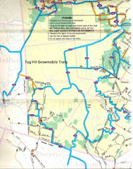
Tug Hill Trail Map
Tug Hill Area Snow Mobile Trail Map
390 miles away

Illinois State Fairgrounds Map
390 miles away
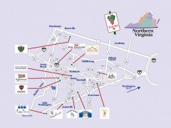
Blue Ridge vineyards map
Winery map of the Blue Ridge area of Virginia, showing wineries and vineyards.
391 miles away

