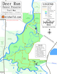
Deer Run Forest Preserve Map
Trail map of Deer Run Forest Preserve in Winnebago County, Illinois.
290 miles away
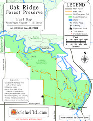
Oak Ridge Forest Preserve Map
Trail map of Oak Ridge Forest Preserve in Winnebago County, Illinois.
290 miles away
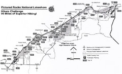
Pictured Rocks Hikers Challange Map
Hiking trail map of Hikers Challenge
290 miles away
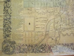
Beloit City Map
City map of Beloit, Wisconsin SW from 1858
291 miles away

Downtown Rochester, New York Map
Tourist map of downtown Rochester, New York. Various areas of interest, parking, and streets are...
291 miles away
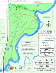
Espenscheid Forest Preserve Map
Trail map of Espenscheid Forest Preserve in Winnebago county, Illinois.
291 miles away

Seven Springs Mountain Resort Ski Trail Map
Trail map from Seven Springs Mountain Resort.
291 miles away
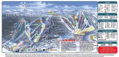
Hidden Valley Ski Trail Map
Trail map from Hidden Valley.
291 miles away
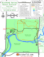
Blackhawk Springs Forest Preserve Map
Trail map of Blackhawk Springs Forest Preserve in Winnebago County, Illinois.
292 miles away

Downtown Johnstown Map
Downtown Johnstown road and bus route map.
292 miles away
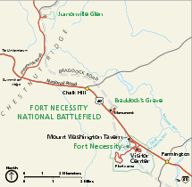
Fort Necessity National Battlefield Official Map
Official NPS map of Fort Necessity National Battlefield in Pennsylvania. The park is open daily...
292 miles away
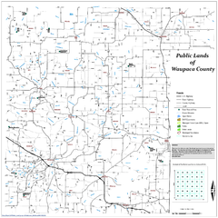
Public Lands of Waupaca County Map
292 miles away
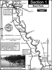
Columbus, IN White River East Fork Map
This is a page from the White River Guidebook. The map shows important information for boaters and...
292 miles away
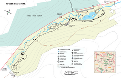
Kooser State Park Map
Detailed recreation map for Kooser State Park in Pennsylvania
292 miles away
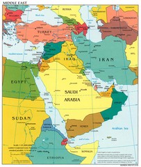
Middle East Political Map
292 miles away
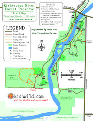
Kishwaukee River Forest Preserve Map
Trail map of Kishwaukee River Forest Preserve in Winnebago county, IL.
292 miles away
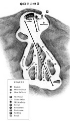
Mystic Mountain at Nemacolin Woodlands Resort Ski...
Trail map from Mystic Mountain at Nemacolin Woodlands Resort.
293 miles away
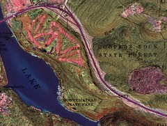
Coopers Rock State Forest Topo Map
Map shows parks and elevations
293 miles away
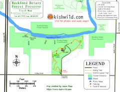
Rockford Rotary Forest Preserve Map
Trail map of Rockford Rotary Forest Preserve in Winnebago County, IL.
293 miles away
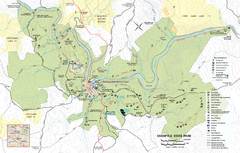
Ohiopyle State Park map
Detailed recreation map for Ohiopyle State Park in Pennsylvania.
293 miles away

Prince Gallitzin State Park Map
Detailed Recreation map of Prince Gallitzin State Park in Pennsylvania
293 miles away
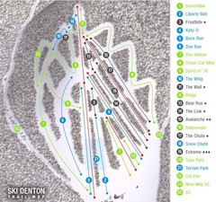
Ski Denton Ski Trail Map
Trail map from Ski Denton.
293 miles away

Kishwaukee Gorge Forest Preserve Map
Trail map of Kishwaukee Gorge Forest Preserve in Winnebago County, Illinois.
294 miles away
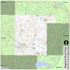
Regional Road Map of Waupaca County, Wisconsin
294 miles away
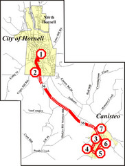
Canisteo-Hornell Bus Route Map
294 miles away
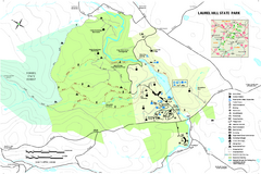
Laurel Hill State Park Map
Detailed recreation map for Laurel Hill State Park in Pennsylvania
294 miles away
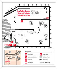
LaSalle Lake, Illinois Site Map
295 miles away
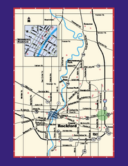
Rockford, Illinois Map
Tourist map of Rockford, Illinois. Museums, parks, hotels and other points of interest are shown.
295 miles away
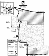
Marseilles State Park, Illinois Site Map
295 miles away

St. John Fisher College Map
Campus map
296 miles away
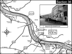
Ohio River at Maysville, Kentucky Map
This is a page from the Ohio River Guidebook. The map shows important information for boaters and...
296 miles away
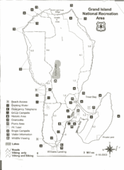
Grand Island National Recreation Area Map
296 miles away
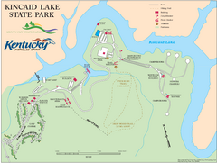
Kincaid Lake State Park Map
Map of trails, facilities and golf course in Kincaid Lake State Park.
296 miles away
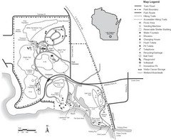
Lake Kegonsa State Park Map
Ball fields, drinking fountains, trails, and more easily guide you around this beautiful park.
298 miles away
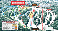
Norway Mountain Ski Trail Map
Trail map from Norway Mountain.
298 miles away
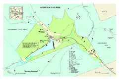
Lyman Run State Park Map
Detailed recreation map for Lyman Run State Park in Pennsylvania
298 miles away
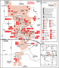
Kickapoo State Park, Illinois Site Map
298 miles away

Hunt Hollow Ski Trail Map
Trail map from Hunt Hollow.
299 miles away

Kettle Creek State Park Map
Detailed map of Kettle Creek State Park in Pennsylvania.
299 miles away
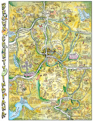
Brown County, Tennessee Tourist Map
299 miles away

