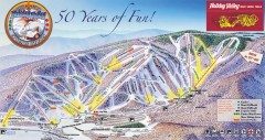
Holiday Valley Ski Trail Map
Official ski trail map of Holiday Valley ski area from the 2007-2008 season.
242 miles away

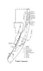
Potawatomi State Park Map
State Park map with marked trails and sites.
242 miles away
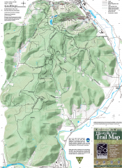
Ellicottville Area Trail Map
Shows mountain biking trails in the Holiday/Holimont/McCarty Hill/Rock City area south of...
243 miles away
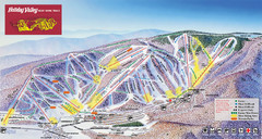
Holiday Valley Resort Ski Trail Map
Trail map from Holiday Valley Resort.
243 miles away

Tinley Creek Trail Map
Bicycle trail map
243 miles away
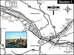
Ohio River at Pittsburgh, PA at the confluence of...
This is a page from the Ohio River Guidebook. The Ohio River begins at this confluence. This map...
243 miles away

Rock Island State Park Map
Tour around this beautiful state park.
243 miles away

Holiday Valley and Holimont Ski Area Map
WNYMBA - Mountain bike trail guide to ski area
243 miles away

Tinley Creek Map
Picnic Areas and Trail Map
243 miles away
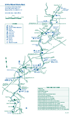
Little Miami State Park map
Detailed recreation map for Little Miami State Park and surrounding area in Ohio
243 miles away
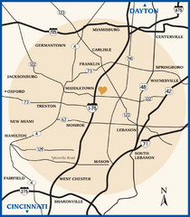
Atrium County Map
Map of Atrium County, Ohio. Includes all roads and towns.
243 miles away
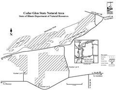
Cedar Glen State Park, Illinois Site Map
244 miles away
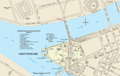
Point State Park Map
Recreation map for Point State Park in Pennsylvania
244 miles away
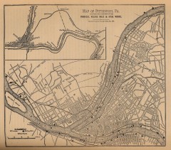
Antique map of Pittsburgh from 1879
"Map of Pittsburgh, Pa. Showing the Location of its Furnaces, Rolling Mills and Steel Works...
244 miles away
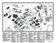
University of Pittsburgh - Main Campus Map
University of Pittsburgh - Main Campus Map. All buildings shown.
244 miles away
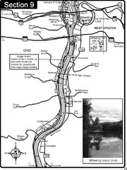
Ohio River at Wheeling, WV and 10 miles downriver...
This is a page from the Ohio River Guidebook. The map shows important information for boaters and...
245 miles away
Pittsburgh, Pennsylvania City Map
245 miles away
Pittsburgh, PA carved by carvedmaps.com Map
We can carve any location within the United States. Do you have a mountain cabin? We can carve...
245 miles away
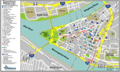
Pittsburgh Tourist Map
245 miles away
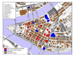
Pittsburgh Tourist Map
245 miles away
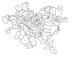
Pittsburgh neighborhoods Map
245 miles away
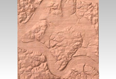
Pittsburgh map carved by CarvedMaps.com
Wood Map of the three rivers area of Pittsburgh, PA. CarvedMaps.com can carve any area within...
245 miles away

Clear Creek State Park map
Detailed map of Clear Creek State Park in Pennsylvania
245 miles away
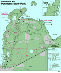
Peninsula State Park Map
Beautiful trails.
245 miles away

Palos & Sag Valley Map
Picnic Areas and Trail Map
246 miles away
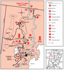
Chain O' Lakes, Illinois Site Map
246 miles away
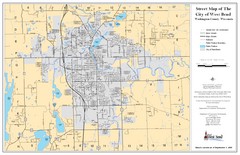
West Bend Street Map
Street map of city of West Bend, Wisconsin.
246 miles away
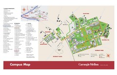
Carnegie Mellon Campus Map
Map of the Carnegie Mellon Campus. Includes all buildings, streets and the location of the campus...
246 miles away
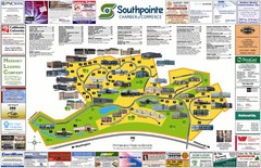
Southpointe Community Map
Tourist map of planned community in Pennsylvania
246 miles away
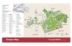
Carnegie Mellon Campus Map
Campus map of Carnegie Mellon University (CMU) in Pittsburgh, PA.
246 miles away
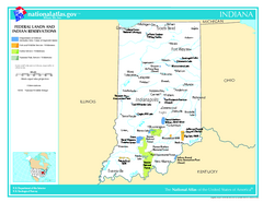
Indiana - Federal Lands and Indian Reservations...
The National Atlas of the United States of America, U.S. Geological Survey, 2003
247 miles away

Indiana Road Map
247 miles away
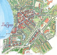
Lake Zurich, Illinois Tourist Map
247 miles away
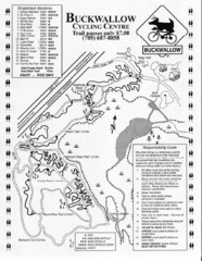
Buckwallow Trail Map
Biking trail map for Buckwallow Cycling Center
247 miles away
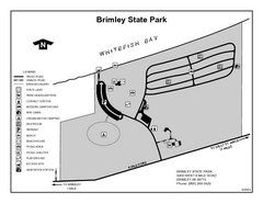
Brimley State Park, Michigan Site Map
248 miles away
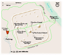
Hopewell Culture National Historical Park...
Official NPS map of Hopewell Culture National Historical Park in Ohio. Map shows all areas. he...
248 miles away

Wilmot Mountain Ski Trail Map
Trail map from Wilmot Mountain.
248 miles away
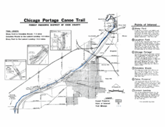
Chicago Portage Canoe Trail Map
Map of the Chicago Portage Canoe Trail in western Cook County on the Des Plaines River, Illinois...
248 miles away

Harper College Campus Map
Harper College Campus Map. All buildings shown.
248 miles away

