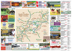
Avery County Attractions Map
Avery County Attractions Map
0 miles away

Avery County Restaurants Map
Avery County Tourist Map
0 miles away
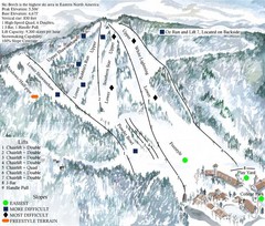
Beech Mountain Ski Resort Ski Trail Map
Trail map from Beech Mountain Ski Resort.
2 miles away
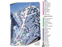
Sugar Mountain Resort Ski Trail Map
Trail map from Sugar Mountain Resort.
2 miles away
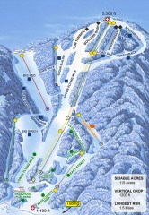
Sugar Mountain Ski Trail Map
Official ski trail map of Sugar Mountain ski area
3 miles away
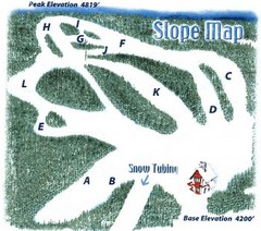
Hawksnest Golf & Ski Resort Ski Trail Map
Trail map from Hawksnest Golf & Ski Resort.
9 miles away
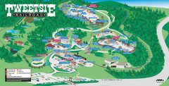
Tweetsie Tourist Map
10 miles away
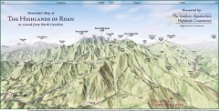
Panoramic Map of the Highlands of Roan (from NC)
Panoramic Map of the Roan Mountain Highlands as seen from North Carolina.
10 miles away
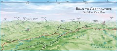
Panoramic View of Roan to Grandfather Map
This panorama takes in the vista from Roan to Grandfather mountain - overlooking the upper Linville...
11 miles away
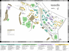
Appalachian State University Campus Map
Campus map of Appalachian State University in Boone, NC
11 miles away
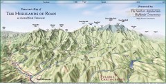
Panoramic Map of the Highlands of Roan (from TN)
Panoramic map of the Highlands of Roan as seen from Tennessee.
11 miles away

Roan Mountain Panorama Map
Panoramic Map of the View from the Baud Family Cabin of Roan Mountain, TN. The view overlooks...
11 miles away

Watauga County Attractions Map
Watauga County Tourist Attractions
12 miles away

Watauga County Restaurants Map
Watuaga County Restaurant Guide
12 miles away
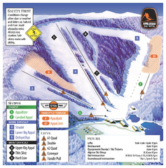
Appalachian Ski Mtn. Ski Trail Map
Trail map from Appalachian Ski Mtn..
12 miles away
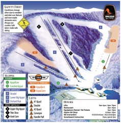
Appalachian Ski Trail Map
Official ski trail map of Appalachian ski area
12 miles away
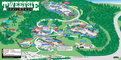
Tweetsie Railroad Park Map
Tweetsie Railroad is a unique attraction that allows children and families to explore their...
12 miles away
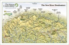
New River Headwaters Panorama Map
This panoramic map of the New River Headwaters area in North Carolina highlights TNC conservation...
19 miles away
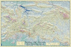
Boone, NC Outdoor Recreation Map
Guide to Boone, NC region
22 miles away
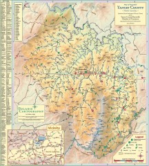
Yancey County Chamber of Commerce Map
Map of Yancey County, North Carolina. Shows all public roads, communities, hiking trails and picnic...
25 miles away
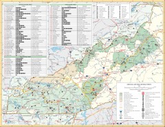
Pisgah National Forest and Nantahala National...
Pisgah National Forest and Nantahala National Forest recreation map. Contains list of all...
25 miles away
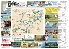
Ashe County Attractions Map
Ashe County Attractions
29 miles away
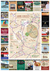
Ashe County Restaurant Map
Ashe County Restaurant Map
29 miles away
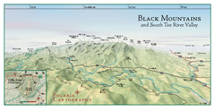
Black Mountains Panorama Map
This map portrays a sweeping vista of the Black Mountains and South Toe River Valley - extending...
29 miles away
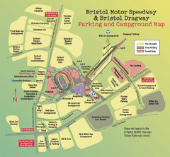
Bristol Motor Speedway Map
Guide to the campgrounds and parking at the Speedway
32 miles away
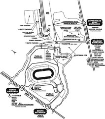
Bristol Dragway Map
Guide to campgrounds and parking at Bristol Dragway
32 miles away
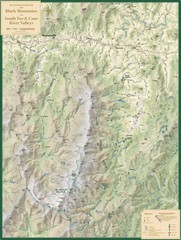
Black Mountains and South Toe and Cane River...
Guide to recreation around Mt. Mitchell State Park and Black Mountains
33 miles away
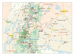
Appalachian Trail in North Carolina Map
Appalachian Trail in North Carolina. Shows major summits, National Forests, and hiking clubs.
33 miles away
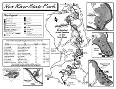
New River State Park map
Detailed recreation map for the New River State Park in North Carolina
35 miles away
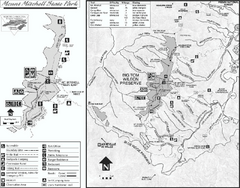
Mount Mitchell State Park map
Detailed recreational map for Mt. Mitchell State Park in North Carolina
35 miles away
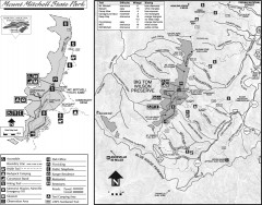
Mount Mitchell State Park map
Official map of Mt. Mitchell State Park in North Carolina. Park contains the 6,684 ft summit of...
36 miles away
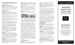
Grayson Highlands State Park Map
Clear and descriptive map of this beautiful state park.
38 miles away
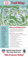
Wolf Laurel Ski Resort Ski Trail Map
Trail map from Wolf Laurel Ski Resort.
38 miles away
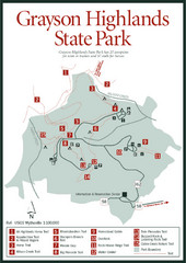
Grayson Highlands State Park Map
39 miles away
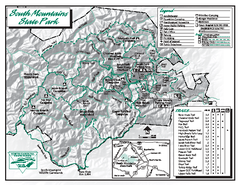
South Mountains State Park map
Detailed recrational map for South Mountain State Park in North Carolina
41 miles away
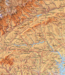
North Carolina Mountains Map
Location of the South, Brushy, and Blue Ridge Mountain ranges in Western North Carolina.
42 miles away
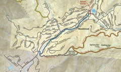
Montreat trail map
Detailed guide to the trail system surrounding the village of Montreat, NC.
43 miles away
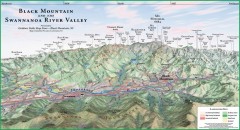
Black Mountain Panorama map
Panoramic map of the Black Mountain, NC and Swannanoa River Valley. Shows all mountains with...
44 miles away
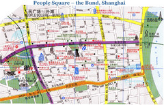
Bund Shanghai Tourist Map
46 miles away
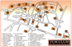
Tusculum College Campus Map
Campus map of Tusculum College in
50 miles away

