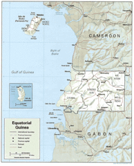
Equatorial Guinea Guide Map
2105 miles away

St Helena Map
2135 miles away
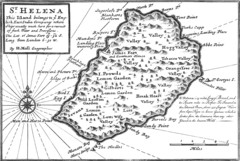
St. Helena 1732 Map
2136 miles away

St. Helena Topography Map
2138 miles away
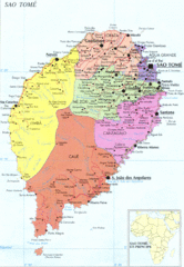
Sao Tome Political Map
Political map of island of São Tomé, lying on the equator off the west coast of...
2155 miles away
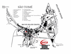
Sao Tome City Map
City map of Sao Tome with tourist information
2158 miles away
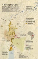
Omo River Ethiopia Map
Choking of the Omo River from National Geographic Magazine
2184 miles away
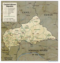
Central African Republic Map
Guide to Central African Republic
2191 miles away
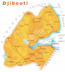
Djibouti, Africa Map
2193 miles away
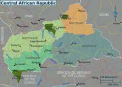
Central African Republic Regions Map
2209 miles away
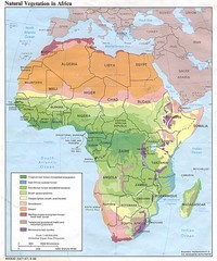
Africa Natural Vegetation Map
Map of natural vegetation throughout Africa
2214 miles away
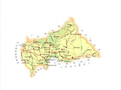
Central African Republic Map
2219 miles away
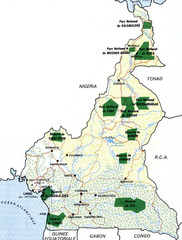
Cameroon parks Map
2222 miles away
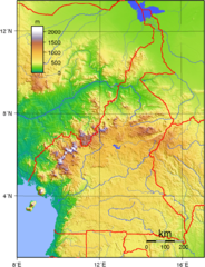
Cameroon topographical Map
2231 miles away
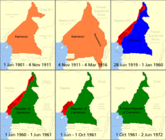
Cameroon boundary changes Map
2240 miles away
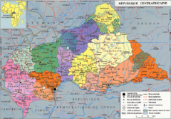
Central African Republic Map
2255 miles away
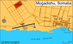
Mogadishu, Somalia Tourist Map
2259 miles away
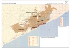
Mogadishu, Somalia Tourist Map
2259 miles away
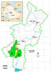
Omo River Drainage area Map
2260 miles away
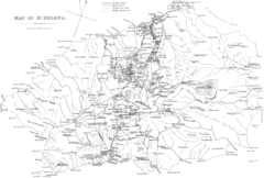
St Helena Historical Map
Map of St Helena by Fowler
2262 miles away
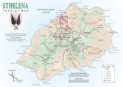
St. Helena Tourist Map
Tourist map of the remote island of St. Helena. Shows details of key locations, routes and...
2262 miles away
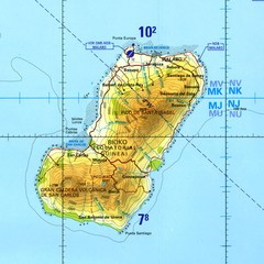
Bioko-Fernando Po island Map
2267 miles away
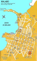
Malabo city Map
2282 miles away
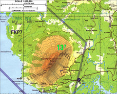
Mt Cameroon Topo Map
Topographic map of Mt. Cameroon, 13,255 feet.
2297 miles away
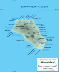
Gough Island Map
2336 miles away
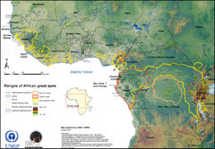
African Great Apes Habitat Range Map
Shows habitat ranges of chimpanzees, bonobos, and gorillas
2337 miles away
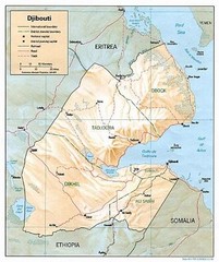
Djibouti Tourist Map
2352 miles away
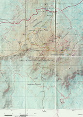
Bale Mountains National Park Map
2354 miles away
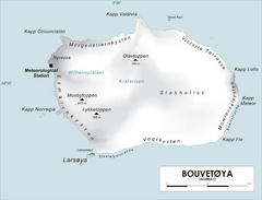
Bouvet Island Map
Map of Bouvet Island in the Southern Atlantic Ocean. Shows peaks and meteorological station.
2360 miles away

Mahe Island Map
2399 miles away

Seychelles Map
2400 miles away
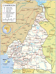
Cameroon Map
Large and detailed map and legend.
2400 miles away
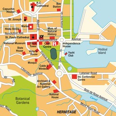
Port Victoria city Map
2400 miles away
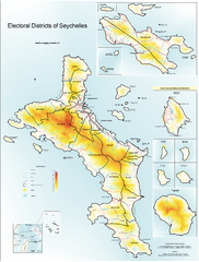
Seychelles Electoral Map
Shows electoral districts of the Seychelles Islands in the middle of the Indian Ocean.
2407 miles away

Rodrigues Island with Cap Soleil Agency Map
2414 miles away
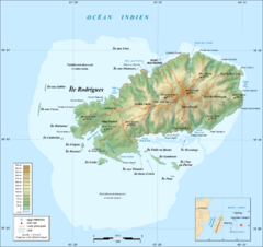
Rodrigues Island Topo Map
Island topographic map of Rodrigues Island. In French.
2414 miles away
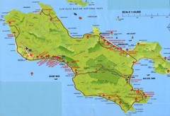
Grand Anse tourist Map
2428 miles away
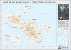
Vallee de Mai nature Reserve Map
2428 miles away

