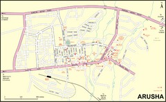
Arusha Town Map
Town map with lodging locations identified
1638 miles away
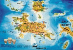
Ukerewe Island Lake Victoria Map
1638 miles away
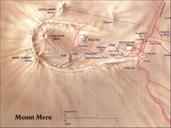
Mount Meru Physical Map
1647 miles away
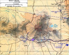
Mount Meru Topographic Map
Topographic map of Mount Meru in Nothern Tanzania
1647 miles away
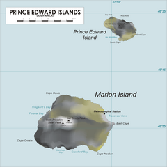
Prince Edward Island Map
Map of islands of South Africa
1662 miles away
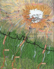
Kilimanjaro Climbing Route Map
Hand-drawn map shows major climbing routes on the southern side of Mt. Kilimanjaro, Tanzania...
1674 miles away
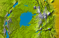
Lake Victoria topography Map
1681 miles away
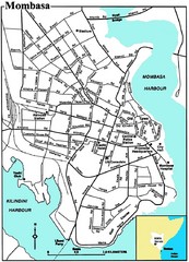
Mombasa City Map
Simple and clear map of this Kenyan city.
1692 miles away
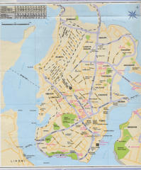
Mombasa City Map
1693 miles away
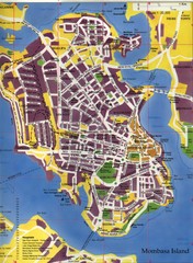
Mombasa City Map
City street map of Mombasa Island, Kenya
1693 miles away
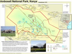
Amboseli National Park Map
Park map of Amboseli National Park, Kenya, home of elephants.
1700 miles away
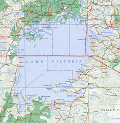
Lake Victoria 1968 Map
1702 miles away
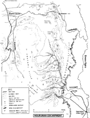
Nguruman Mountain Map
1723 miles away
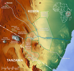
Tsavo National Park Map
1740 miles away
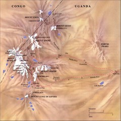
Rwenzori National Park Mt. Stanley Map
1753 miles away
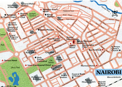
Nairobi City Map
Close up map marking roads and parks in downtown Nairobi.
1774 miles away
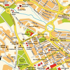
Niarobi City Map
1774 miles away
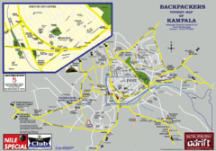
Kampala Tourist Map
Tourist map of Kampala
1786 miles away
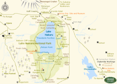
Lake Nukuru Map
Lake Nukuru and its surrounding areas provide for an amazing safari experience.
1810 miles away
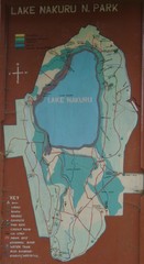
Lake Nakuru National Park Map
1814 miles away
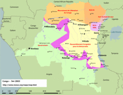
Congo Map
Cities, capitols, borders and more are clearly marked on this map.
1823 miles away
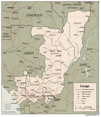
Congo 1986 Guide Map
1823 miles away
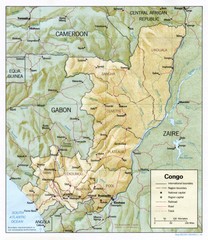
Congo Physical Relief Map
Physical relief map of the Republic of the Congo. Shows major roads and cities.
1823 miles away
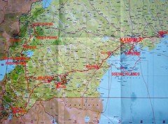
Uganda Tourist Map
1824 miles away
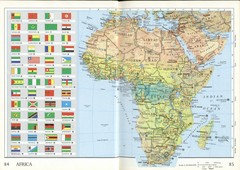
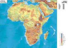
Africa Flag Map
Physical map of Africa with flag legend for all countries. Scanned.
1825 miles away
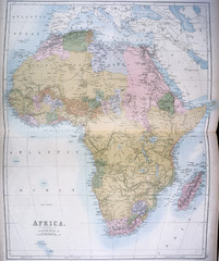
Africa Map 1885
Shows Africa with pre-colonial boundaries demarcated at the Berlin Conference of 1885.
1825 miles away
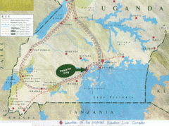
Uganda Tourist Map
Map of Uganda shows Trails and the proposed location of Equator City.
1852 miles away
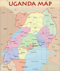
Uganda Political Map
Political map of Uganda. Shows regions, cities, and water features.
1852 miles away
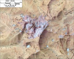
Mt. Kenya Topo Map
Topographical map of Mt. Kenya, the second highest mountain in Africa at 17058 ft
1859 miles away
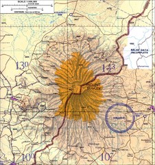
Mount Elgon topo. Map
1877 miles away
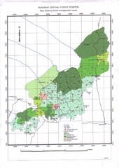
Budongo Forest Map
Budongo Forest Map Shows color-coded forest management zones.
1880 miles away
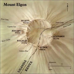
Mount Elgon shaded relief Map
1882 miles away
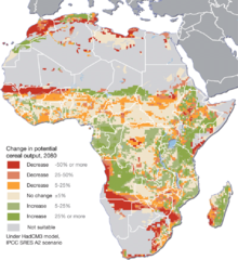
Projected climate change impacts for agriculture...
Africa is one of the regions that will be hit the hardest by climate change, and it will likely...
1883 miles away
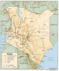
Kenya Tourist Map
1884 miles away
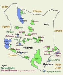
Kenya Tourist Map
1884 miles away
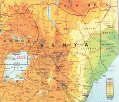
Kenya Map
Physical map of Kenya. Shading based on elevation.
1884 miles away
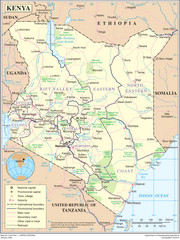
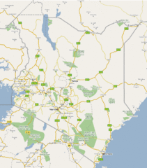
Kenya Overview Map
Overview map of Kenya. Shows major cities, roads, and national parks.
1884 miles away

