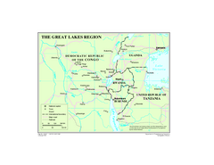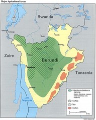
Burundi Agricultural Map
Map of Burundi's major agricultural areas
1485 miles away
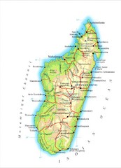
Madagascar Map
Guide to the African country of Madagascar
1487 miles away
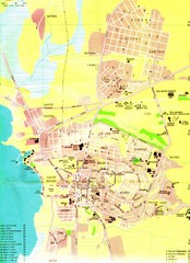
Bujumbura City Map
1491 miles away
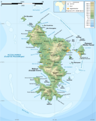
Mayotte Topographic Map
Guide to the island nation of Mayotte
1496 miles away
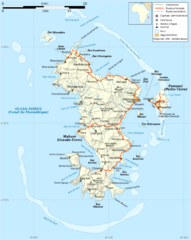
Mayotte Map
Guide to the country of Mayotte, an overseas collectivity of France
1497 miles away
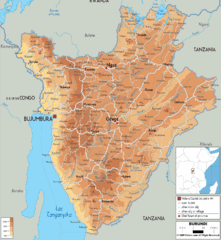
Burundi Physical Map
1497 miles away
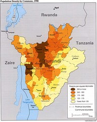
Burundi Population Density Map
Map of Burundi's population density by commune
1498 miles away
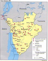
Burundi Power Plant Map
Map marking hydroelectric and thermal power plants, plus transmission lines.
1498 miles away
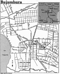
Burundi City Map
Simple city map labeling road systems.
1498 miles away

Mayotte tourism Map
1499 miles away
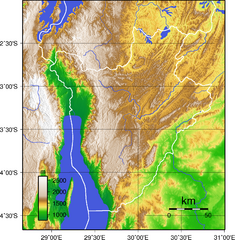
Burundi Topography Map
Color-coded physical relief map of country of Burundi
1505 miles away
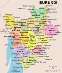
Burundi Political Map
1509 miles away
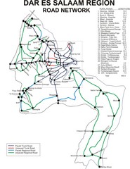
Dar Es Salaam Road Map
Map of road network in Dar Es Salaam, Tanzania
1517 miles away
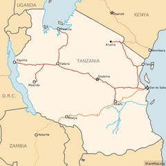
Railways in Tanzania Map
Railway network of Tanzania Map licensed on Creative Commons Share Alike License 3.0 You can...
1517 miles away
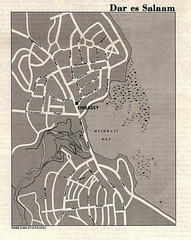
Dar es Salaam, Tanzania Tourist Map
1517 miles away
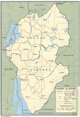
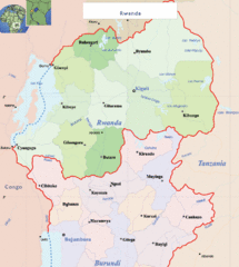
Rwanda and Burundi Guide Map
1558 miles away
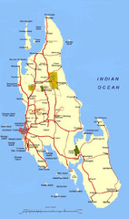
Zanzibar Tourist Map
1559 miles away
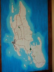
Zanzibar Island Map
Island map of Zanzibar, Tanzania From photo Oct 3 2007
1560 miles away
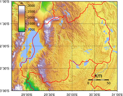
Rwanda Topography Map
1573 miles away
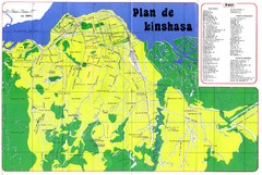
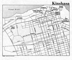
Kinshasa Overview Map
Overview map of Kinshasa, Democratic Republic of Congo shows major streets.
1576 miles away
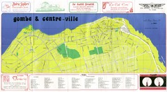
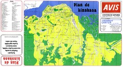
Kinshasa Gombe and Centreville Tourist Map
Tourist map of Gombe and Centreville in Kinshasa. Shows streets and points of interest. In French...
1579 miles away
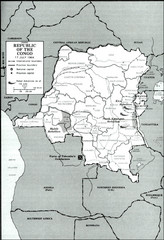
Republic of the Congo 1964 Military Map
Map of the military situation with a hostage crisis in 17 July 1964. Map shows rebel forces and...
1585 miles away
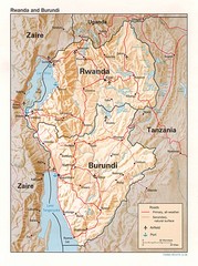
Rwanda Topographic Map
Guide to the African country of Rwanda
1586 miles away
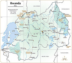
Rwanda Parks and Rainforest Map
1595 miles away
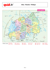
Rwanda Regional Map
Map of Rwanda with detail of regional divides
1595 miles away
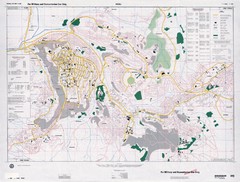
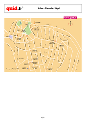
Kigali Road Map
1597 miles away
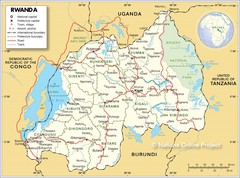
Rwanda Road Map
1604 miles away
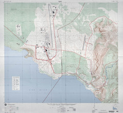
Goma Map
Goma, Democratic Republic of the Congo • original scale 1:7,500, Edition 3-DMA, Series Z091.
1606 miles away
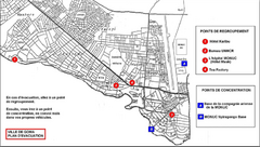
City of Goma Evacuation Plan, late 2007 Map
Map of Goma indicating evacuation points for Congolese government push against rebel groups (mostly...
1607 miles away
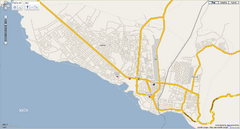
Goma, Congo street map
Street map of eastern Congo–Kinshasha city of Gome, near the Rwanda border. Produced by...
1607 miles away
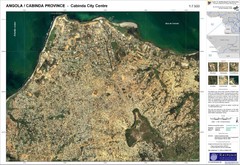
Cabinda City Map
Topo city map of central Cabinda, Angola. Shows points of interest.
1609 miles away
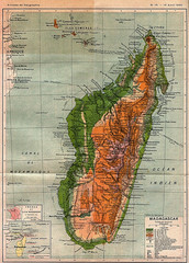
1895 Madagascar Map
Historic map of Madagascar
1614 miles away
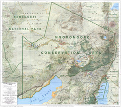
Ngorongoro Conservation Area Map
1624 miles away
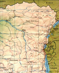
Zaire (Eastern Region) Map
Eastern Zaire (now Democratic Republic of the Congo)
1634 miles away
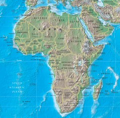
Physical Africa Map
1635 miles away

