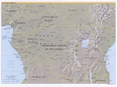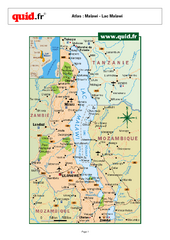
Lake Malawi Map
Map of Lake Malawi and surrounding region
935 miles away
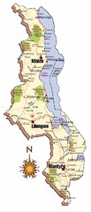
Malawi Map
959 miles away
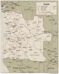
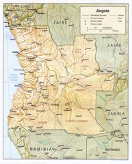
Angola Political Map
Guide to regions of the country of Angola
966 miles away
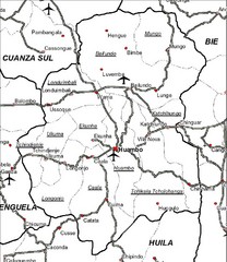
Huambo City Map
Simple road map marking streets and airports.
970 miles away
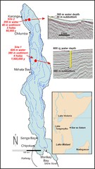
Lake Malawi Bathemetric Map
994 miles away
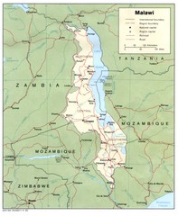
Malawi Map
Guide to Malawi, a country in Africa
1009 miles away
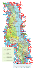
Malawi Overview Map
Overview of country of Malawi on Lake Malawi. Shows roads and rivers.
1012 miles away
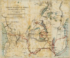
Forest Plateau of Africa Map
A historical Map of the Forest Plateau of Africa. Includes rivers, lakes, cities, and the route of...
1018 miles away

Angola detailed Map
1019 miles away
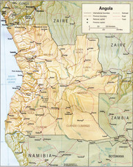
Angola relief Map
1024 miles away
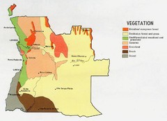
Angola vegetation Map
1037 miles away
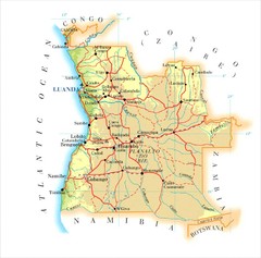
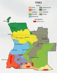
Angola Map
1044 miles away
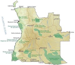
Angola National Parks Map
1064 miles away
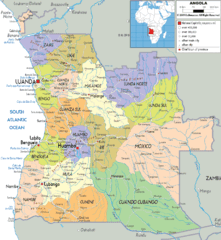
Angola poiitical regions Map
1069 miles away
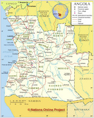
Angola Political Map
Detailed map of Angola marking borders, rivers,capitols, airports, provinces and more.
1074 miles away
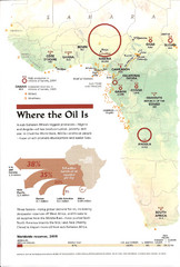
Sub-Saharan Africa Oil Map
Shows major oil producing countries in Sub-Saharan Africa. Biggest two countries are Nigeria and...
1110 miles away

Lake Malawi Map
1119 miles away
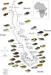
Fish of Lake Tanganyika Map
1279 miles away
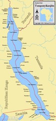
Lake Tanganyika Map
Deepest Lake in Africa at 4823 ft.
1294 miles away

Madagascar land cover and elevation Map
1322 miles away
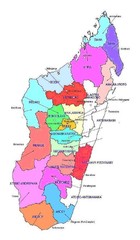
Madagascar regions Map
1393 miles away
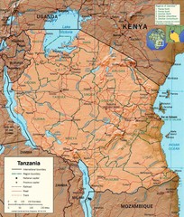
Tanzania Map
1398 miles away
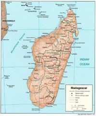
Madagascar Roads and Trains Map
Cities, roads and train lines.
1401 miles away
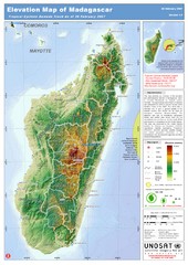
Madagascar Elevation Map
Shows color-coded elevation of island of Madagascar. Shows tropical cyclone Gamede track as of Feb...
1401 miles away
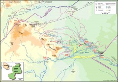
Seleous Game reserve, northern portion Map
Shows the northern part of the Seleous Game reserve in Tanzania around the Rufiji River and Beho...
1416 miles away
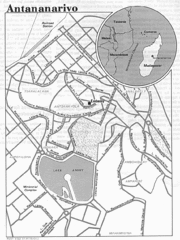
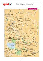
Antananarivo, Madagascar Tourist Map
1438 miles away
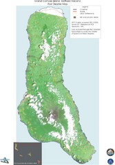
Grand Comore Island Volcanic Eruption Map
Karthala volcanic eruption post disaster map on Grand Comore Island, 8/12/2005
1448 miles away

Grand Comore Island Topography Map
1454 miles away
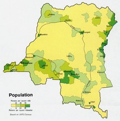
Zaire Population Map
This map clearly marks the distribution of Zaire's population.
1456 miles away
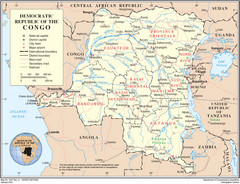
Democratic Republic of Congo Map
Overview map of the Democratic Republic of Congo (DRC).
1456 miles away

Comoros Islands Map
1469 miles away

Early East and Central Africa Map - Slug Map
Sketch of a Map from 1 & deg;N. to 15 & deg;S. Latitude and from 23 & deg; to 43 &...
1470 miles away
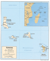
Mayotte Regional Map
Guide to the area around Mayotte
1474 miles away
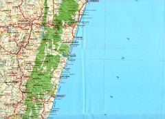
Antananarivo region Map
1479 miles away
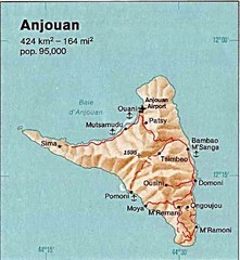
Anjouan Island topography Map
1484 miles away

