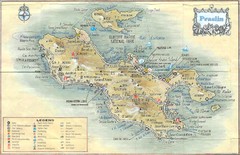
Praslin Island Map
Guide to the second largest island of the Seychelles
2429 miles away
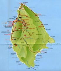
La Digue tourist Map
2433 miles away
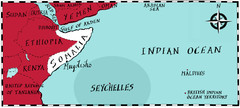
Somalia by Maps Illustrated Map
Map from Diplomat Magazine showing the location of Somalia and the area of sea that the Seychelles...
2472 miles away
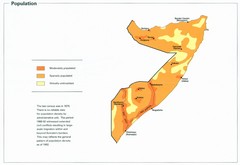
Somalia Population Density Map
Map of Somalia's population density
2472 miles away
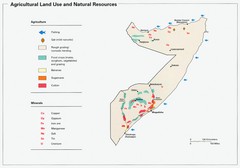
Somalia Land Use Map
Map of Somalia's agricultural land use and natural resources
2472 miles away
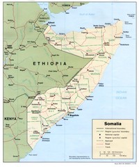
Somalia Map
Basic map and legend marking borders and cities.
2472 miles away
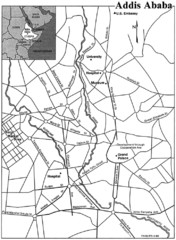
Addis Ababa Map
2485 miles away
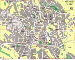
Addis Ababa City Map
Large and descriptive city map marking roads and other facilities.
2486 miles away
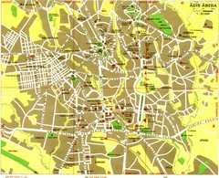
Addis Ababa Tourist Map
2486 miles away
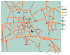
Central Addis Ababa Tourist Map
2486 miles away
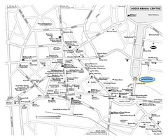
Addis Ababa Tourist Map
2486 miles away
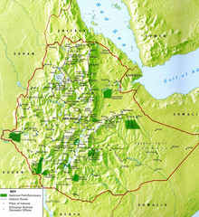
Ethiopia National Parks Map
2494 miles away
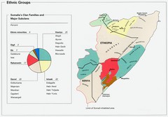
Somalia Ethnic Groups Map
Map of ethnic groups throughout Somalia
2495 miles away
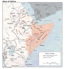
Horn of Africa Ethnic Groups Map
Map of ethnic groups throughout Horn of Africa region
2519 miles away
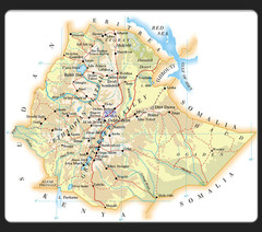
Ethiopia Map
2519 miles away
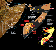
Somalia Conflict Map 2002
Shows conflict related information in Somalia from 2001-2002.
2520 miles away
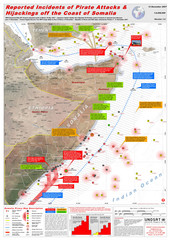
Somali Pirate Attacks Map as of Dec 12, 2007
Shows reported incidents of pirate attacks and hijackings off the coast of Somalia from Jan 2005...
2520 miles away

Ehtiopia Political Map
2534 miles away
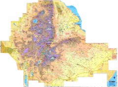
Ethiopia Elevation Map
Color coded elevation map of Ethiopia
2537 miles away
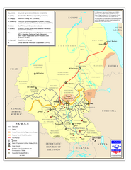
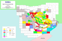
Sudan Oil and Gas Map
Map of Sudan's oil and gas concession holders
2613 miles away
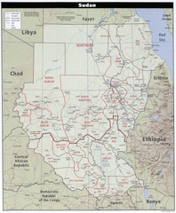
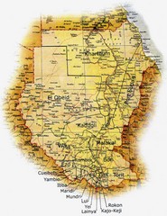
Sudan Map
Clear map of this amazing African nation.
2613 miles away
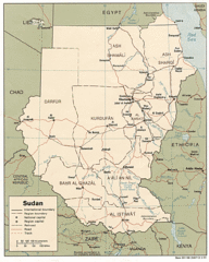
Sudan Map
Railroads, tracks, cities and borders are are marked on this clear map and legend.
2620 miles away
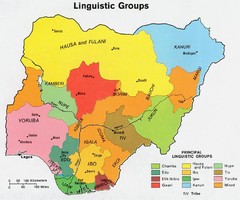
Nigeria Linguistic groups 1979 Map
2635 miles away

Sudan Darfur Province Map
Map of Sudan's Darfur province including high level of details for villages. Source(s...
2638 miles away
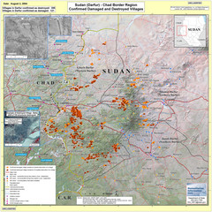
Villages Destroyed in Darfur, Sudan Map
Guide to villages destroyed as of August 2, 2004 in the Darfur region of Sudan
2647 miles away
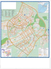
Abuja City Tourist Map
Tourist map of Abuja, Nigeria. Mostly illegible.
2647 miles away

Lake Tana Map
2648 miles away
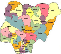
Nigeria political regions Map
2658 miles away
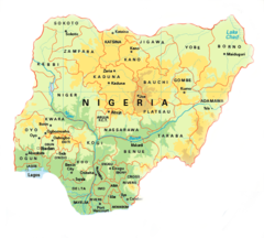
Nigeria Map
2662 miles away
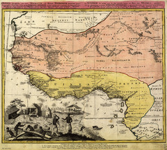
Erben’s Map of Western Africa (1743)
Homann Erben's map of the "Barbary Coast" of Western Africa in 1743.
2664 miles away
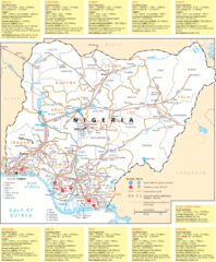
Nigeria electric grid Map
2668 miles away
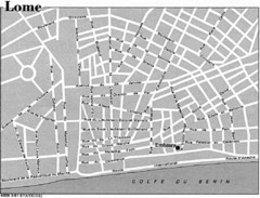
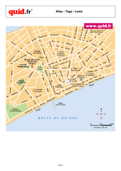
Lome, Togo Tourist Map
2706 miles away
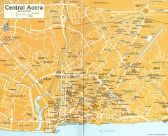
Central Accra Tourist Map
Tourist map of Accra, Ghana showing hotels, embassies, airline offices and neighborhoods.
2735 miles away
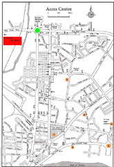
Accra Ghana Map
City center map of Accra, Ghana with tourist attractions identified on the map with street level...
2745 miles away

