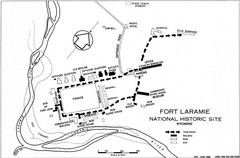
Fort Laramie Guide Map
A layout of the National Historic site Fort Laramie in Wyoming.
351 miles away
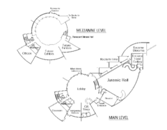
Utah Field House of Natural History Map
So much time is revealed here, even more geologic time than in the Grand Canyon. Within an 80-mile...
352 miles away

Kansas Map Circa 1910
353 miles away

Hopi Reservation Map
Hopi Reservation locations in Arizona
353 miles away
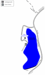
Steinaker State Park Map
Fish for rainbow trout and largemouth bass, and enjoy sandy beaches, swim, boat, and waterski at...
355 miles away
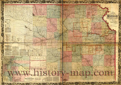
Kansas Railroad Map 1867
Here for your perusal is a sectional map of the state of Kansas showing the route of the Union...
356 miles away
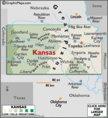
Kansas Elevations Map
356 miles away
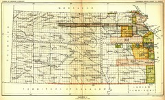
Kansas Native American Territories 1866-1867 Map
489., 492 Cherokee, 19 Jul 1866 (on Indian Territory Map 22, Kansas, Map 27) 495. Sauk and Fox of...
356 miles away
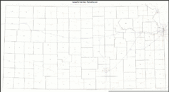
Kansas Zip Code Map
Check out this Zip code map and every other state and county zip code map zipcodeguy.com.
356 miles away
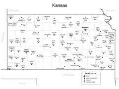
Kansas Airports Map
356 miles away
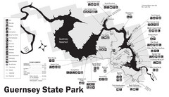
Guernsey State Park Map
The park has long been known as a haven for boating, camping, hiking and picnicking, but its real...
356 miles away
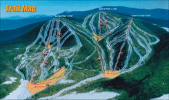
Sunrise Park Resort Ski Trail Map
Trail map from Sunrise Park Resort, which provides downhill, night, nordic, and terrain park skiing...
357 miles away
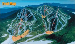
Sunrise Park Ski Trail Map
Official ski trail map of Sunrise Park ski area
357 miles away
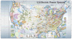
US Electric Power System Map
Map showing the US electric power system. from site: "shows power generation and transmission...
360 miles away
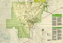
Guadalupe Mountains National Park Map
Map of Guadalupe Mountains National Park, year unknown. Scanned.
361 miles away
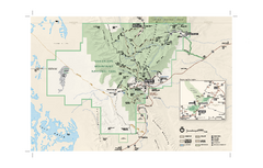
Guadalupe Mountains National Park Official Park...
Official NPS map of Guadalupe Mountains National Park in Texas. Guadalupe Mountains National Park...
363 miles away
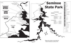
Seminoe State Park Map
Seminoe State Park offers excellent fishing, boating and wildlife-viewing opportunities.
365 miles away
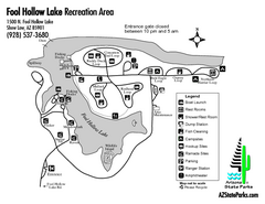
Fool Hollow Lake Recreation Area Map
Map of recreation area with detail of trails and recreation zones
366 miles away

18th Century United States Map
367 miles away
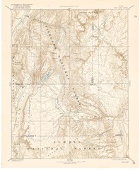
Topo Map of Capitol Reef Region (Fish Lake Quad...
This is one of four USGS maps done by the Powell survey and depicting the area around Capitol Reef...
368 miles away
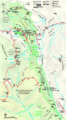
Capitol Reef National Park Official Map
Official NPS map of Capitol Reef National Park in Utah. Map shows all areas. The park and...
369 miles away
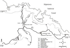
Tonto Creek in Tonto National Forest Map
Printable map for Tonto Creek area of Tonto National Forest with creek and amenenties shown on map.
370 miles away
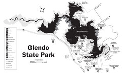
Glendo State Park Map
Glendo State Park is best known for its excellent boating opportunities, with plenty of areas for...
370 miles away
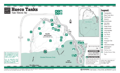
Hueco Tanks, Texas State Park Facility and Trail...
370 miles away
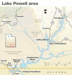
Lake Powell Area Map
Clear map marking the surrounding area of this pristine lake.
371 miles away
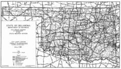
Oklahama Highway Map
Highway Map of Oklahoma State circa 1935. Includes all roads, towns, and detailed information on...
373 miles away

Disc Golf Courses Map
Disc Golf Courses in and near the contiguous United States as of 1/1/2011, according to Disc Golf...
373 miles away

Lake Powell Oblique Map
374 miles away
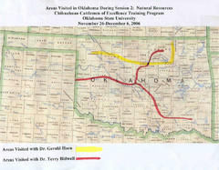
Oklahoma County Map
374 miles away
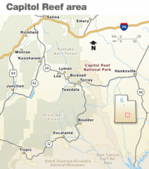
Capitol Reef National Park Map
Clear map marking major highways and cities.
374 miles away

Franklin Mountains, Texas State Park Facility and...
378 miles away
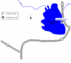
Huntington Lake State Park Map
Take a hike around this beautiful lake.
378 miles away
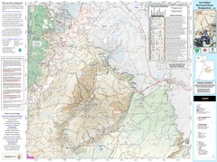
San Rafael, Utah Trail Map
Trails and main roads near Manti-LaSal National Forest and Castle Dale in Emery County, Utah
380 miles away
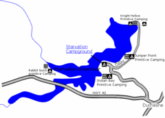
Starvation State Park Map
The sprawling waters of Starvation Reservoir offer great fishing and boating. Find a secluded...
382 miles away
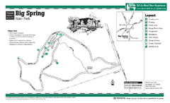
Big Spring, Texas State Park Map
382 miles away
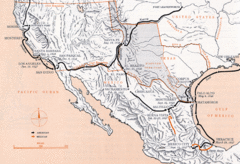
Mexican War Historical Map
383 miles away
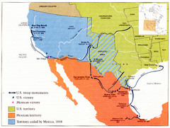
Mexican War Historical Map
383 miles away

