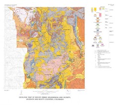
Mount Zirkel Wilderness and Vicinity Geologic Map
Geologic Map of Mount Zirkel Wilderness
275 miles away
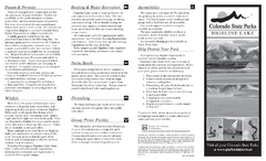
Highline Lake State Park Map
Map of park with detail of recreation areas
275 miles away
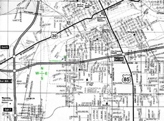
Cheyenne, Wyoming City Map
277 miles away
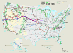
National Trails System Map
Map of all US National Scenic Trails and National Historic Trails. Shows all National Park System...
279 miles away
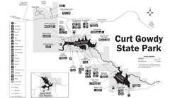
Curt Gowdy State Park Map
Curt Gowdy is a recreation area with three reservoirs. It's great for fishing, camping, water...
281 miles away
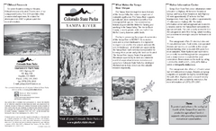
Yampa River State Park Map
Map of park with detail of recreation zones
281 miles away
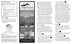
Steamboat Lake State Park Map
Map of park with detail of recreation zones
284 miles away
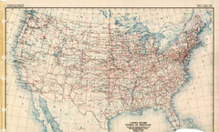
Highway Plan 1926 Map
285 miles away
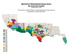
US African Honey Bee Map
Map of the US spread of Africanized honey bees by year, by county, from 1990 to 2007.
287 miles away
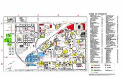
Texas Tech University Parking/ Visitor Map
Map showing all buildings, and detailed parking information at Texas Tech University.
289 miles away
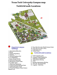
Texas Tech University Map
Campus Map of Texas Tech University. All buildings shown.
289 miles away
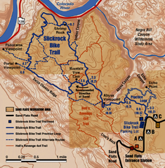
Slickrock Trail Map
Trail map of the famous Slickrock mountain biking trail in Moab, Utah. Trail distances shown. 10...
289 miles away
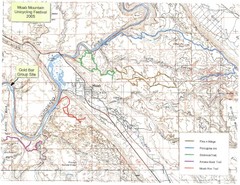
Moab Mountain Unicycling Festival Trail Map
Moab Area Topo Map with trails marked for festival
289 miles away
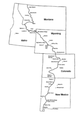
Continental Divide Trail Graphic Map
Guide to the Continental Divide Trail, with major cities and stopping points
290 miles away
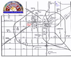
Lubbock City Map
City map of Lubbock, Texas
290 miles away
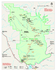
Arches National Park Official map
Official NPS park map of Arches National Park. Shows trails, roads, and all park facilities.
293 miles away
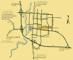
Laramie City Map
City map of Laramie, Wyoming with University of Wyoming highlighted.
294 miles away

Arches National Park Map
294 miles away
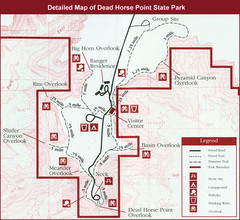
Dead Horse Point State Park Map
297 miles away
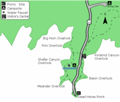
Dead Horse Point State Park Map
Stroll along the Rim Walk, towering 2,000 feet directly above the Colorado River. The mesa that is...
298 miles away
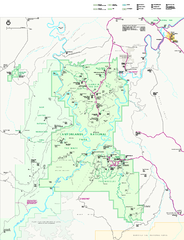
Canyonlands National Park Official Park Map
Official NPS map of Canyonlands National Park. Located in Utah. Map shows all areas but does not...
299 miles away
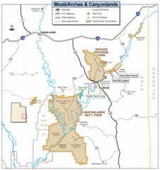
Canyonlands National Park Map
Clear map and key marking cities, rivers, highways and points of interest.
301 miles away
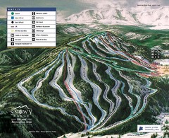
Snowy Range Ski Trail Map
Trail map from Snowy Range.
303 miles away
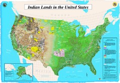
Indian Lands Map
Map of Indian Lands throughout the US
309 miles away
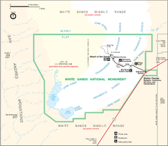
White Sands National Monument Map
317 miles away
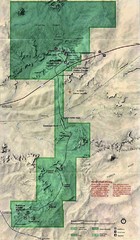
Petrified Forest National Park Map
Petrified Forest National Park Map with trails, vistiors centers and park area marked.
324 miles away
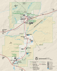
Petrified Forest National Park Official Park Map
Official NPS map of Petrified Forest National Park in Arizona. Open year round except Christmas...
325 miles away
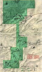
Petrified Forest Map
Map of the Petrified Forest, Painted Desert and Rainbow Forest. Shows all roads, tourist...
327 miles away
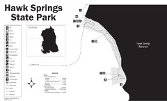
Hawk Springs State Park Map
Hawk Springs Recreation Area has activities for everyone to enjoy: boating, waterskiing, fishing...
328 miles away
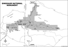
Dinosaur National Monument Map
331 miles away
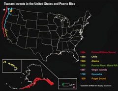
US Tsunami Events Map
Shows tsunami events in the US and Puerto Rico from 900 to 1964. Map not to scale. This map shows...
338 miles away

Utah Dinosaur Country Map
339 miles away
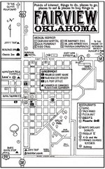
Fairview City Map
City map of Fairview with restaurants, government offices, medical services and hotels
344 miles away
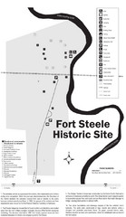
Fort Fred Steele State Historic Site Map
This frontier Army post has a fascinating history interlacing transportation with the military and...
345 miles away
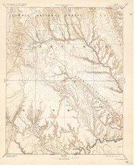
Topo Map of Escalante Quadrant, UT circa 1886
One of four USGS maps detailing the area around Capitol Reef National Park and Glen Canyon circa...
345 miles away
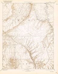
Topo Map of San Rafael Quadrant circa 1885
This is one of four USGS maps from the 1880's and 90's depicting the area around the...
345 miles away
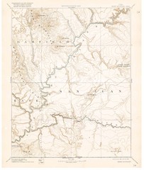
Henry Mtns Topo Map, circa 1892
One of a set of four maps circa 1890s by USGS depicting the area around the Henry Mtns and Capitol...
345 miles away
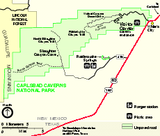
Carlsbad Caverns National Park Official Map
Official NPS map of Carlsbad Caverns National Park in New Mexico. Map shows all areas. Carlsbad...
346 miles away
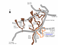
Goblin Valley State Park Map
The vast landscape of sandstone goblins may have visitors wondering if they're in Mars or Utah...
350 miles away
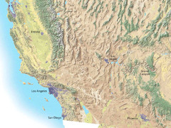
Southwest USA topo Map
350 miles away

