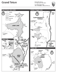
Grand Teton National Park Lakeshore Hiking Map
Shows scenic hikes around lakes such as Phelps, Jenny, Leigh and Taggart in Grand Teton National...
566 miles away
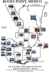
Rocky Point, New Mexico Restaurants Map
567 miles away
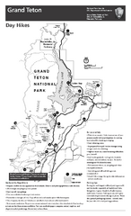
Grand Teton National Park Day Hikes Map
Shows suggested hikes and safety recommendations for day hikes in Grand Teton National Park, WY...
568 miles away
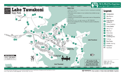
Lake Tawakoni, Texas State Park Facility and...
568 miles away
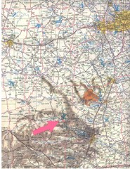
Texas Road Map
568 miles away
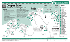
Cooper Lake "South Sulphur Unit", Texas...
569 miles away

Grand Targhee Ski Trail Map
Official ski trail map of Grand Targhee ski area from the 2007-2008 season.
570 miles away
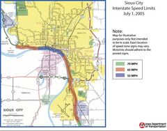
Sioux City, Iowa City Map
570 miles away

Stone State Park Map
Map of trails and park facilities in Stone State Park.
570 miles away
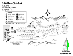
Cattail Cove State Park Map
Map of park with detail of trails and recreation zones
571 miles away
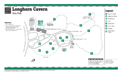
Longhorn Cavern, Texas State Park Facility and...
571 miles away
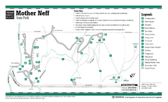
Mother Neff, Texas State Park Facility and Trail...
571 miles away

Texas State Technical College Waco Map
Campus Map
572 miles away
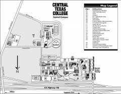
Central Texas College Map
Central Texas College Campus Map. Shows all areas.
572 miles away
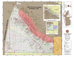
Barry M. Goldwater Range Topographical Map
Map showing detailed information about the Barry M. Goldwater Range, Sauceda and Sand Tank...
573 miles away
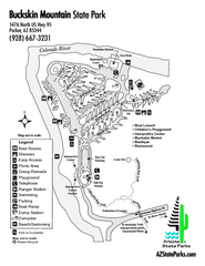
Buckskin Mountain State Park Map
Map of park with detail of trails and recreation zones
573 miles away
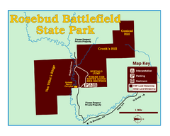
Rosebud Battlefield State Park Map
This National Historic Landmark on the rolling prairie of eastern Montana preserves the site of the...
574 miles away
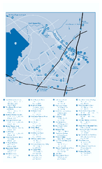
Attractions in Waco, Texas Map
Tourist map of Waco, Texas. Museums, parks, sports facilities and other attractions are shown.
574 miles away
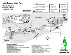
Lake Havasu State Park Map
Map of park with detail of trails and recreation zones
574 miles away
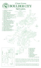
Boulder City Map
Map of Boulder City, Nevada. Shows points of interest and parks.
576 miles away
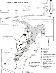
Viking Lake State Park Map
Map of trails, lake depths, fishing spots and park facilities in Viking Lake State Park.
576 miles away
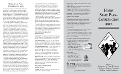
Hobbs State Park Map
Map of Hobbs State Park Conservation Area showing trail heads, roads, places of interests and...
578 miles away
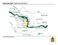
Devil's Den State Park Trail Map
Several trails marked on map for Devil's Den State Park.
582 miles away
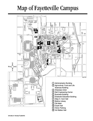
University of Arkansas Map
Campus Map of the University of Arkansas. All buildings shown.
583 miles away
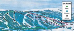
Kelly Canyon Ski Area Ski Trail Map
Trail map from Kelly Canyon Ski Area, which provides downhill, night, and terrain park skiing. It...
583 miles away
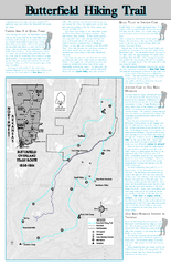
Butterfield Hiking Trail - Devil's Den State...
Butterfield Hiking Trail in Devil's Den State Park detail trail and special points of interest.
584 miles away
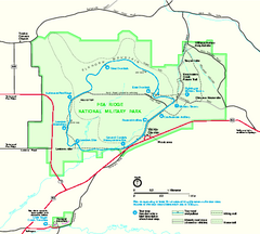
Pea Ridge National Military Park Official Map
Official NPS map of Pea Ridge National Military Park in Arkansas. The park is open year round 8-5...
585 miles away
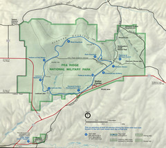
Pea Ridge National Military Park Map
586 miles away
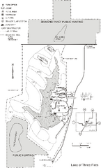
Lake of Three Fires State Park Map
Map of trails, hunting areas and lake access in Lake of Three Fires State Park.
586 miles away
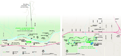
Lyndon B. Johnson National Historical Park...
Official NPS map of Lyndon B. Johnson National Historical Park in Texas. The park is open...
586 miles away
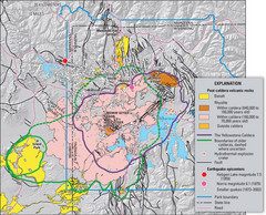
Yellowstone Geologic Map
Guide to geology, volcanic and earthquake activity and caldera outlines in Yellowstone National Park
586 miles away
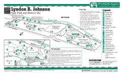
Lyndon B. Johnson State Park Facility and Trail...
587 miles away
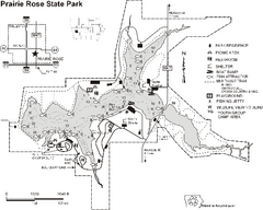
Prairie Rose State Park Map
Map of trails, lake depths, fishing spots and park facilities in Prairie Rose State Park.
587 miles away
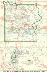
1929 Yellowstone and Grand Teton National Parks...
Map of older smaller boundaries of both national parks
589 miles away
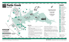
Purtis Creek, Texas State Park Facility and Trail...
589 miles away
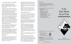
Lake Fort Smith State Park Map
Map of Lake Fort Smith State Park showing visitor center and park amenities.
589 miles away
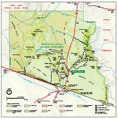
Organ Pipe Cactus National Monument Map
Official NPS map of Organ Pipe Cactus National Monument in Arizona on the Mexican border. Shows...
589 miles away
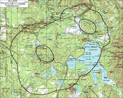
Yellowstone Lake Topographic Map
Topographic guide to Yellowstone Lake in Yellowstone National Park
589 miles away
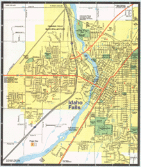
Idaho Falls, Idaho City Map
590 miles away

