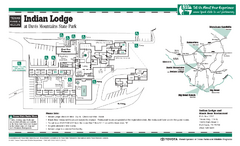
Indian Lodge, Texas State Park Location and Room...
383 miles away
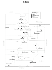
Utah Airports Map
385 miles away
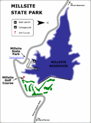
Millsite State Park Map
Camp in the quiet campground, and boat and fish on the blue waters of Millsite Reservoir. Play 18...
385 miles away
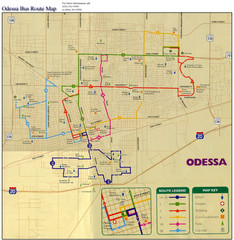
Odessa Bus Route Map
City of Odessa, Texas Bus Map with street level detail.
386 miles away
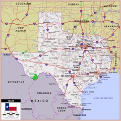
US Texas Roads Map
386 miles away
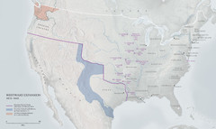
United States, Westward Expansion Map
387 miles away
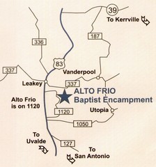
Alto Frio, Texas Tourist Map
387 miles away

El Paso, Texas City Map
387 miles away
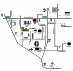
Area Map of El Paso
Area Map of El Paso. Illustrates all buildings, streets and Visitor Parking in the city.
387 miles away
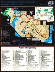
The University of Texas at El Paso Map
The University of Texas at El Paso. All buildings shown.
388 miles away
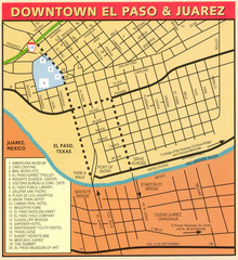
Downtown El Paso Map
Downtown tourist street map of El Paso and nearby Juarez
388 miles away
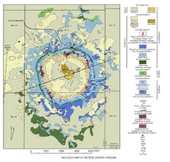
Meteor Crater Geologic Map
389 miles away
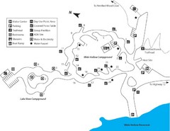
Escalante Petrified Forest State Park Map
Escalante Petrified Forest State Park is located in beautiful southern Utah, just 44 miles east of...
390 miles away
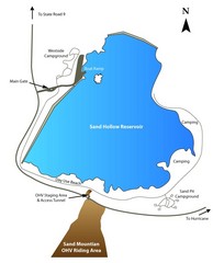
Sand Hollow State Park Map
With its warm, blue waters and red sandstone landscape, Utah's newest state park is also one...
390 miles away
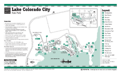
Lake Colorado City, Texas State Park Facility...
391 miles away
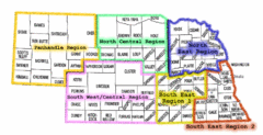
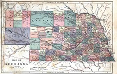
Nebraska Regions Map
391 miles away
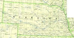
Nebraska Counties and Rivers Map
391 miles away
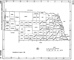
Nebraska Counties Map
391 miles away
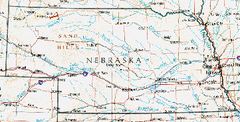
Nebraska Atlas Reference Map
391 miles away
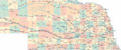
Nebraska Road Map
391 miles away
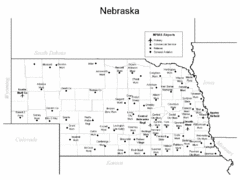
Nebraska Airports Map
391 miles away
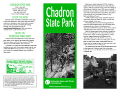
Chadron State Park Map
The majestic beauty of the Pine Ridge forms the backdrop for this great, get away from it all state...
392 miles away
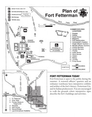
Fort Fetterman State Historic Site Map
Fort Fetterman, located approximately 11 miles northwest of Douglas. The fort was established as a...
392 miles away
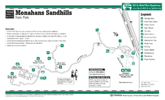
Monahans-Sandhills, Texas State Park Facility and...
393 miles away
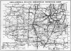
Oklahoma State Highway Map
Highway Map of Oklahoma State circa 1927. Includes all main roads and highways up to state...
396 miles away
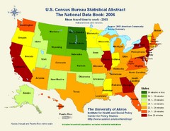
United States Travel Time to Work Statistical Map
396 miles away
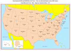
Electoral Votes by State Map
Electoral vote distribution by state
398 miles away
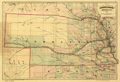
1874 Nebraska Railroad Map
Road Map and Guide to Railroads in Nebraska, used for settlers
399 miles away
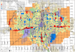
Wichita Functional Land Use Guide Map
Development map for future land use by 2030
399 miles away
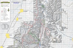
Utah Arapeen OHV Trail System- North Map
The Utah Arapeen OHV Trail System located in near the Towns of Fairview, Ephraim, and Mant, Utah.
399 miles away
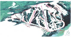
Hogadon Ski Area Trail Map
Ski trail map of Hogadon ski area, located on Casper Mountain
399 miles away
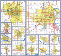
Nebraska City Road Maps Map
Shows roads/highways in 13 Nebraska cities.
400 miles away
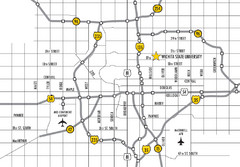
Wichita, Kansas City Map
401 miles away
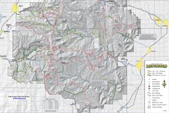
Utha Arapeen OHV Trail System- South Map
Utah Arapeen OHV Trail System map. Located near the towns of Fairview, Ephraim, and Manti, Utah.
401 miles away
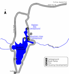
Scofield State Park Map
Camp, boat, and fish at this summer and winter recreation destination situated high in the Manti...
401 miles away
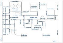
Goessel City Map
City Map of Goessel, Kansas
403 miles away
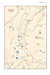
Kings Peak Trail Map
Trail map of route to Kings Peak, highest mountain in Utah at 13,528 ft. Route is around 30 miles...
404 miles away
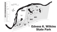
Edness Kimball Wilkins State Park Map
Edness K. Wilkins State Park is a serene day-use park located 6 miles east of Casper off Interstate...
405 miles away

