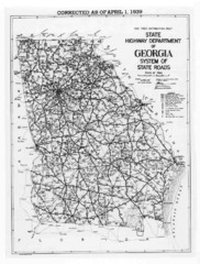
Georgia 1939 Road Map
State Road Map of Georgia in 1939
189 miles away
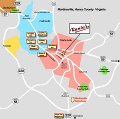
Martinsville Restaurant and Hotel Map
190 miles away
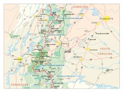
Appalachian Trail in North Carolina Map
Appalachian Trail in North Carolina. Shows major summits, National Forests, and hiking clubs.
190 miles away
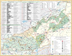
Pisgah National Forest and Nantahala National...
Pisgah National Forest and Nantahala National Forest recreation map. Contains list of all...
191 miles away
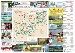
Ashe County Attractions Map
Ashe County Attractions
191 miles away

Ashe County Restaurant Map
Ashe County Restaurant Map
191 miles away

Athens Airport Lines Map
191 miles away

Lake Oconee Map
191 miles away
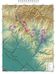
Alexander Mountain Estate Map
Vineyards in Alexander, North Carolina
192 miles away
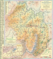
Yancey County Chamber of Commerce Map
Map of Yancey County, North Carolina. Shows all public roads, communities, hiking trails and picnic...
193 miles away
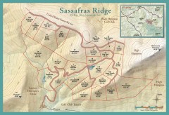
Sassafras Ridge Shaded Relief Map
This map is a shaded relief property map with survey boundaries and property roads. The map...
193 miles away
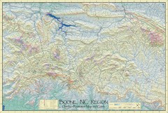
Boone, NC Outdoor Recreation Map
Guide to Boone, NC region
194 miles away
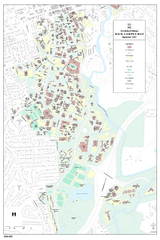
University of Georgia Map
Campus map of the University of Georgia. All buildings shown.
194 miles away
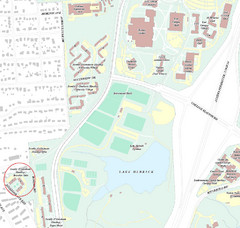
Brandon Town Map
Town of Brandon and University of Georgia Campus
194 miles away

Athens, Georgia City Map
194 miles away

Sassafras Ridge Panorama Map
Panoramic view from Sassafras Ridge near Cashiers, North Carolina.
194 miles away

University of Georgia and Surrounding Area Map
194 miles away
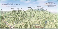
Panoramic Map of the Highlands of Roan (from TN)
Panoramic map of the Highlands of Roan as seen from Tennessee.
194 miles away

Roan Mountain Panorama Map
Panoramic Map of the View from the Baud Family Cabin of Roan Mountain, TN. The view overlooks...
194 miles away
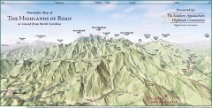
Panoramic Map of the Highlands of Roan (from NC)
Panoramic Map of the Roan Mountain Highlands as seen from North Carolina.
195 miles away
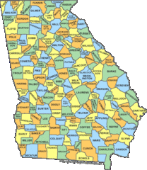
Georgia Counties Map
196 miles away
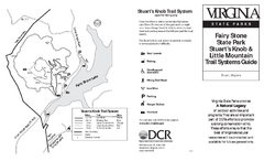
Fairy Stone State Park Map
Clearly marked state park map with trail system.
196 miles away
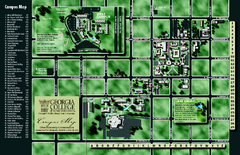
Georgia College Campus Map
Georgia College Campus Map. Shows all areas.
197 miles away
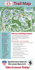
Wolf Laurel Ski Resort Ski Trail Map
Trail map from Wolf Laurel Ski Resort.
199 miles away
New River Trail State Park Map
Clear and detailed state park map.
199 miles away
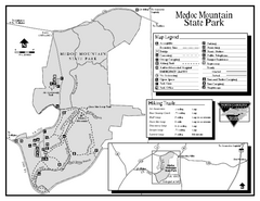
Medoc Mountain State Park map
Detailed recreation map for Medoc Mountain State Park in North Carolina.
200 miles away
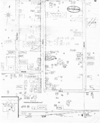
Pipestand Map
Historical map with reference to pipestand for the fire department
200 miles away

Waynesville and Lake Junaluska Panoramic Map
Panoramic Map taking in Waynesville, Lake Junaluska and the Richland Creek watershed in Haywood...
200 miles away
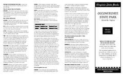
Occoneechee State Park Map
This map clearly marks rest stops, trails, campgrounds and more.
202 miles away
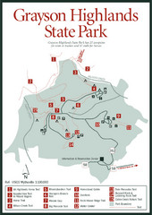
Grayson Highlands State Park Map
203 miles away
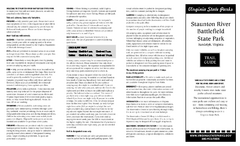
Staunton River Battlefield State Park Map
Clearly labeled state park map.
203 miles away
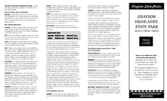
Grayson Highlands State Park Map
Clear and descriptive map of this beautiful state park.
204 miles away
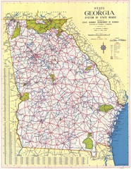
Georgia Road Map
Road map of state of Georgia, 1952
204 miles away
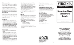
Staunton River State Park Map
Clear map marking trails, rest stops, facilities and more.
204 miles away
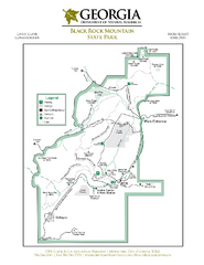
Black Rock Mountain State Park Map
Map of park with detail of trails and recreation zones
206 miles away
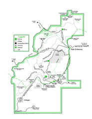
Black Rock State Park map
Detailed recreation map for Black Rock State Park in Georgia
207 miles away
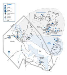
Hard Labor Creek State Park Map
Map of park with detail of trails and recreation zones
208 miles away
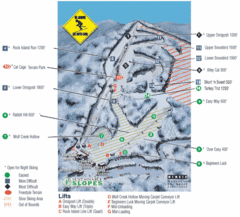
Cataloochee Ski Area Ski Trail Map
Trail map from Cataloochee Ski Area.
208 miles away
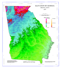
Map of Georgia Elevations
Digital elevation map of Georgia, U.S.
209 miles away
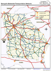
Georgia Transportation Map
210 miles away

