
Panoramic View of the Reserve Map
Panoramic map of the view northeast from 'Gladiola Ridge' in Brevard, North Carolina.
180 miles away
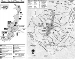
Mount Mitchell State Park map
Official map of Mt. Mitchell State Park in North Carolina. Park contains the 6,684 ft summit of...
180 miles away
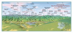
Northwest Reserve Panorama Map
Panoramic Map of the view Northwest from the Reserve in Brevard, North Carolina.
180 miles away
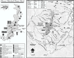
Mount Mitchell State Park map
Detailed recreational map for Mt. Mitchell State Park in North Carolina
180 miles away
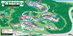
Tweetsie Railroad Park Map
Tweetsie Railroad is a unique attraction that allows children and families to explore their...
180 miles away
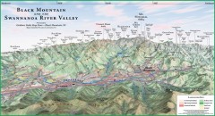
Black Mountain Panorama map
Panoramic map of the Black Mountain, NC and Swannanoa River Valley. Shows all mountains with...
180 miles away
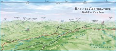
Panoramic View of Roan to Grandfather Map
This panorama takes in the vista from Roan to Grandfather mountain - overlooking the upper Linville...
180 miles away
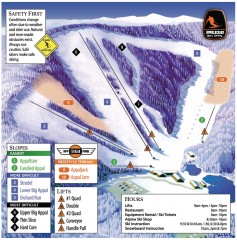
Appalachian Ski Trail Map
Official ski trail map of Appalachian ski area
180 miles away
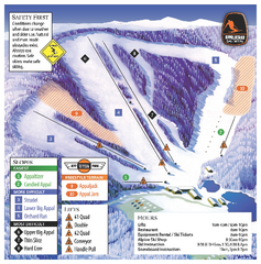
Appalachian Ski Mtn. Ski Trail Map
Trail map from Appalachian Ski Mtn..
181 miles away
Blue Ridge Parkway Official Map
Official NPS map of the Blue Ridge Parkway. The Parkway meanders 469 miles through Virginia and...
181 miles away
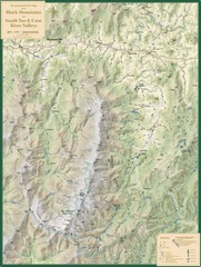
Black Mountains and South Toe and Cane River...
Guide to recreation around Mt. Mitchell State Park and Black Mountains
182 miles away
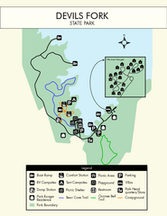
Devils Fork State Park Map
Clearly marked state park map.
182 miles away

Watauga County Attractions Map
Watauga County Tourist Attractions
183 miles away

Watauga County Restaurants Map
Watuaga County Restaurant Guide
183 miles away
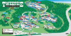
Tweetsie Tourist Map
183 miles away
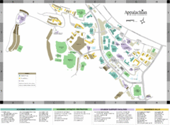
Appalachian State University Campus Map
Campus map of Appalachian State University in Boone, NC
183 miles away
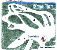
Hawksnest Golf & Ski Resort Ski Trail Map
Trail map from Hawksnest Golf & Ski Resort.
184 miles away
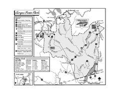
Gorges State Park map
Detailed recreation map for Gorges State Park in North Carolina
184 miles away
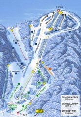
Sugar Mountain Ski Trail Map
Official ski trail map of Sugar Mountain ski area
184 miles away
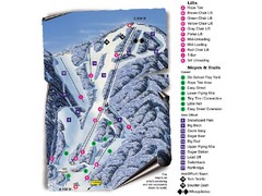
Sugar Mountain Resort Ski Trail Map
Trail map from Sugar Mountain Resort.
184 miles away
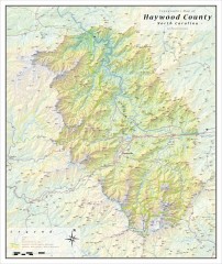
Haywood County Topographical Map
This topographic wall map of Haywood County emphasizes the rugged mountain terrain and natural...
184 miles away
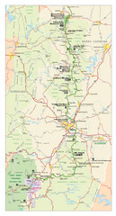
Asheville, North Carolina Parkway Map
185 miles away
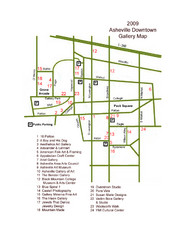
Downtown Asheville Galleria Map
Numbered shopping map of Downtown Asheville.
185 miles away
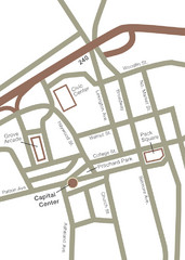
Downtown Asheville Map
Located in the heart of Asheville’s professional, municipal and cultural activity, Capital...
185 miles away
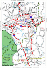
Asheville, NC Tourist Map
185 miles away
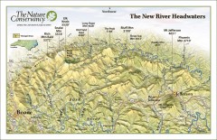
New River Headwaters Panorama Map
This panoramic map of the New River Headwaters area in North Carolina highlights TNC conservation...
186 miles away
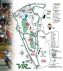
Virginia International Raceway Guide Map
VIR Guide Map
186 miles away
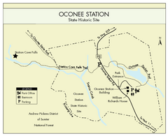
Oconee Station Map
Clear and simple map of Oconee State Park's station.
186 miles away

New Bern Map
Downtown Map of New Bern.
186 miles away
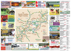
Avery County Attractions Map
Avery County Attractions Map
186 miles away

Avery County Restaurants Map
Avery County Tourist Map
186 miles away

Asheville School Campus map
Map of the 300-acre campus of Asheville School, a private boarding school for grades 9-12 with...
187 miles away

Lower Neuse River Conservation Initiative Map
Map and poster showing conservation lands along the lower Neuse river in coastal North Carolina.
187 miles away
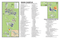
East Carolina University Map
East Carolina University Campus Map. All buildings shown.
187 miles away
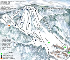
Beech Mountain Ski Resort Ski Trail Map
Trail map from Beech Mountain Ski Resort.
188 miles away
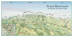
Black Mountains Panorama Map
This map portrays a sweeping vista of the Black Mountains and South Toe River Valley - extending...
188 miles away
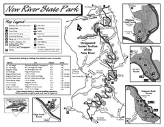
New River State Park map
Detailed recreation map for the New River State Park in North Carolina
189 miles away
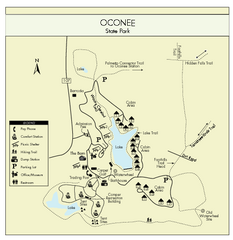
Oconee State Park Map
Beautiful state park clearly mapped with legend.
189 miles away
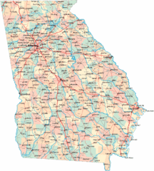
Georgia Road Map
Detailed, colorful road map of the state of Georgia.
189 miles away

Cherry Point Conservation Initiative Map
Map showing conservation lands at two US military facilities in coastal North Carolina.
189 miles away

