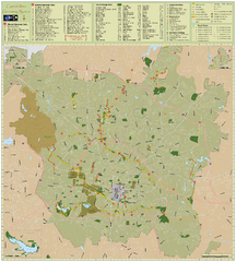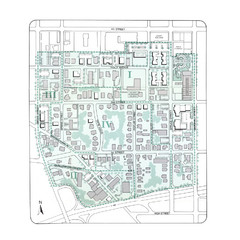
Downtown Wiston-Salem Map
The Holly Avenue neighborhood located on the southwestern edge of downtown Winston-Salem has...
149 miles away
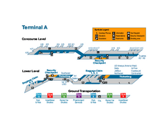
Raleigh-Durham International Airport Map
Official Map of Raleigh-Durham International Airport. Shows Terminal A.
149 miles away
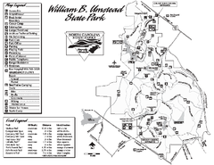
William B. Umstead State Park map
Detailed recreational map for William B. Umstead State Park
149 miles away
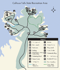
Calhoun Falls State Park Map
Clear map and detailed legend help make this map easy to read and follow.
150 miles away
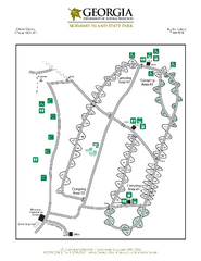
Skidaway Island State Park Map
Map of park with detail of trails and recreation zones
151 miles away
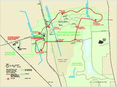
Guilford Courthouse National Military Park...
Official NPS map of Guilford Courthouse National Military Park in North Carolina. Open All Year 8...
151 miles away
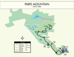
Paris Mountain State Park Map
Clearly labeled map of this beautiful state park.
151 miles away
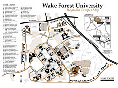
Wake Forest University Map
Campus map of Reynolda Campus
152 miles away
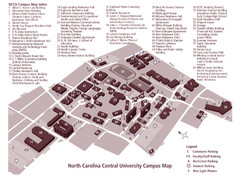
North Carolina Central University Campus Map
Campus map of North Carolina Central University (NCCU)
153 miles away
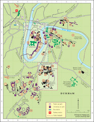
Durham Tourist Map
153 miles away
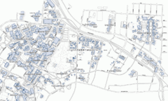
Duke University Map
154 miles away
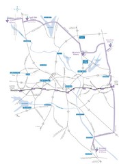
Haw River Wine Trail Map
156 miles away
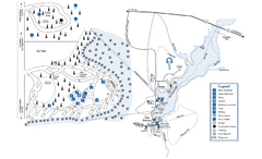
George L. Smith State Park Map
Map of park with detail of trails and recreation zones
156 miles away
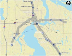
Jacksonville Bus Route Map
Bus routes in Jacksonville.
157 miles away
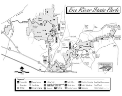
Eno River State Park map
Detailed recreation map for Eno River State Park in North Carolina
157 miles away
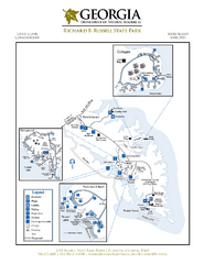
Richard B. Russell State Park Map
Map of park with detail of trails and recreation zones
159 miles away

Fort McAllister Historic Park Map
Map of park with detail of trails and recreation zones
159 miles away
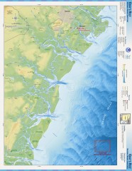
Gray's Reef National Marine Sanctuary Map
Gray's Reef National Marine Sanctuary , designated in January 1981, is one of the largest near...
160 miles away
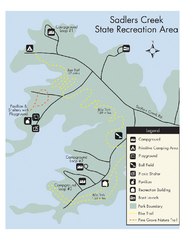
Sadlers Creek State Park Map
This simple map gives you an easy to follow layout of this amazing state park.
165 miles away
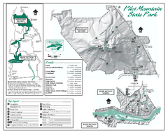
Pilot Mountain State Park map
Detailed recreation map for Pilot Mountain State Park in North Carolina
166 miles away
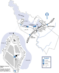
Hamburg State Park Map
Map of park with detail of trails and recreation zones
169 miles away
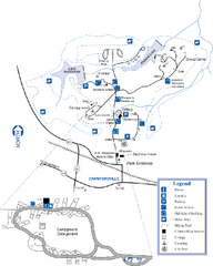
A. H. Stephens Historic Park Map
Map of park with detail of trails and recreation zones
169 miles away
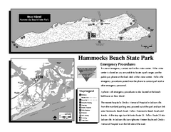
Hammocks Beach State Park Map
Detailed recreation map for Hammocks Beach State Park in North Carolina
169 miles away
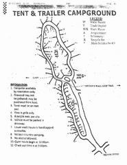
Hanging Rock, campground site map
Hanging Rock State park, map of family campground sites
169 miles away
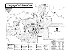
Hanging Rock State Park map
Detailed recreation map for Hanging Rock State Park in North Carolina
169 miles away
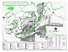
Hanging Rock state park Map
Interior color map of Hanging Rock State Park.
170 miles away
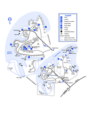
Hart State Park Map
Map of park with detail of trails and recreation zones
170 miles away
Clemson University Map
170 miles away
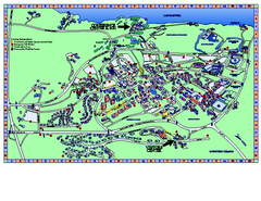
Clemson University Map
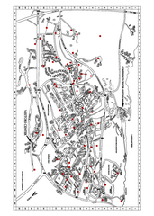
Clemson University Campus Map. All buildings shown.
170 miles away
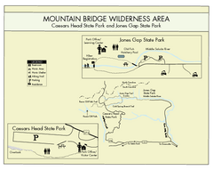
Mountain Bridge Wilderness Area Map
Map and legend marking bathrooms, picnic sites, trails and more.
171 miles away
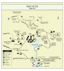
Table Rock State Park MAP
Clear and simple state park map and legend.
171 miles away
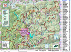
DuPont State Forest Trail map
Trail map of DuPont State Forest. Shows all trails with mileages. From dupontforest.com: "...
172 miles away
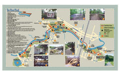
Tar Riverm Trail Map
173 miles away
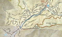
Montreat trail map
Detailed guide to the trail system surrounding the village of Montreat, NC.
176 miles away

The Reserve Shaded Relief Map
This map is a shaded relief property map of The Reserve in North Carolina with survey boundaries...
176 miles away

Map of Southern Blue Ridge Escarpment
Map of the Nature Conservancy's Southern Blue Ridge Escarpment project area showing protected...
178 miles away
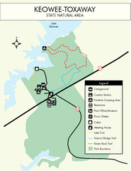
Keowee Toxaway State Park Map
Clear and detailed map of this wonderful state park.
179 miles away
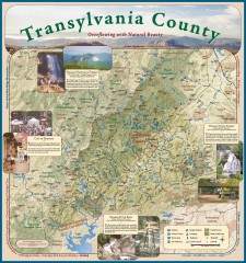
Transylvania County Tourism Development Map
Transylvania County tourist map, showing all points of interest including hiking and picnic areas.
179 miles away
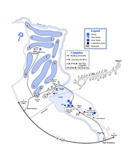
Gordonia-Alatamaha State Park Map
Map of park with detail of trails and recreation zones
179 miles away

