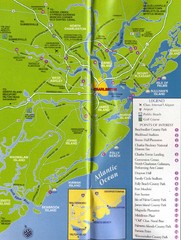
Charleston, South Carolina Tourist Map
81 miles away
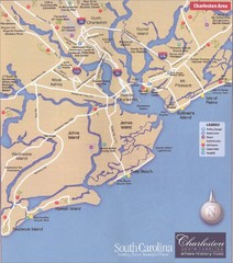
Charleston, South Carolina Tourist Map
81 miles away
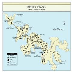
Dreher Island State Park Map
Clearly labeled state park map.
81 miles away
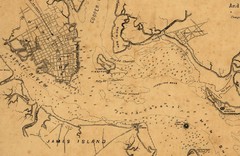
Plan of Charleston Harbor (Civil War) Map
82 miles away

North Carolina Road Map
Road map of North Carolina
85 miles away
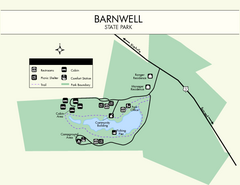
Barnwell State Park Map
Simple map of this state park.
87 miles away
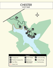
Chester State Park Map
Simple and clear state park map.
87 miles away
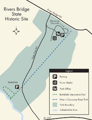
Rivers Bridge State Park Map
Nice and clear map of this history state park.
89 miles away
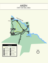
Aiken State Park Map
Small and simple state park map.
90 miles away
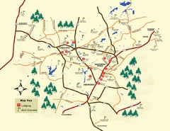
Pinehurst Golf Map
91 miles away
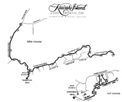
Kiawah Island Triathlon Map
Map of Kiawah Island Triathlon course, 2002
92 miles away
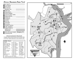
Morrow Mountain State Park map
Detailed recreational map for Morrow Mountain State Park in North Carolina
98 miles away
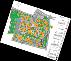
Queen's College Map
98 miles away

Charlotte, North Carolina City Map
101 miles away
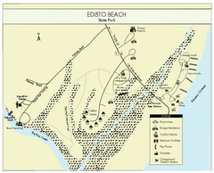
Edisto Beach State Park Map
Clearly labeled map of this beautiful state park.
101 miles away
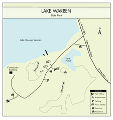
Lake Warren State Park Map
Clearly marked state park map.
103 miles away
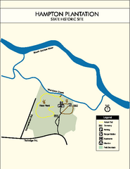
Hampton Plantation State Park Map
Clear and easy to read map.
103 miles away
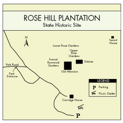
Rose Hill Plantation Map
Clear and simple state park map.
106 miles away
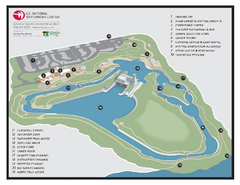
US National Whitewater Center Map
Facility map of the US National Whitewater Center in Charlotte, North Carolina
108 miles away
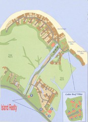
Harbor Island Real Estate Map
110 miles away
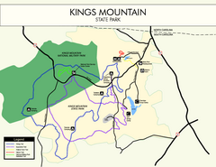
Kings Mountain State Park Map
Clearly marked state park map.
112 miles away
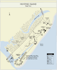
Hunting Island State Park Map
Shows facilities of Hunting Island State Park, South Carolina. Rated the #8 beach in America by...
113 miles away
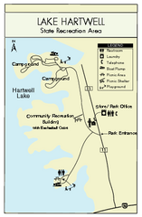
Lake Hartwell State Park Map
Clear state park map.
113 miles away
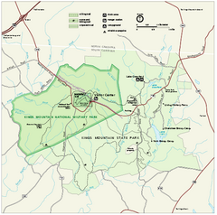
Kings Mountain National Military Park Official Map
Official NPS map of Kings Mountain National Military Park in South Carolina. Open Daily 9:00 a.m...
113 miles away
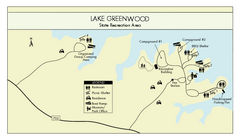
Lake Greenwood State Park Map
Clearly marked state park map on a beautiful waterfront.
114 miles away
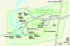
Monocacy National Battlefield Official Map
Official NPS map of Moores Creek National Battlefield in North Carolina. Operating Hours &...
114 miles away
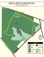
Redcliffe Plantation State Park Map
Clear map of this wonderful state park with a beautiful natural setting.
114 miles away
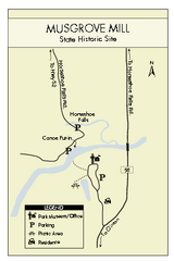
Musgrove Mill State Park Map
Clearly marked state park map.
115 miles away
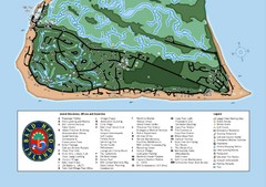
Bald Head Island Tourist Map
115 miles away
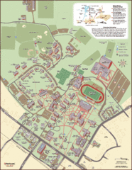
Davidson College Campus Map
Detailed map of Davidson College's campus.
118 miles away
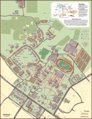
Davidson College Campus Map
Clear map of Davidson College.
118 miles away
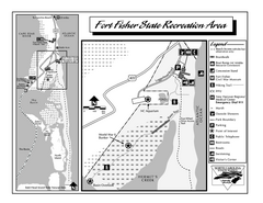
Fort Fisher State Recreation Area map
Detailed recreation area for Fort Fisher State Recreation Area in North Carolina
118 miles away
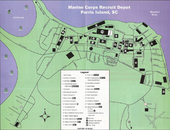
Parris Island Marine Corps Recruit Depot Map
Map of the Parris Island Marine Corps Recruit Depot near Beaufort, South Carolina. Shows...
118 miles away
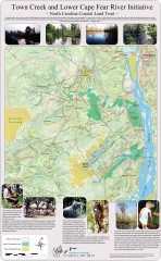
Town Creek and Lower Cape Fear river initiative...
This map shows protected and priority conservation areas of the North Carolina Coastal Land Trust...
119 miles away
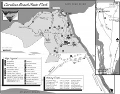
Caroline Beach State Park Map
Detailed recreation map for Caroline Beach State Park in North Carolina
119 miles away
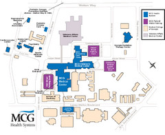
MCG Health System--Medical College of Georgia...
Color-coded map of all buildings on the Medical College of Georgia associated with the MCG Health...
120 miles away
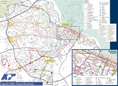
Augusta Public Transit Routes Map
Transit Route Map of the town of Augusta. Includes all streets, some important buildings, and a...
120 miles away
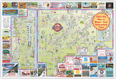
Wilmington, North Carolina City Map
120 miles away
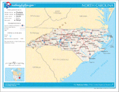
North Carolina Road Map
120 miles away
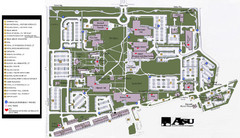
Augusta State University Map
Campus map
121 miles away

