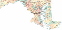
Lake Tallavana Parcel Map
Lake Tallavana Parcel Map
349 miles away
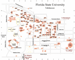
Florida State University Map
350 miles away
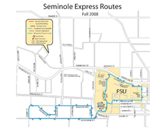
Seminole Express Bus Service Map
Bus route to Florida State University.
350 miles away
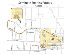
Florida State University Seminole Express Bus Map
350 miles away
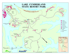
Lake Cumberland State Resort Park Map
Map of trails and facilities for Lake Cumberland State Resort Park.
351 miles away
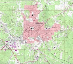
Alexander City Map
Topography city map of Alexander City, Alabama
351 miles away
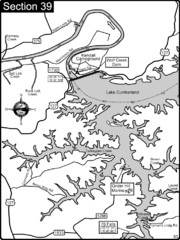
Lake Cumberland-Cumberland River Map
Lake Cumberland is formed by a dam on the Cumberland River in Section 39 of the Cumberland River...
351 miles away
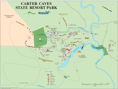
Carter Caves State Resort Park Map
Map of trails and facilities of Carter Caves State Resort Park.
352 miles away
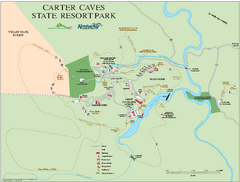
Carter Caves State Resort Park map
Detailed recreation map for Carter Caves State Park in Kentucky
352 miles away
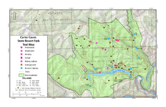
Carter Caves State Resort Park Topographic Trails...
Topographic map of the trails of Carter Caves State Resort Park.
352 miles away
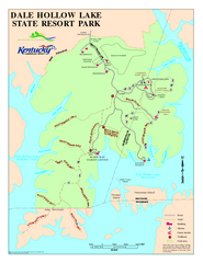
Dale Hollow Lake State Park Map
Map of trails and facilities of Dale Hollow Lake State Park.
353 miles away
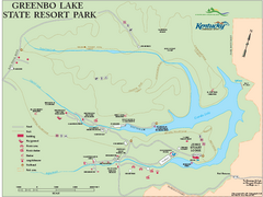
Greenbo Lake State Resort Park map
Detailed recreation map for Greenbo Lake State resort park in Kentucky
353 miles away
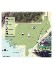
Econfina River State Park Map
Map of park with detail of trails and recreation zones
353 miles away
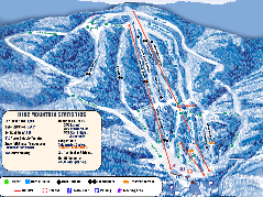
Timberline Ski Resort Ski Trail Map
Trail map from Timberline Ski Resort.
353 miles away
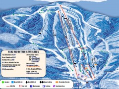
Timberline Ski Trail Map
Official ski trail map of Timberline ski area in West Virginia
353 miles away

Guntersville Lake Map
354 miles away
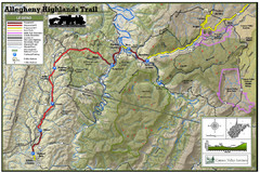
Trailmap72dpi Big Map
Detailed map of Allegheny Highland Trails and surrounding locations.
355 miles away
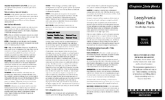
Leesylvania State Park Map
Clear map of this small state park.
355 miles away
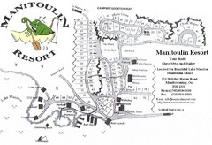
Manitoulin Resort Map
357 miles away
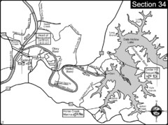
Celina, TN Dale Hollow Lake-Cumberland River Map
Celina Tennessee is the location for the head of navigation for the Cumberland River at the fork of...
358 miles away
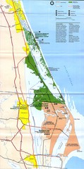
Canaveral National Seashore Map
359 miles away
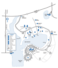
Seminole State Park Map
Map of park with detail of trails and recreation zones
359 miles away
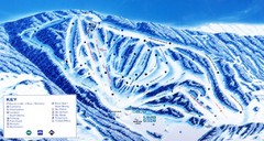
Canaan Valley Resort Ski Trail Map
Trail map from Canaan Valley Resort.
359 miles away
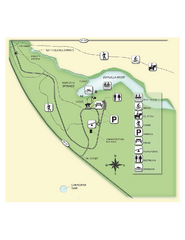
Edward Ball Wakulla Springs State Park Map
Map of park with detail of trails and recreation zones
360 miles away
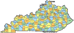
Kentucky Counties Map
360 miles away
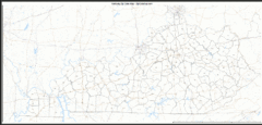
Kentucky Zip Code Map
Check out this Zip code map and every other state and county zip code map zipcodeguy.com.
360 miles away
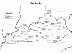
Kentucky Airports Map
360 miles away
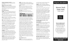
Mason Neck State Park Map
Descriptive map detailing trails, rest stops, and more.
360 miles away
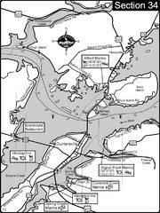
Guntersville, AL Tennessee River/Lake...
For boating navigational information and river road travel along the Tennessee River. This section...
361 miles away
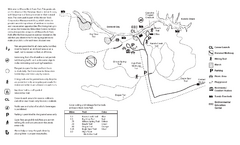
Mason Neck State Park Map
Trail map of Mason Neck State Park near Lornton, Virginia. Shows approx. 3 miles of hiking trails...
361 miles away
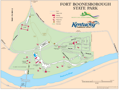
Fort Boonesborough State Park Map
Map of trails, historical sites and facilities at Fort Boonesborough State Park.
362 miles away
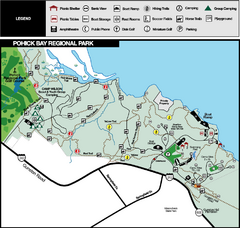
Pohick Bay Regional Park Map
Park map of Pohick Bay Regional Park near Lorton, VA on the Potomac River. Shows trails and...
362 miles away
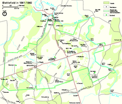
Manassas National Battlefield Park Official Map
Official NPS map of Manassas National Battlefield Park in Virginia.
363 miles away
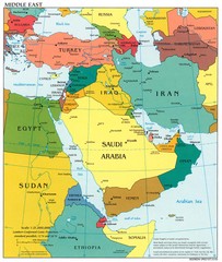
Middle East Political Map
363 miles away
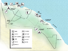
Three Rivers State Park Map
Map of park with detail of recreation zones
364 miles away
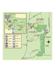
Rainbow Springs State Park Map
Map of park with detail of recreation zones
365 miles away
Sky Meadows State Park Map
Clearly marked state park map.
366 miles away
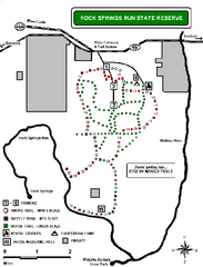
Rock Springs Run State Reserve Trail Map
Map of various trails throughout reserve
367 miles away
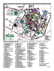
George Mason University Map
369 miles away

