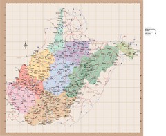
West Virginia Road Map
330 miles away

Chesapeake Water Table Elevation Map
Water Resource Protection data for Chesapeake Bay
330 miles away
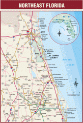
Northeast Florida Road map
A complete road map of the Northeast section of the state of Florida.
331 miles away
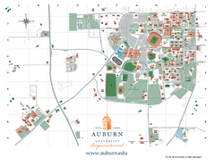
Auburn University Map
Campus Map of Auburn University. All areas shown.
331 miles away
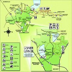
Paynes Prairie State Preserve Map
Map of preserve with detail of trails and recreation zones
332 miles away
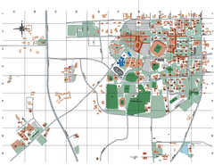
Auburn University Map
332 miles away
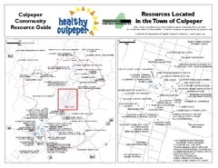
Culpeper, Virginia City Map
Locations and resources in Culpeper
332 miles away
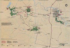
Fredricksburg National Parks Map
National parks in Fredricksburg.
332 miles away
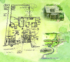
Dudley Farm Historic State Park Map
Map of park with detail of historical monuments
333 miles away
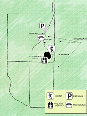
Letchworth-Love Mounds Map
Map of park with detail of trails and recreation zones
333 miles away
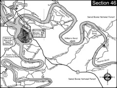
Burnside, KY-Cumberland River Map
Burnside, Kentucky is located at the fork of the Cumberland River and the South Fork. This is...
333 miles away
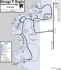
George T. Bagby State Park Map
Map of park with detail of trails and recreation zones
334 miles away
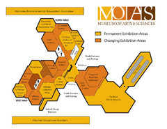
MOAS Museum Map
335 miles away
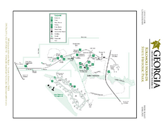
Kolomoki Mounds State Park Map
Map of park with detail of trails and recreation zones
335 miles away
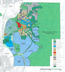
Mcclellan Land Use Map
"When the last note of taps played and the garrison flag was lowered at Fort McClellan in...
335 miles away
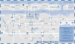
Dayton Beach Map
Map of greater Dayton Beach area
335 miles away
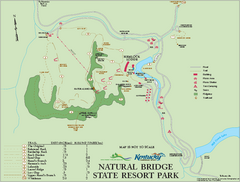
Natural Bridge State Resort Park map
Recreation map for Natural Bridge State Park in Kentucky
336 miles away
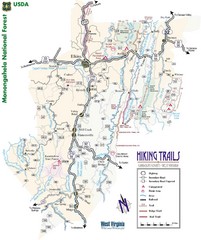
Randolph County Trail Map
Hiking trails map
336 miles away
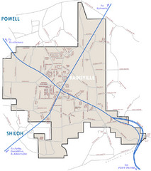
Rainsville Street Map
Chamber of Commerce Business Guide
336 miles away

West Virginia Counties Map
337 miles away
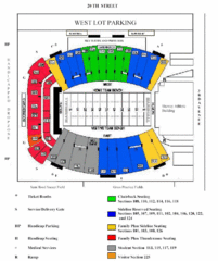
Marshall University Stadium Map
Clear map and legend of Marshall University's stadium.
338 miles away
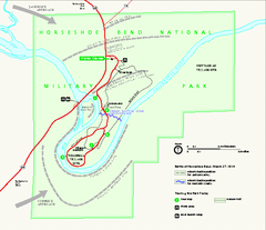
Horseshoe Bend National Military Park Official Map
Official NPS map of Horseshoe Bend National Military Park in Alabama. Horseshoe Bend National...
338 miles away
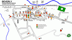
Beverly Historic District map
Tourist map of Historic Beverly of Randolph County, West Virginia.
338 miles away
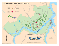
Grayson Lake State Park Map
Map of trails, facilities and golf course in Grayson Lake State Park.
340 miles away
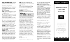
Westmoreland State Park Map
Fishing, hiking, camping and more are all available at this state park.
340 miles away
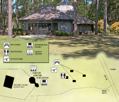
Forest Capital Museum State Park Map
Map of park with detail of recreation zones
340 miles away
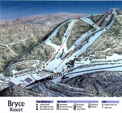
Bryce Resort Ski Trail Map
Trail map from Bryce Resort.
343 miles away
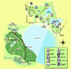
Alfred B. Maclay Gardens State Park Map
Map of park with detail of trails and recreation zones
344 miles away
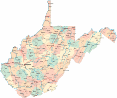
West Virginia Road Map
West Virginia Road Map
344 miles away
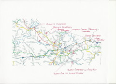
Carter County Cemetery Map
Cemeteries identified in Handwriting on map of Carter County with roads, cities and rivers.
345 miles away
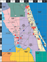
Western Florida County Map
Counties in Western Florida
346 miles away
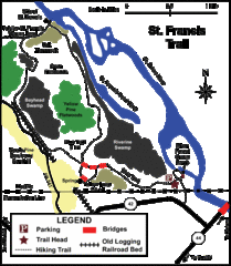
St. Francis Trail Map
The trail is located in Volusia county, about a mile from Deland. It is about an hour from Ocala.
346 miles away
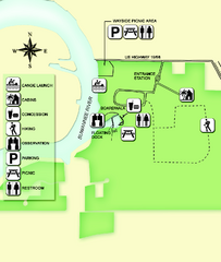
Fanning Springs State Park Map
Map of park with detail of trails and recreation zones
348 miles away
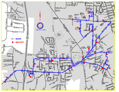
Berea Bus Route Map
348 miles away
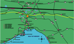
Tallahassee Freeway Map
Freeways and road leading to and from Tallahassee.
348 miles away
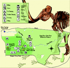
Silver River State Park Map
Map of park with detail of trails and recreation zones
349 miles away
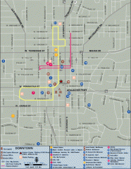
Downtown Tallahassee, Florida Map
Tourist map of downtown Tallahassee, Florida. Museums, government buildings and other points of...
349 miles away

Florida State University Map
Florida State University campus map. All buildings shown.
349 miles away
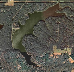
Lake Tallavana Map
Lake Tallavana aerial Map of the lake and surrounding areas.
349 miles away
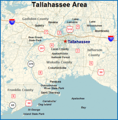
Tallahassee, Florida City Map
349 miles away

