Sandy Point State Forest Hunting Map
Virginia Department of Forestry Hunting Areas
310 miles away

University of Tennessee Map
Campus map
312 miles away
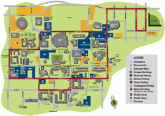
University of Tennessee Chattanooga Campus Map
Official campus map of University of Tennessee Chattanooga.
312 miles away
Lake Anna State Park Map
Detailed state park map.
312 miles away
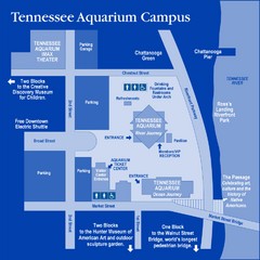
Tennessee Aquarium Campus Map
Map of Tennessee Aquarium Campus includes location of all buildings, bathrooms, parking, and...
313 miles away
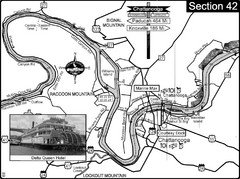
Chattanooga, TN Tennessee River Map
For boating navigational information and river road travel along the Tennessee River.
313 miles away
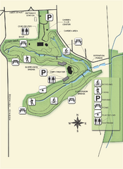
Ravine Gardens State Park Map
Map of park with detail of trails and recreation zones
314 miles away
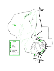
Providence Canyon State Park Map
Map of park with detail of trails and recreation zones
314 miles away
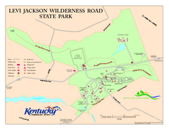
Levi Jackson Wilderness Road State Park Map
Map of trails and facilities of Levi Jackson Wilderness Road State Park.
314 miles away
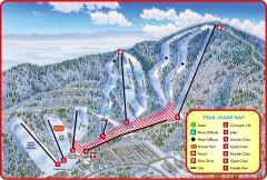
Massanutten Ski Trail Map
Official ski trail map of Massanutten ski area from the 2007-2008 season.
315 miles away
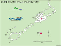
Cumberland Falls Map
315 miles away
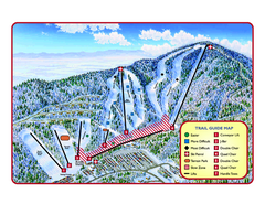
Massanutten Resort Ski Trail Map
Trail map from Massanutten Resort.
315 miles away
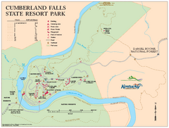
Cumberland Falls State Resort Park map
Detailed recreation map for Cumberland Falls State Resort Park in Kentucky
316 miles away
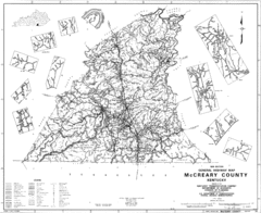
Mccreary County General Highway Map
Map of McCreary County with road, waterways and towns identified.
317 miles away
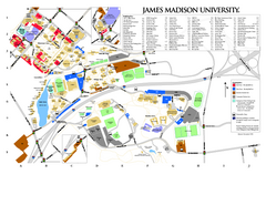
James Madison University Map
317 miles away
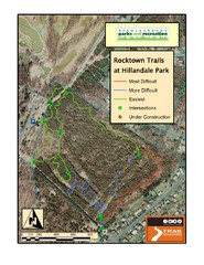
Rocktown Trail Map
Aerial trail map of Rocktown trails at Hillandale Park in Harrisonburg, VA
317 miles away
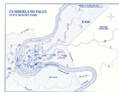
Cumberland Falls State Resort Park Map
Cumberland Falls Park Area Map
317 miles away
Kiptopek State Park Map
Informative map and legend of this amazing state park.
317 miles away
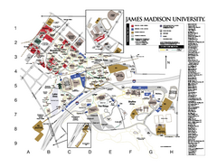
James Madison University Map
James Madison University Campus Map. All buildings shown.
318 miles away
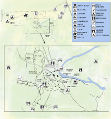
OLeno State Park Map
Map of park with detail of trails and recreation zones
318 miles away
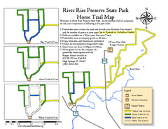
River Rise Preserve State Park Horse Trail Map
Map of horse trails throughout preserve
318 miles away
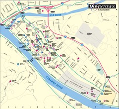
Charleston WV City Map
City map of downtown Charleston, West Virginia. Shows points of interest.
318 miles away
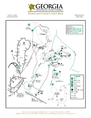
Cloudland Canyon State Park Map
Map of park with detail of trails and recreation zones
319 miles away
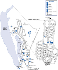
Florence Marina State Park Map
Map of park with detail of trails and recreation zones
320 miles away
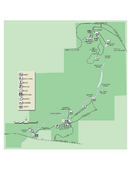
Ichetucknee Springs State Park Map
Map of park with detail of trails and recreation zones
320 miles away
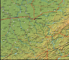
Detailed West Virginia Area Map
322 miles away
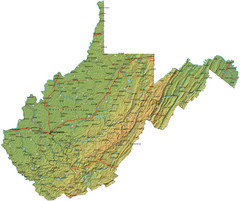
West Virginia Road Map
322 miles away
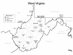
West Virginia Airports Map
322 miles away
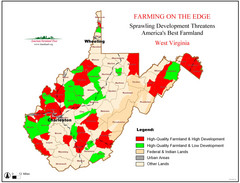
West Virginia Farmland Development Map
Map shows quality of farmland along with developments.
322 miles away

Shenandoah National Park map
Official NPS map of Shenandoah National Park.
325 miles away
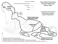
San Felasco Hammock Preserve State Park Horse...
Map of horse trails throughout preserve
325 miles away
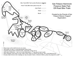
San Felasco Hammock Preserve State Park Bike...
Map of bike trails throughout preserve
325 miles away
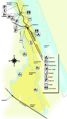
Tomoka State Park Map
Map of park with detail of recreation zones
326 miles away
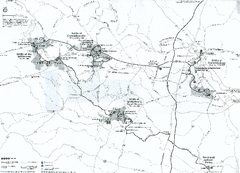
Fredericksburg and Spotsylvania National Military...
Official NPS map of Fredericksburg and Spotsylvania National Military Park in Virginia. The...
327 miles away

Little River Canyon Tourist Map
Little River Canyon, Alabama
327 miles away
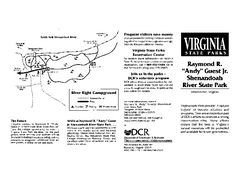
Shenandoah River State Park Map
Detailed map and legend of this beautiful state park.
328 miles away
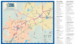
Auburn and Opelika City Map
Map of Auburn and Opelika, Alabama with tourist information.
328 miles away
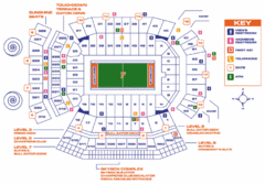
Ben Hill Griffin Stadium Map
Clear map and legend of this stadium.
328 miles away

University of Florida Map
329 miles away

