
Lower Neuse River Conservation Initiative Map
Map and poster showing conservation lands along the lower Neuse river in coastal North Carolina.
232 miles away
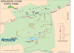
Kingdom Come State Park Map
Trail map for Kingdom Come State Park.
232 miles away
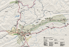
Cumberland Gap National Historical Park Official...
Official NPS map of Cumberland Gap National Historical Park in Virginia-Tennessee-Kentucky. Map...
233 miles away
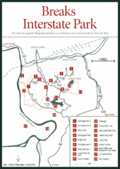
Breaks Interstate Park Map
Clear park map and legend.
234 miles away
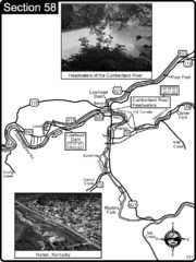
Harlan, KY-Cumberland River Headwaters Map
Section 58 of the Cumberland River Guidebook shows the beginning of the Cumberland River at the...
235 miles away

Cherry Point Conservation Initiative Map
Map showing conservation lands at two US military facilities in coastal North Carolina.
236 miles away

Abraham Balwin Agricultral College Campus Map
236 miles away
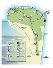
Fort Clinch State Park Map
Park map of Fort Clinch State Park in Amelia Island, Florida. Shows fort historic site, facilities...
237 miles away
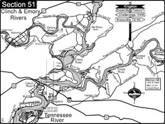
Kingston, TN Tennessee River/Clinch River/Emory...
Shows a bend on the Tennessee River at the confluence of the Clinch & Emory Rivers. For boat...
237 miles away
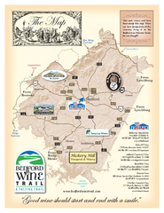
Bedford Wine Trail Map
Map of Bedford Wine Trail, showing all area wineries and vineyards.
238 miles away
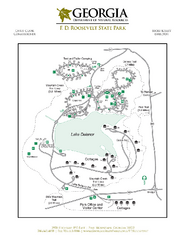
F.D. Roosevelt State Park Map
Map of park with detail of trails and recreation zones
239 miles away
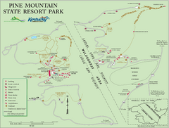
Pine Mountain State Resort Park Map
Map of trails and facilities in Pine Mountain State Resort Park .
242 miles away
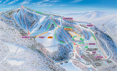
Winterplace Ski Resort Ski Trail Map
Trail map from Winterplace Ski Resort.
243 miles away

UWG Campus Map
244 miles away
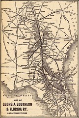
1913 Georgia Southern & Florida Railway Map
245 miles away
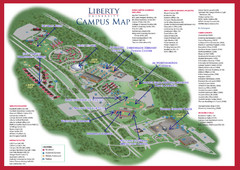
Liberty University Map
246 miles away
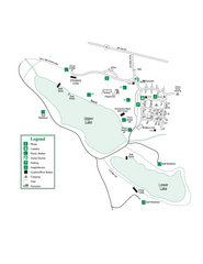
John Tanner State Park Map
Map of park with detail of trails and recreation zones
247 miles away
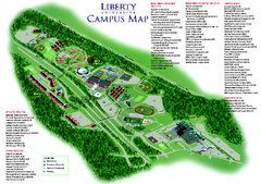
Liberty University Map
Liberty University Campus Map. All buildings shown.
250 miles away
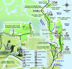
Jacksonville Area Florida State Parks Map
Overview map of Florida State Parks near Jacksonville, Florida. Shows Pumpkin Hill Creek Preserve...
253 miles away
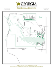
Reed Bingham State Park Map
Map of park with detail of trails and recreation zones
253 miles away
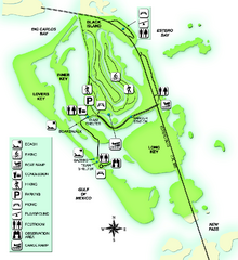
Lovers Key State Park Map
Map of park with detail of trails and recreation zones
253 miles away
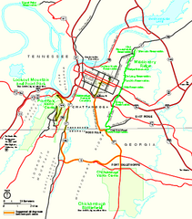
Chickamauga & Chattanooga National Military...
Official NPS map of Chickamauga & Chattanooga National Military Park in Georgia. All units of...
254 miles away
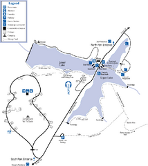
James H. Floyd State Park Map
Map of park with detail of trails and recreation zones
255 miles away
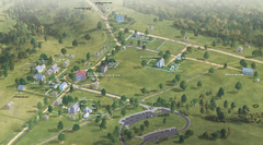
Appomattox Court House National Historical Park...
Detailed birds-eye view of the buildings in Appomattox Court House National Historical Park...
256 miles away
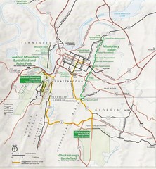
Chattanooga Guide Map
257 miles away
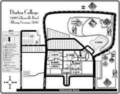
Darton College Campus Map
259 miles away
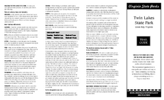
Twin Lakes State Park Map
Beautiful lakes and trails in the natural state park.
259 miles away

University of Tennessee Map
Campus map
259 miles away
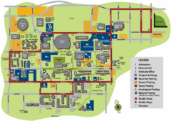
University of Tennessee Chattanooga Campus Map
Official campus map of University of Tennessee Chattanooga.
259 miles away
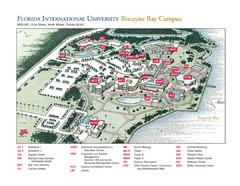
Florida International University at Biscayne...
259 miles away
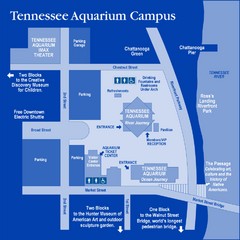
Tennessee Aquarium Campus Map
Map of Tennessee Aquarium Campus includes location of all buildings, bathrooms, parking, and...
260 miles away
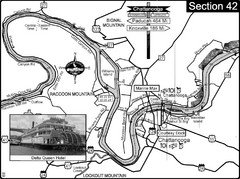
Chattanooga, TN Tennessee River Map
For boating navigational information and river road travel along the Tennessee River.
260 miles away
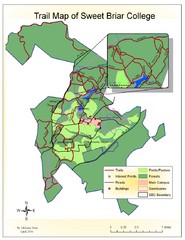
Sweet Briar College Trail Map
Trail map of Sweet Briar College campus and surrounding area
261 miles away
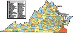
Virginia Counties Map
263 miles away

Virginia Map
263 miles away
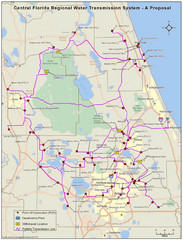
Jacksonville, Florida City Map
264 miles away
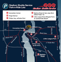
Stadium Shuttle Service Map
264 miles away
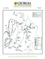
Cloudland Canyon State Park Map
Map of park with detail of trails and recreation zones
266 miles away
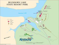
Buckhorn Lake State Resort Park Map
Map of Trails and Facilities of Buckhorn Lake State Resort Park.
267 miles away
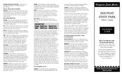
Douthat State Park Map
Clear state park map with marked facilities.
269 miles away

