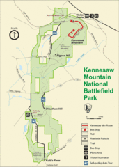
Kennesaw Moutain National Battlefield Park Map
212 miles away
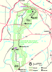
Kennesaw Mountain National Battlefield Park...
Official NPS map of Kennesaw Mountain National Battlefield Park in Georgia. We are a day use only...
212 miles away
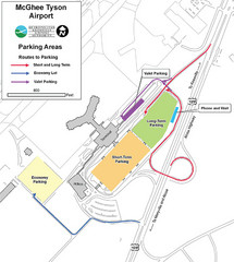
McGhee Tyson Airport Map
212 miles away
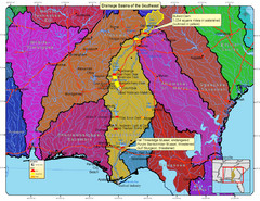
Drainage Basins of the Southeast United States Map
Lakes, rivers and dams in the Apalachicola, Chattahoochee and Flint River System.
213 miles away
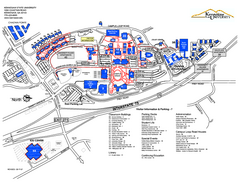
Kennesaw State University Map
Kennesaw State University Campus Map. All buildings shown.
213 miles away
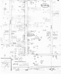
Pipestand Map
Historical map with reference to pipestand for the fire department
213 miles away
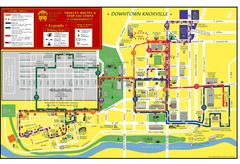
Knoxville, TN Tourist Map
214 miles away
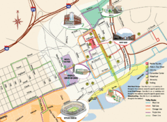
Knoxville, TN Tourist Map
214 miles away
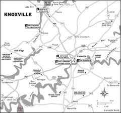
Knoxville, TN Tourist Map
214 miles away
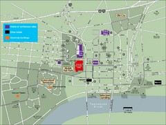
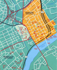
University of Tennessee Map
Map with locations of downtown Tennessee.
214 miles away
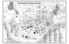
University of Tennessee Map
Campus Map of the University of Tennessee. All areas shown.
214 miles away
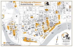
University of Tennessee Tourist Map
214 miles away
Knoxville, TN Tourist Map
214 miles away
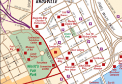
Knoxville, TN Tourist Map
214 miles away
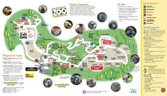
Knoxville Zoo Map
214 miles away

University of Tennessee Map
215 miles away
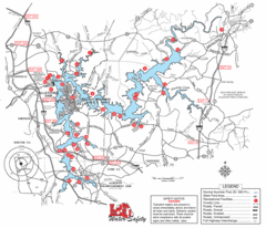
Allatoona Lake Map
215 miles away
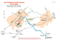
Knoxville and Oakridge Airports Map
215 miles away

Knoxville, Tennessee City Map
215 miles away
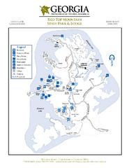
Red Top Mountain State Park Map
Map of park with detail of trails and recreation zones
218 miles away
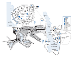
Laura S. Walker State Park Map
Map of park with detail of trails and recreation zones
218 miles away
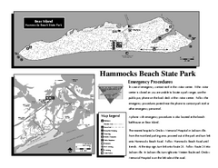
Hammocks Beach State Park Map
Detailed recreation map for Hammocks Beach State Park in North Carolina
218 miles away
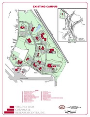
Virginia Tech Map
Virgina Tech Campus Map, shows location of all buildings and includes a reference map that shows...
218 miles away
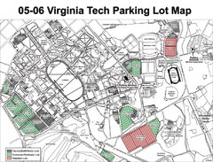
Viginia Tech Parking Map
Shows parking lots at Virginia Tech in Blacksburg, VA
218 miles away
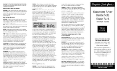
Staunton River Battlefield State Park Map
Clearly labeled state park map.
219 miles away
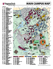
Virginia Tech Campus Map
Virginia Tech Campus Map. Shows all areas.
219 miles away
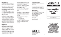
Staunton River State Park Map
Clear map marking trails, rest stops, facilities and more.
220 miles away
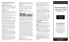
Smith Mountain Lake State Park Map
Hiking, horse back, fishing and more are all available at this amazing state park.
220 miles away
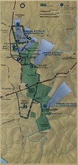
Antietam National Battelfield Map
221 miles away
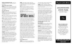
Occoneechee State Park Map
This map clearly marks rest stops, trails, campgrounds and more.
221 miles away
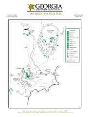
Fort Mountain State Park Map
Map of park with detail of trails and recreation zones
222 miles away
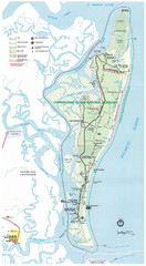
Cumberland Island Map
Map of Cumberland Island, including hiking trails and campgrounds
224 miles away
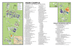
East Carolina University Map
East Carolina University Campus Map. All buildings shown.
226 miles away
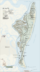
Cumberland Island National Seashore Map
Official NPS map of Cumberland Island National Seashore, Cumberland Island, Georgia. Rated #4...
227 miles away
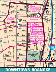
Roanoke, Virginia City Map
227 miles away
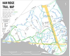
Haw Ridge Trail Map
227 miles away
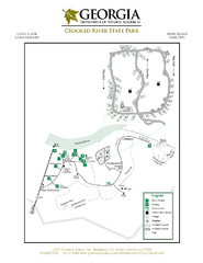
Crooked River State Park Map
Map of park with detail of trails and recreation zones
228 miles away
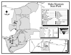
Medoc Mountain State Park map
Detailed recreation map for Medoc Mountain State Park in North Carolina.
228 miles away
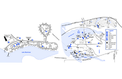
Georgia Veterans State Park Map
Map of park with detail of trails and recreation zones
228 miles away

New Bern Map
Downtown Map of New Bern.
231 miles away

