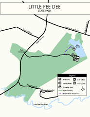
Little Pee Dee Map
Simple state park map.
113 miles away
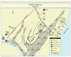
Edisto Beach State Park Map
Clearly labeled map of this beautiful state park.
115 miles away
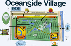
Oceanside Village Map Copy
Map of Oceanside Village Living Community
115 miles away
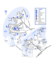
Hart State Park Map
Map of park with detail of trails and recreation zones
117 miles away
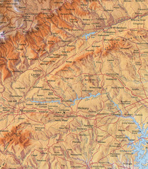
North Carolina Mountains Map
Location of the South, Brushy, and Blue Ridge Mountain ranges in Western North Carolina.
117 miles away
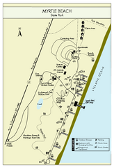
Myrtle Beach State Park Map
Clearly marked state park map
117 miles away
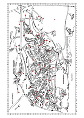
Clemson University Map
117 miles away
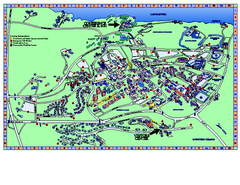
Clemson University Map
Clemson University Campus Map. All buildings shown.
118 miles away
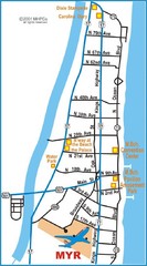
Myrtle Beach Map
119 miles away
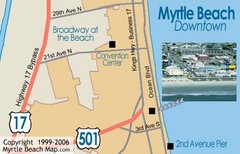
Myrtle Beach Tourist Map
119 miles away
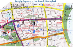
Bund Shanghai Tourist Map
119 miles away
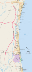
Greater Myrtle Beach Guide Map
119 miles away
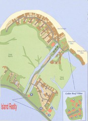
Harbor Island Real Estate Map
120 miles away
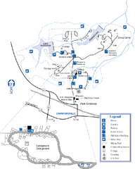
A. H. Stephens Historic Park Map
Map of park with detail of trails and recreation zones
120 miles away
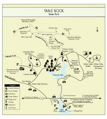
Table Rock State Park MAP
Clear and simple state park map and legend.
121 miles away
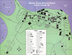
Parris Island Marine Corps Recruit Depot Map
Map of the Parris Island Marine Corps Recruit Depot near Beaufort, South Carolina. Shows...
121 miles away
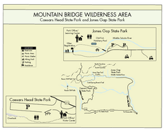
Mountain Bridge Wilderness Area Map
Map and legend marking bathrooms, picnic sites, trails and more.
121 miles away
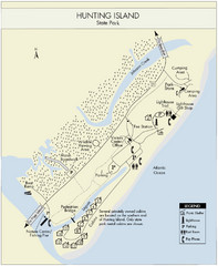
Hunting Island State Park Map
Shows facilities of Hunting Island State Park, South Carolina. Rated the #8 beach in America by...
122 miles away
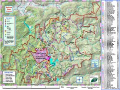
DuPont State Forest Trail map
Trail map of DuPont State Forest. Shows all trails with mileages. From dupontforest.com: "...
124 miles away
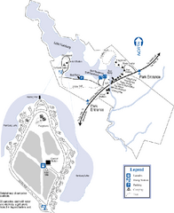
Hamburg State Park Map
Map of park with detail of trails and recreation zones
124 miles away
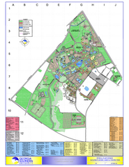
Georgia Southern University Map
Georgia Southern University Campus Map. All buildings shown.
124 miles away
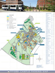
Georgia Southern University Map
Campus Map
126 miles away
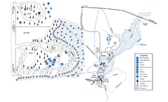
George L. Smith State Park Map
Map of park with detail of trails and recreation zones
127 miles away
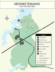
Keowee Toxaway State Park Map
Clear and detailed map of this wonderful state park.
127 miles away

The Reserve Shaded Relief Map
This map is a shaded relief property map of The Reserve in North Carolina with survey boundaries...
128 miles away
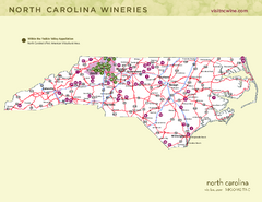
North Carolina Wine Map
Map of North Carolina wineries. 2nd page of PDF has winery listings
129 miles away

Map of Southern Blue Ridge Escarpment
Map of the Nature Conservancy's Southern Blue Ridge Escarpment project area showing protected...
129 miles away
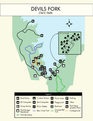
Devils Fork State Park Map
Clearly marked state park map.
131 miles away

Panoramic View of the Reserve Map
Panoramic map of the view northeast from 'Gladiola Ridge' in Brevard, North Carolina.
131 miles away
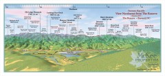
Northwest Reserve Panorama Map
Panoramic Map of the view Northwest from the Reserve in Brevard, North Carolina.
131 miles away
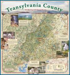
Transylvania County Tourism Development Map
Transylvania County tourist map, showing all points of interest including hiking and picnic areas.
131 miles away
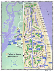
Palmetto Dunes Map
133 miles away
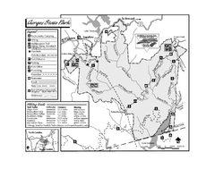
Gorges State Park map
Detailed recreation map for Gorges State Park in North Carolina
134 miles away
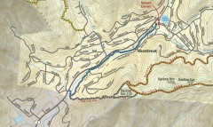
Montreat trail map
Detailed guide to the trail system surrounding the village of Montreat, NC.
134 miles away
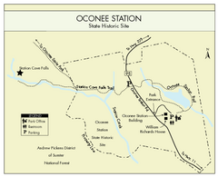
Oconee Station Map
Clear and simple map of Oconee State Park's station.
134 miles away
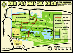
Hilton Head Run for Ret 5K Race Course Map
Hilton Head Island Run for Ret 5K Race Course, Aug 30, 2008.
135 miles away
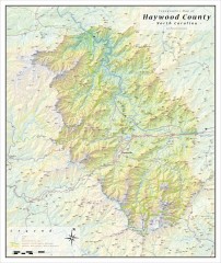
Haywood County Topographical Map
This topographic wall map of Haywood County emphasizes the rugged mountain terrain and natural...
136 miles away
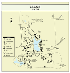
Oconee State Park Map
Beautiful state park clearly mapped with legend.
137 miles away
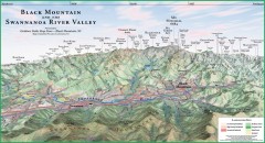
Black Mountain Panorama map
Panoramic map of the Black Mountain, NC and Swannanoa River Valley. Shows all mountains with...
138 miles away
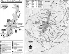
Mount Mitchell State Park map
Official map of Mt. Mitchell State Park in North Carolina. Park contains the 6,684 ft summit of...
139 miles away

