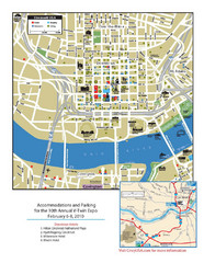
Cincinnati, Ohio Restaurant Map
402 miles away
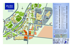
Xavier University Map
402 miles away
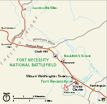
Fort Necessity National Battlefield Official Map
Official NPS map of Fort Necessity National Battlefield in Pennsylvania. The park is open daily...
402 miles away
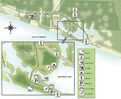
Grayton Beach State Park Map
Map of park with detail of trails and recreation zones
403 miles away
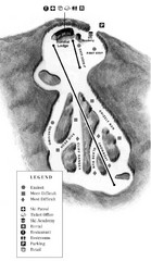
Mystic Mountain at Nemacolin Woodlands Resort Ski...
Trail map from Mystic Mountain at Nemacolin Woodlands Resort.
403 miles away
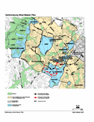
Gaithersburg, Maryland City Map
404 miles away
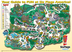
Six Flags America Theme Park Map
Official Park Map of Six Flags America in Washington D.C.
404 miles away
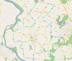
SugarLoaf Mountain Poolsville Loop Map
Area map of the 45 or 60 mile bike ride of Poolsville Loop around Sugarloaf Mountain.
404 miles away
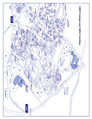
University of Maryland - University College Map
Campus Map of the University of Maryland - University College. All buildings shown.
404 miles away
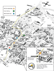
University of Maryland Map
Visitor Map of University of Maryland, shows specific location of the Hornbake building, all other...
404 miles away
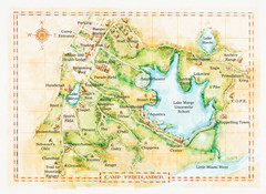
Camp Friedlander Map
405 miles away
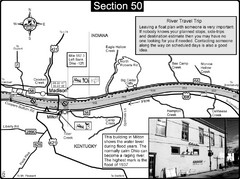
Ohio River at Madison, IN and Milton, KY Map
This is a page from the Ohio River Guidebook. The map shows important information for boaters and...
405 miles away
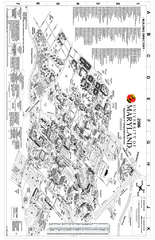
University of Maryland at College Park Map
Campus Map of the University of Maryland at College Park. All buildings shown.
405 miles away
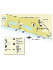
Topsail Hill Preserve State Park Map
Map of park with detail of recreation zones
407 miles away
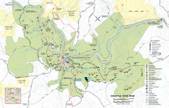
Ohiopyle State Park map
Detailed recreation map for Ohiopyle State Park in Pennsylvania.
407 miles away
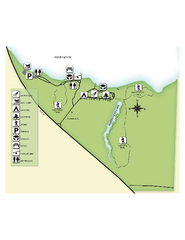
Fred Gannon Rocky Bayou State Park Map
Map of park with detail of trails and recreation zones
407 miles away
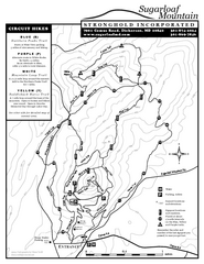
Sugarloaf Mountain Map
408 miles away
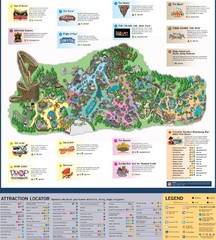
Paramount's Kings Island Map
408 miles away
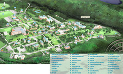
Hanover College Campus Map
Campus map of Hanover College in Hanover, IN. Shows all buildings including large number of...
409 miles away
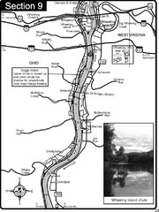
Ohio River at Wheeling, WV and 10 miles downriver...
This is a page from the Ohio River Guidebook. The map shows important information for boaters and...
410 miles away
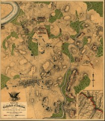
Antietam Battlefield Map
Map of the battlefield of Antietam/Sharpsburg. Shows Union and "Rebel" forces on...
411 miles away
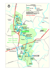
Antietam National Battlefield Official Map
Official NPS map of Antietam National Battlefield in Maryland. Open all year.
412 miles away
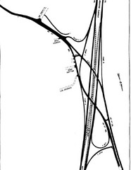
South Laurel, Maryland Map
412 miles away
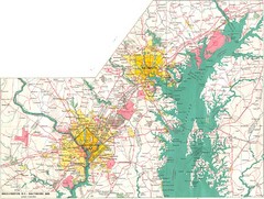
Washington D.C and Baltimore, MD City Map
413 miles away
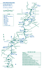
Little Miami State Park map
Detailed recreation map for Little Miami State Park and surrounding area in Ohio
413 miles away
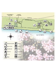
Henderson State Park Map
Map of park with detail of trails and recreation zones
413 miles away
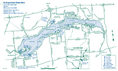
Buckeye Lake State Park map
Detailed recreation map for the Buckeye Lake area in Ohio
413 miles away

Central Kentucky Trail Map
414 miles away
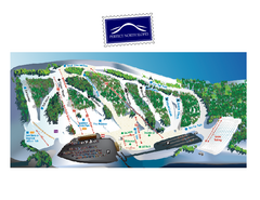
Perfect North Slopes Ski Trail Map
Trail map from Perfect North Slopes, which provides downhill, nordic, and terrain park skiing. It...
414 miles away
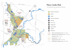
Three Creeks Park Map
416 miles away

Clifton, TN Tennessee River Map
For boating navigational information and river road travel along the Tennessee River.
416 miles away
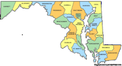
Maryland Counties Map
417 miles away
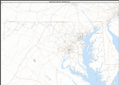
Maryland Zip Code Map
Check out this Zip code map and every other state and county zip code map zipcodeguy.com.
417 miles away
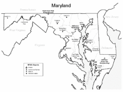
Marylands Airports Map
417 miles away
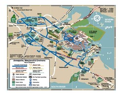
Annapolis Tourist map
417 miles away
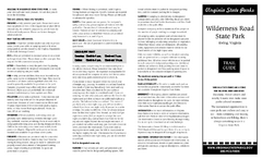
Wilderness Road State Park Map
Clearly marked state park map and legend.
417 miles away

Chesapeake & Ohio Canal National Historical...
Official NPS map of Chesapeake & Ohio Canal National Historical Park in Pennsylvania, West...
417 miles away
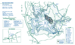
Salt Fork State Park map
Detailed recreation map for Salt Ford State Park in Ohio
417 miles away
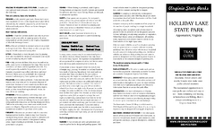
Holiday Lake State Park Map
Easy to read state park map.
418 miles away

United States Naval Academy Map
Campus map
418 miles away

