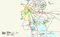
Richmond National Battlefield Park Official Map
Official NPS map of Richmond National Battlefield Park in Virginia. Park battlefields are open...
304 miles away
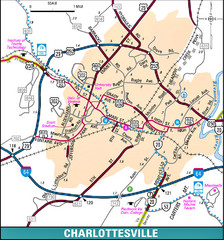
Charlottesville, Virginia City Map
305 miles away
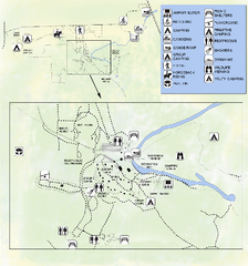
OLeno State Park Map
Map of park with detail of trails and recreation zones
305 miles away
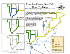
River Rise Preserve State Park Horse Trail Map
Map of horse trails throughout preserve
305 miles away
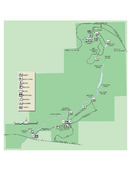
Ichetucknee Springs State Park Map
Map of park with detail of trails and recreation zones
305 miles away
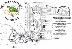
Manitoulin Resort Map
305 miles away
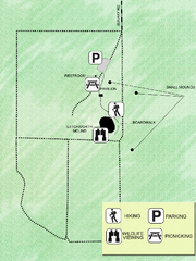
Letchworth-Love Mounds Map
Map of park with detail of trails and recreation zones
306 miles away
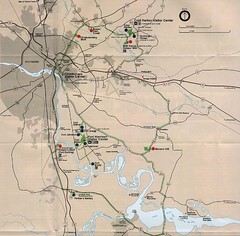
Richmond Area Civil War Battle Map
Richmond, VA area Civil War battle map
306 miles away
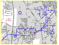
Berea Bus Route Map
307 miles away
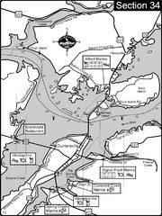
Guntersville, AL Tennessee River/Lake...
For boating navigational information and river road travel along the Tennessee River. This section...
308 miles away
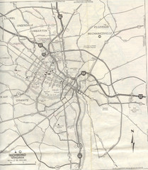
Richmond, Virgina City Map
308 miles away
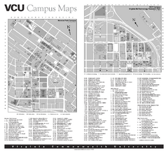
Virginia Commonwealth University Map
Virginia Commonwealth University Campus Map. All buildings shown.
308 miles away
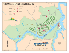
Grayson Lake State Park Map
Map of trails, facilities and golf course in Grayson Lake State Park.
308 miles away

Glendale, Virginia Battle Map
A Civil War Battle Map in Glendale, Virginia
309 miles away
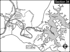
Celina, TN Dale Hollow Lake-Cumberland River Map
Celina Tennessee is the location for the head of navigation for the Cumberland River at the fork of...
309 miles away
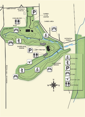
Ravine Gardens State Park Map
Map of park with detail of trails and recreation zones
311 miles away
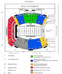
Marshall University Stadium Map
Clear map and legend of Marshall University's stadium.
312 miles away
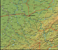
Detailed West Virginia Area Map
313 miles away
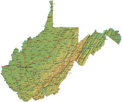
West Virginia Road Map
313 miles away
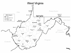
West Virginia Airports Map
313 miles away
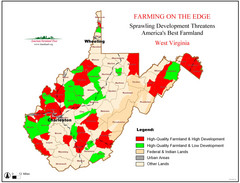
West Virginia Farmland Development Map
Map shows quality of farmland along with developments.
313 miles away
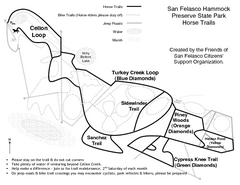
San Felasco Hammock Preserve State Park Horse...
Map of horse trails throughout preserve
314 miles away
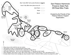
San Felasco Hammock Preserve State Park Bike...
Map of bike trails throughout preserve
314 miles away
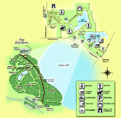
Alfred B. Maclay Gardens State Park Map
Map of park with detail of trails and recreation zones
315 miles away
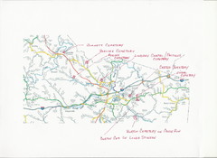
Carter County Cemetery Map
Cemeteries identified in Handwriting on map of Carter County with roads, cities and rivers.
315 miles away
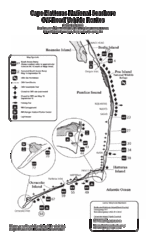
Cape Hatteras Off Road Map
315 miles away
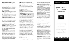
James River State Park Map
Detailed park map.
317 miles away
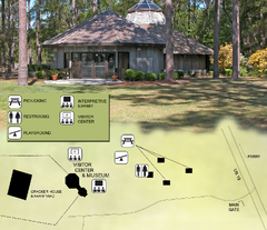
Forest Capital Museum State Park Map
Map of park with detail of recreation zones
318 miles away
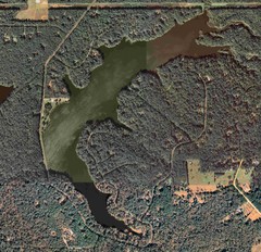
Lake Tallavana Map
Lake Tallavana aerial Map of the lake and surrounding areas.
318 miles away
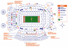
Ben Hill Griffin Stadium Map
Clear map and legend of this stadium.
318 miles away

Lake Tallavana Parcel Map
Lake Tallavana Parcel Map
319 miles away

University of Florida Map
319 miles away
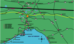
Tallahassee Freeway Map
Freeways and road leading to and from Tallahassee.
320 miles away
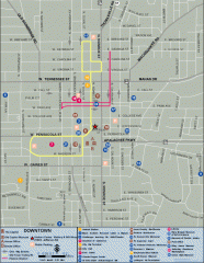
Downtown Tallahassee, Florida Map
Tourist map of downtown Tallahassee, Florida. Museums, government buildings and other points of...
320 miles away

Florida State University Map
Florida State University campus map. All buildings shown.
320 miles away
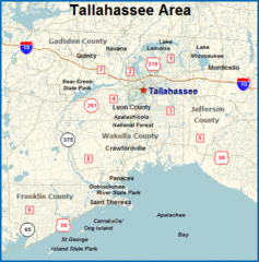
Tallahassee, Florida City Map
320 miles away
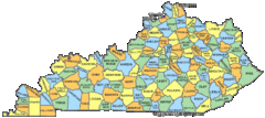
Kentucky Counties Map
321 miles away
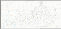
Kentucky Zip Code Map
Check out this Zip code map and every other state and county zip code map zipcodeguy.com.
321 miles away
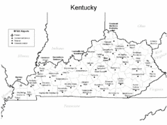
Kentucky Airports Map
321 miles away

