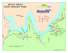
Jenny Wiley State Resort Park Map
Map of trails and facilities of Jenny Wiley State Resort Park.
270 miles away
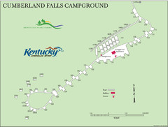
Cumberland Falls Map
270 miles away
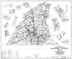
Mccreary County General Highway Map
Map of McCreary County with road, waterways and towns identified.
271 miles away
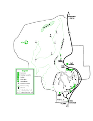
Providence Canyon State Park Map
Map of park with detail of trails and recreation zones
272 miles away
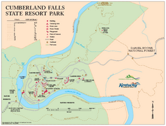
Cumberland Falls State Resort Park map
Detailed recreation map for Cumberland Falls State Resort Park in Kentucky
272 miles away
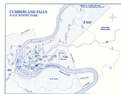
Cumberland Falls State Resort Park Map
Cumberland Falls Park Area Map
272 miles away
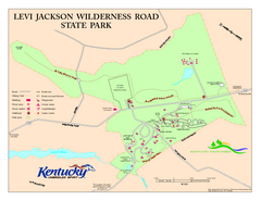
Levi Jackson Wilderness Road State Park Map
Map of trails and facilities of Levi Jackson Wilderness Road State Park.
272 miles away

Little River Canyon Tourist Map
Little River Canyon, Alabama
274 miles away
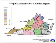
Virginia Counties Map
274 miles away
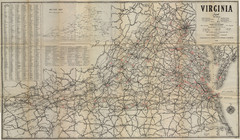
1940 Virginia Map
Guide to roads and highways of Virginia
276 miles away
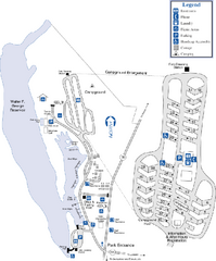
Florence Marina State Park Map
Map of park with detail of trails and recreation zones
277 miles away
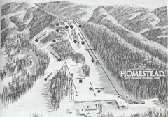
The Homestead Ski Area Ski Trail Map
Trail map from The Homestead Ski Area.
277 miles away
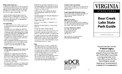
Bear Creek Lake State Park Map
Come visit this beautiful state park and see the amazing wild life.
280 miles away
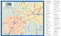
Auburn and Opelika City Map
Map of Auburn and Opelika, Alabama with tourist information.
281 miles away
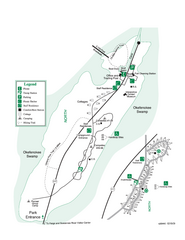
Stephen C. Foster State Park Map
Map of park with detail of trails and recreation zones
282 miles away
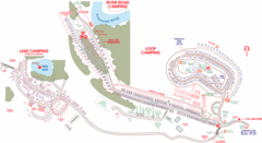
Suwanee Park Camping Map
282 miles away
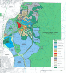
Mcclellan Land Use Map
"When the last note of taps played and the garrison flag was lowered at Fort McClellan in...
283 miles away
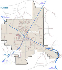
Rainsville Street Map
Chamber of Commerce Business Guide
283 miles away
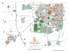
Auburn University Map
Campus Map of Auburn University. All areas shown.
284 miles away
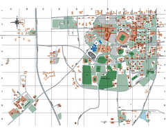
Auburn University Map
285 miles away
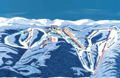
Wintergreen Ski Trail Map
Official ski trail map of Wintergreen ski area from the 2007-2008 season.
287 miles away
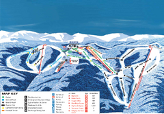
Wintergreen Ski Resort Ski Trail Map
Trail map from Wintergreen Ski Resort.
287 miles away
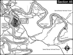
Burnside, KY-Cumberland River Map
Burnside, Kentucky is located at the fork of the Cumberland River and the South Fork. This is...
288 miles away
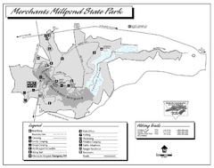
Merchants Millpond State Park map
Detailed recreation map for Merchants Millpond State Park in North Carolina
288 miles away
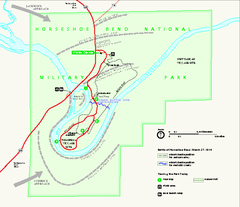
Horseshoe Bend National Military Park Official Map
Official NPS map of Horseshoe Bend National Military Park in Alabama. Horseshoe Bend National...
289 miles away
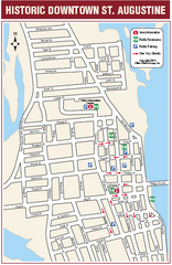
Downtown St. Augustine, Florida Map
Tourist map of historic downtown St. Augustine, Florida. Shows visitor information, restrooms, and...
291 miles away
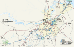
Petersburg National Battlefield Official Map
Official NPS map of Petersburg National Battlefield in Virginia. Petersburg National Battlefield is...
291 miles away
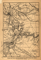
Petersburg, Virginia 1864 Map
292 miles away
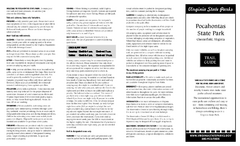
Pocahontas State Park Map
Clearly marked state park map and legend.
293 miles away
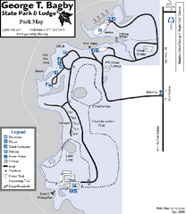
George T. Bagby State Park Map
Map of park with detail of trails and recreation zones
293 miles away
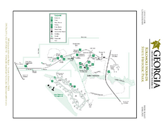
Kolomoki Mounds State Park Map
Map of park with detail of trails and recreation zones
296 miles away
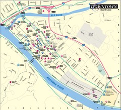
Charleston WV City Map
City map of downtown Charleston, West Virginia. Shows points of interest.
298 miles away
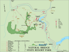
Natural Bridge State Resort Park map
Recreation map for Natural Bridge State Park in Kentucky
299 miles away

Guntersville Lake Map
301 miles away
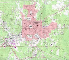
Alexander City Map
Topography city map of Alexander City, Alabama
302 miles away
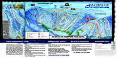
Snowshoe Mountain Ski Trail Map
Trail map from Snowshoe Mountain.
304 miles away
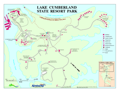
Lake Cumberland State Resort Park Map
Map of trails and facilities for Lake Cumberland State Resort Park.
304 miles away
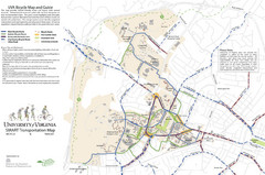
University of Virginia SMART Transportation Map
UVA Bicycle Map and Guide, including transit
304 miles away
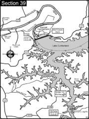
Lake Cumberland-Cumberland River Map
Lake Cumberland is formed by a dam on the Cumberland River in Section 39 of the Cumberland River...
304 miles away
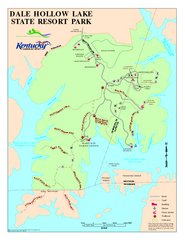
Dale Hollow Lake State Park Map
Map of trails and facilities of Dale Hollow Lake State Park.
304 miles away

