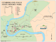
Cumberland Falls State Resort Park map
Detailed recreation map for Cumberland Falls State Resort Park in Kentucky
216 miles away
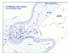
Cumberland Falls State Resort Park Map
Cumberland Falls Park Area Map
216 miles away
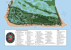
Bald Head Island Tourist Map
217 miles away
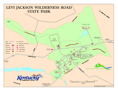
Levi Jackson Wilderness Road State Park Map
Map of trails and facilities of Levi Jackson Wilderness Road State Park.
217 miles away
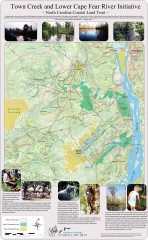
Town Creek and Lower Cape Fear river initiative...
This map shows protected and priority conservation areas of the North Carolina Coastal Land Trust...
217 miles away
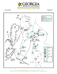
Cloudland Canyon State Park Map
Map of park with detail of trails and recreation zones
217 miles away
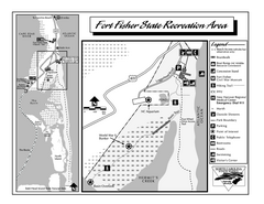
Fort Fisher State Recreation Area map
Detailed recreation area for Fort Fisher State Recreation Area in North Carolina
218 miles away
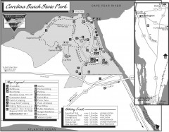
Caroline Beach State Park Map
Detailed recreation map for Caroline Beach State Park in North Carolina
218 miles away
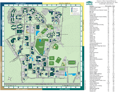
UNC Wilmington Campus Map
218 miles away
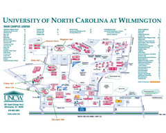
University of North Carolina at Wilmington Map
Campus map
218 miles away
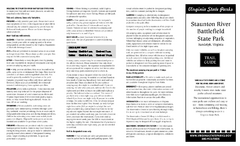
Staunton River Battlefield State Park Map
Clearly labeled state park map.
221 miles away
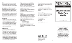
Staunton River State Park Map
Clear map marking trails, rest stops, facilities and more.
222 miles away
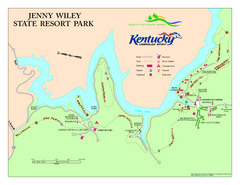
Jenny Wiley State Resort Park Map
Map of trails and facilities of Jenny Wiley State Resort Park.
222 miles away
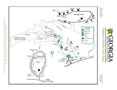
General Coffee State Park Map
Map of park with detail of trails and recreation zones
223 miles away
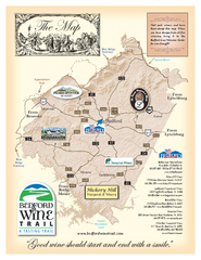
Bedford Wine Trail Map
Map of Bedford Wine Trail, showing all area wineries and vineyards.
224 miles away
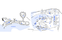
Georgia Veterans State Park Map
Map of park with detail of trails and recreation zones
224 miles away
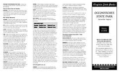
Occoneechee State Park Map
This map clearly marks rest stops, trails, campgrounds and more.
225 miles away

Little River Canyon Tourist Map
Little River Canyon, Alabama
230 miles away
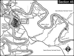
Burnside, KY-Cumberland River Map
Burnside, Kentucky is located at the fork of the Cumberland River and the South Fork. This is...
232 miles away
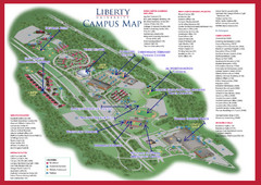
Liberty University Map
235 miles away
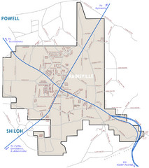
Rainsville Street Map
Chamber of Commerce Business Guide
238 miles away

Liberty University Map
Liberty University Campus Map. All buildings shown.
239 miles away

Abraham Balwin Agricultral College Campus Map
242 miles away
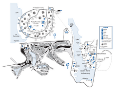
Laura S. Walker State Park Map
Map of park with detail of trails and recreation zones
242 miles away
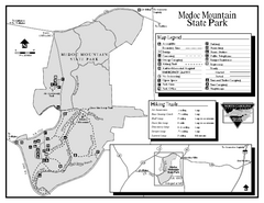
Medoc Mountain State Park map
Detailed recreation map for Medoc Mountain State Park in North Carolina.
242 miles away
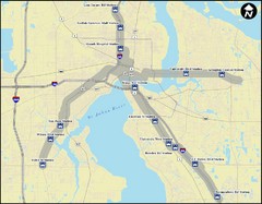
Jacksonville Bus Route Map
Bus routes in Jacksonville.
242 miles away
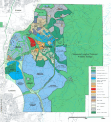
Mcclellan Land Use Map
"When the last note of taps played and the garrison flag was lowered at Fort McClellan in...
245 miles away
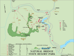
Natural Bridge State Resort Park map
Recreation map for Natural Bridge State Park in Kentucky
246 miles away
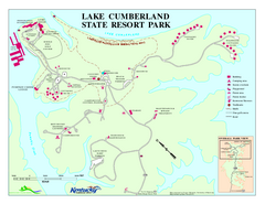
Lake Cumberland State Resort Park Map
Map of trails and facilities for Lake Cumberland State Resort Park.
248 miles away
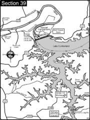
Lake Cumberland-Cumberland River Map
Lake Cumberland is formed by a dam on the Cumberland River in Section 39 of the Cumberland River...
248 miles away
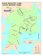
Dale Hollow Lake State Park Map
Map of trails and facilities of Dale Hollow Lake State Park.
248 miles away
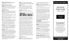
Douthat State Park Map
Clear state park map with marked facilities.
249 miles away
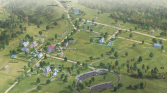
Appomattox Court House National Historical Park...
Detailed birds-eye view of the buildings in Appomattox Court House National Historical Park...
250 miles away
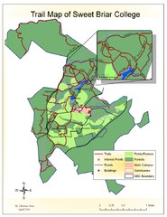
Sweet Briar College Trail Map
Trail map of Sweet Briar College campus and surrounding area
250 miles away
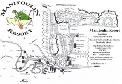
Manitoulin Resort Map
251 miles away
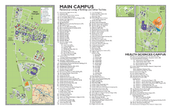
East Carolina University Map
East Carolina University Campus Map. All buildings shown.
252 miles away
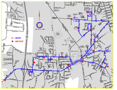
Berea Bus Route Map
253 miles away
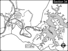
Celina, TN Dale Hollow Lake-Cumberland River Map
Celina Tennessee is the location for the head of navigation for the Cumberland River at the fork of...
253 miles away

Guntersville Lake Map
255 miles away
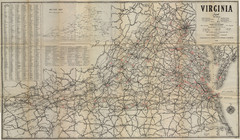
1940 Virginia Map
Guide to roads and highways of Virginia
256 miles away

