
Summerville, South Carolina Tourist Map
140 miles away
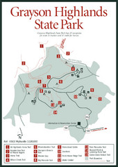
Grayson Highlands State Park Map
140 miles away
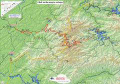
Cherohala Map
Map of Cherohala Skyway. Includes Visitor Information, roads, camping areas, and trails.
142 miles away
Blue Ridge Parkway Official Map
Official NPS map of the Blue Ridge Parkway. The Parkway meanders 469 miles through Virginia and...
143 miles away
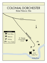
Colonial Dorchester State Park Map
Office, parking, picnic sites and more are all clearly marked on this state park site.
143 miles away
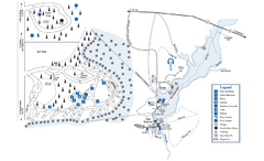
George L. Smith State Park Map
Map of park with detail of trails and recreation zones
144 miles away
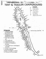
Hanging Rock, campground site map
Hanging Rock State park, map of family campground sites
146 miles away
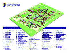
The University of North Carolina - Greensboro Map
The University of North Carolina - Greensboro Campus Map. All buildings shown.
146 miles away
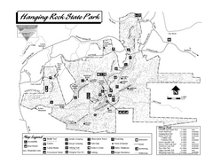
Hanging Rock State Park map
Detailed recreation map for Hanging Rock State Park in North Carolina
146 miles away
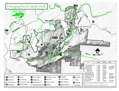
Hanging Rock state park Map
Interior color map of Hanging Rock State Park.
146 miles away
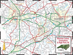
Greensboro, North Carolina City Map
147 miles away
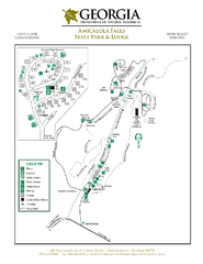
Amicalola Falls State Park Map
Map of park with detail of trails and recreation zones
147 miles away
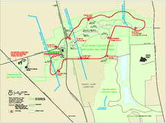
Guilford Courthouse National Military Park...
Official NPS map of Guilford Courthouse National Military Park in North Carolina. Open All Year 8...
147 miles away
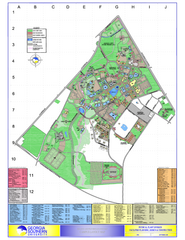
Georgia Southern University Map
Georgia Southern University Campus Map. All buildings shown.
149 miles away
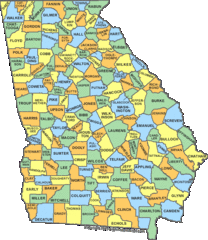
Georgia Counties Map
150 miles away
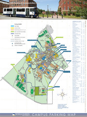
Georgia Southern University Map
Campus Map
151 miles away

Charleston, South Carolina City Map
152 miles away
New River Trail State Park Map
Clear and detailed state park map.
152 miles away
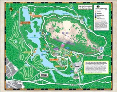
Stone Mountain State Park Map
152 miles away
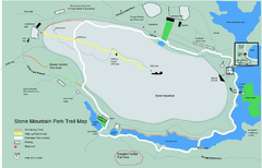
Stone Mountain Park Trail map
Trail map of Stone Mountain Park near Atlanta, GA
152 miles away
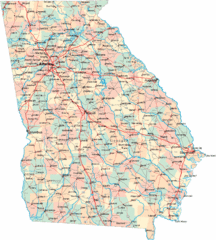
Georgia Road Map
Detailed, colorful road map of the state of Georgia.
152 miles away
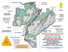
Davidson-Arabia Mountain Nature Preserve Map
Davidson-Arabia Mountain Nature Preserve is comprised of 570 acres of granite outcrop, wetlands...
155 miles away
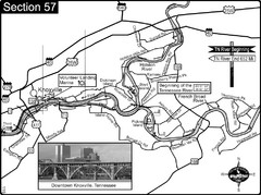
Knoxville, TN Tennessee River/Holston River...
This is the source of the Tennessee River at the confluence of the Holston River and French Broad...
155 miles away
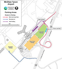
McGhee Tyson Airport Map
156 miles away
Hungry Mother State Park Map
Detailed map of this small state park.
157 miles away
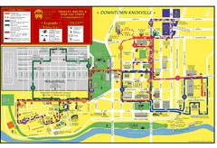
Knoxville, TN Tourist Map
157 miles away
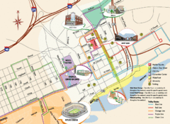
Knoxville, TN Tourist Map
157 miles away
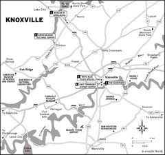
Knoxville, TN Tourist Map
157 miles away
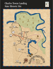
Charles Towne Landing State Park Map
This small park is full of beautiful hiking trails set in a natural setting.
158 miles away
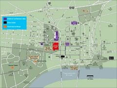
University of Tennessee Map
Map with locations of downtown Tennessee.
158 miles away
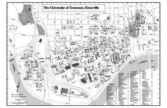
University of Tennessee Map
Campus Map of the University of Tennessee. All areas shown.
158 miles away
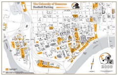
University of Tennessee Tourist Map
158 miles away
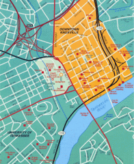
Knoxville, TN Tourist Map
158 miles away
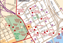
Knoxville, TN Tourist Map
158 miles away
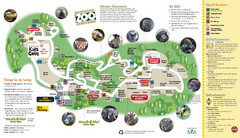
Knoxville Zoo Map
158 miles away

University of Tennessee Map
158 miles away
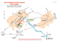
Knoxville and Oakridge Airports Map
158 miles away

Knoxville, Tennessee City Map
158 miles away

Panola Mountain State Park Map
Map of park with detail of trails and recreation zones
159 miles away
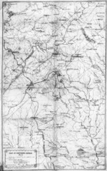
1864 Georgia Map
Used by General Sherman to guide his troops in the Civil War
159 miles away

