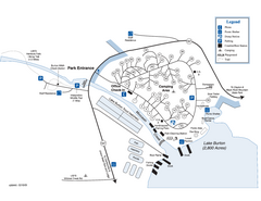
Moccasin Creek State Park Map
Map of park with detail of trails and recreation zones
111 miles away
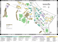
Appalachian State University Campus Map
Campus map of Appalachian State University in Boone, NC
111 miles away
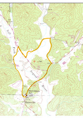
Soque River Ramble 6K Run & Walk Course...
Soque River Ramble 6K Race Course Elevation Map in Georgia.
111 miles away
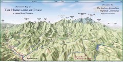
Panoramic Map of the Highlands of Roan (from TN)
Panoramic map of the Highlands of Roan as seen from Tennessee.
111 miles away

Roan Mountain Panorama Map
Panoramic Map of the View from the Baud Family Cabin of Roan Mountain, TN. The view overlooks...
111 miles away
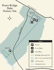
Rivers Bridge State Park Map
Nice and clear map of this history state park.
112 miles away
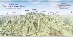
Panoramic Map of the Highlands of Roan (from NC)
Panoramic Map of the Roan Mountain Highlands as seen from North Carolina.
113 miles away
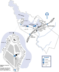
Hamburg State Park Map
Map of park with detail of trails and recreation zones
116 miles away
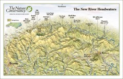
New River Headwaters Panorama Map
This panoramic map of the New River Headwaters area in North Carolina highlights TNC conservation...
117 miles away
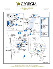
Magnolia Springs State Park Map
Map of park with detail of trails and recreation zones
120 miles away

Lake Oconee Map
122 miles away
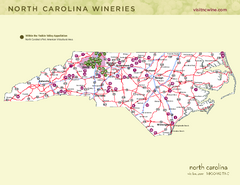
North Carolina Wine Map
Map of North Carolina wineries. 2nd page of PDF has winery listings
122 miles away
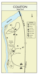
Colleton State Park Map
Detailed map and map legend of this beautiful state park.
123 miles away
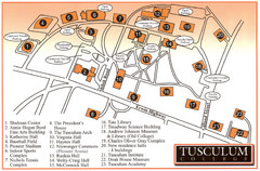
Tusculum College Campus Map
Campus map of Tusculum College in
125 miles away
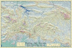
Boone, NC Outdoor Recreation Map
Guide to Boone, NC region
125 miles away
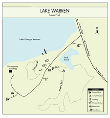
Lake Warren State Park Map
Clearly marked state park map.
126 miles away
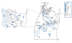
Fort Yargo State Park Map
Map of park with detail of trails and recreation zones
126 miles away

Detailed Map of Hawkesdene House area
Detailed map of how to get to Hawkesdene House B&B Inn
126 miles away
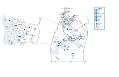
Fort Yargo State Park map
Detailed recreation and camping map for Fort Yargo State Park in Georgia
126 miles away
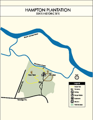
Hampton Plantation State Park Map
Clear and easy to read map.
126 miles away
Great Smoky Mountains National Park - Trail map
Official trail map of Great Smoky Mountains National park. Shows all trails, park roads, visitor...
127 miles away
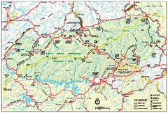
Great Smoky Mountains National Park - Park map
Official park map of Great Smoky Mountains National park. Shows location of all park roads...
127 miles away
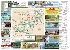
Ashe County Attractions Map
Ashe County Attractions
127 miles away
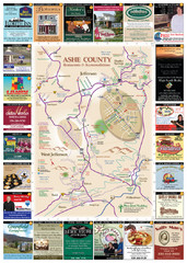
Ashe County Restaurant Map
Ashe County Restaurant Map
127 miles away
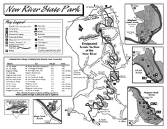
New River State Park map
Detailed recreation map for the New River State Park in North Carolina
128 miles away
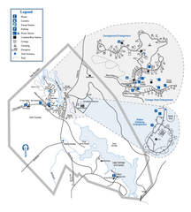
Hard Labor Creek State Park Map
Map of park with detail of trails and recreation zones
129 miles away
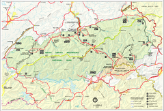
Great Smokey Mountains National Park Trail Map
Hiking trails.
130 miles away
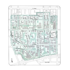
Downtown Wiston-Salem Map
The Holly Avenue neighborhood located on the southwestern edge of downtown Winston-Salem has...
130 miles away
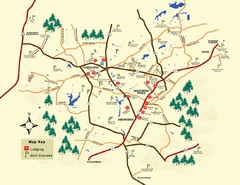
Pinehurst Golf Map
131 miles away
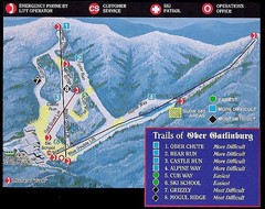
Ober Gatlinburg Ski Resort Ski Trail Map
Trail map from Ober Gatlinburg Ski Resort.
131 miles away
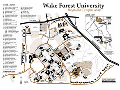
Wake Forest University Map
Campus map of Reynolda Campus
132 miles away
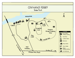
Givhans Ferry State Park Map
Map marked with shelter, phone, restrooms, picnic and more.
132 miles away
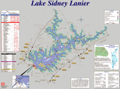
Lake Sidney Lanier Recreation Map
Recreation map of Lake Sidney Lanier in Georgia. Shows campgrounds, day use parks, marinas, and...
132 miles away
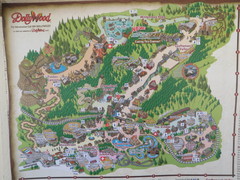
Dollywood Park Map
134 miles away
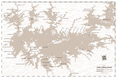
Pirate Map of Lake Sidney Lanier
Retro look pirate's map of Lake Sidney Lanier near Atlanta, Georgia
135 miles away
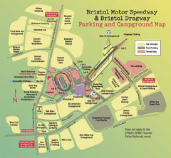
Bristol Motor Speedway Map
Guide to the campgrounds and parking at the Speedway
136 miles away
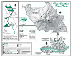
Pilot Mountain State Park map
Detailed recreation map for Pilot Mountain State Park in North Carolina
136 miles away
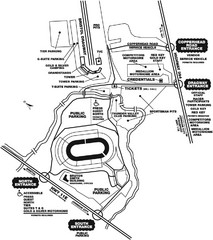
Bristol Dragway Map
Guide to campgrounds and parking at Bristol Dragway
136 miles away
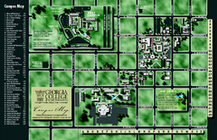
Georgia College Campus Map
Georgia College Campus Map. Shows all areas.
139 miles away
Grayson Highlands State Park Map
Clear and descriptive map of this beautiful state park.
140 miles away

