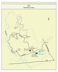
Lee State Park Map
Simple map of this state park.
89 miles away
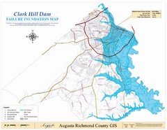
Richmond County Failure Inundation Map
Map of the flood water failure inundation of Augusta Richmond county, Georgia. Includes detailed...
89 miles away
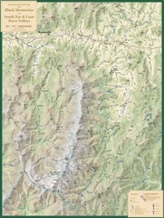
Black Mountains and South Toe and Cane River...
Guide to recreation around Mt. Mitchell State Park and Black Mountains
90 miles away
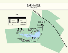
Barnwell State Park Map
Simple map of this state park.
91 miles away
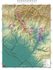
Alexander Mountain Estate Map
Vineyards in Alexander, North Carolina
93 miles away
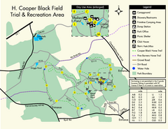
H. Cooper Black Field Map
Detailed map and legend of this state park.
96 miles away

Waynesville and Lake Junaluska Panoramic Map
Panoramic Map taking in Waynesville, Lake Junaluska and the Richland Creek watershed in Haywood...
96 miles away
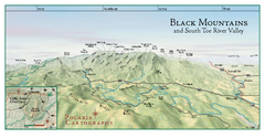
Black Mountains Panorama Map
This map portrays a sweeping vista of the Black Mountains and South Toe River Valley - extending...
97 miles away
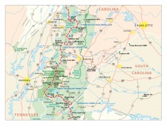
Appalachian Trail in North Carolina Map
Appalachian Trail in North Carolina. Shows major summits, National Forests, and hiking clubs.
98 miles away
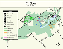
Cheraw State Park Map
Clear and descriptive state park map.
99 miles away
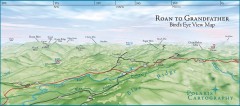
Panoramic View of Roan to Grandfather Map
This panorama takes in the vista from Roan to Grandfather mountain - overlooking the upper Linville...
99 miles away
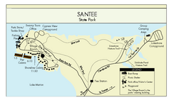
Santee State Park Map
Clear state park map.
100 miles away
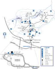
A. H. Stephens Historic Park Map
Map of park with detail of trails and recreation zones
101 miles away
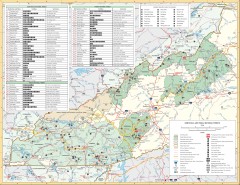
Pisgah National Forest and Nantahala National...
Pisgah National Forest and Nantahala National Forest recreation map. Contains list of all...
101 miles away
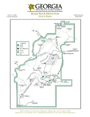
Black Rock Mountain State Park Map
Map of park with detail of trails and recreation zones
102 miles away
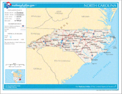
North Carolina Road Map
102 miles away
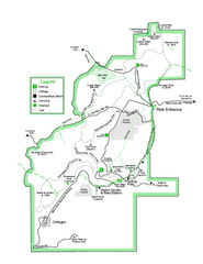
Black Rock State Park map
Detailed recreation map for Black Rock State Park in Georgia
102 miles away
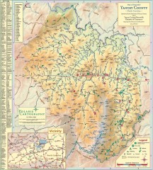
Yancey County Chamber of Commerce Map
Map of Yancey County, North Carolina. Shows all public roads, communities, hiking trails and picnic...
103 miles away
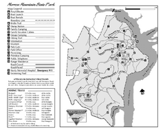
Morrow Mountain State Park map
Detailed recreational map for Morrow Mountain State Park in North Carolina
104 miles away
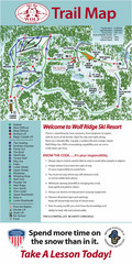
Wolf Laurel Ski Resort Ski Trail Map
Trail map from Wolf Laurel Ski Resort.
104 miles away
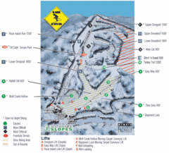
Cataloochee Ski Area Ski Trail Map
Trail map from Cataloochee Ski Area.
104 miles away

Athens Airport Lines Map
105 miles away
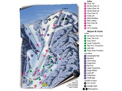
Sugar Mountain Resort Ski Trail Map
Trail map from Sugar Mountain Resort.
106 miles away
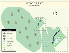
Woods Bay State Park Map
Clear map of this small yet beautiful state park.
106 miles away
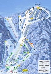
Sugar Mountain Ski Trail Map
Official ski trail map of Sugar Mountain ski area
106 miles away
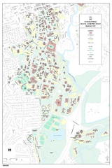
University of Georgia Map
Campus map of the University of Georgia. All buildings shown.
107 miles away

Athens, Georgia City Map
108 miles away
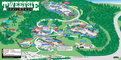
Tweetsie Railroad Park Map
Tweetsie Railroad is a unique attraction that allows children and families to explore their...
108 miles away
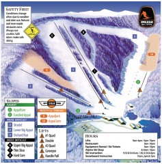
Appalachian Ski Trail Map
Official ski trail map of Appalachian ski area
108 miles away
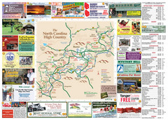
Avery County Attractions Map
Avery County Attractions Map
108 miles away

Avery County Restaurants Map
Avery County Tourist Map
108 miles away
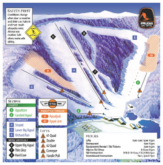
Appalachian Ski Mtn. Ski Trail Map
Trail map from Appalachian Ski Mtn..
108 miles away
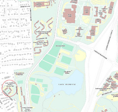
Brandon Town Map
Town of Brandon and University of Georgia Campus
108 miles away

University of Georgia and Surrounding Area Map
109 miles away

North Carolina Road Map
Road map of North Carolina
109 miles away

Tweetsie Tourist Map
110 miles away
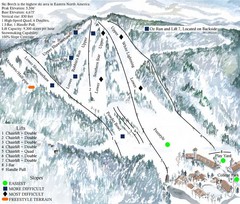
Beech Mountain Ski Resort Ski Trail Map
Trail map from Beech Mountain Ski Resort.
110 miles away
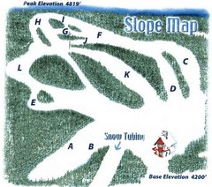
Hawksnest Golf & Ski Resort Ski Trail Map
Trail map from Hawksnest Golf & Ski Resort.
110 miles away

Watauga County Attractions Map
Watauga County Tourist Attractions
111 miles away

Watauga County Restaurants Map
Watuaga County Restaurant Guide
111 miles away

