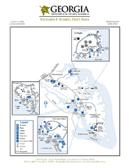
Richard B. Russell State Park Map
Map of park with detail of trails and recreation zones
69 miles away
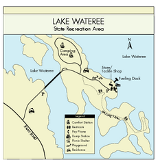
Lake Wateree State Park Map
Clear map of State Park.
70 miles away

The Reserve Shaded Relief Map
This map is a shaded relief property map of The Reserve in North Carolina with survey boundaries...
71 miles away

Map of Southern Blue Ridge Escarpment
Map of the Nature Conservancy's Southern Blue Ridge Escarpment project area showing protected...
73 miles away
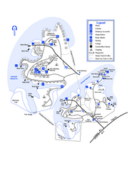
Hart State Park Map
Map of park with detail of trails and recreation zones
73 miles away
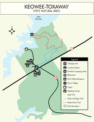
Keowee Toxaway State Park Map
Clear and detailed map of this wonderful state park.
73 miles away
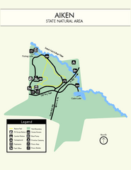
Aiken State Park Map
Small and simple state park map.
74 miles away

Panoramic View of the Reserve Map
Panoramic map of the view northeast from 'Gladiola Ridge' in Brevard, North Carolina.
75 miles away
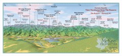
Northwest Reserve Panorama Map
Panoramic Map of the view Northwest from the Reserve in Brevard, North Carolina.
75 miles away
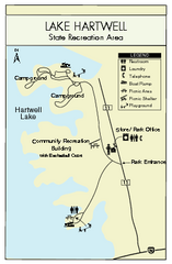
Lake Hartwell State Park Map
Clear state park map.
75 miles away
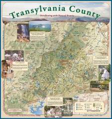
Transylvania County Tourism Development Map
Transylvania County tourist map, showing all points of interest including hiking and picnic areas.
75 miles away
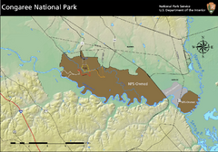
Congaree National Park Official Park Map
Official NPS map of Congaree National Park. Map shows all areas. Congaree National Park is open...
76 miles away
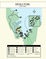
Devils Fork State Park Map
Clearly marked state park map.
77 miles away
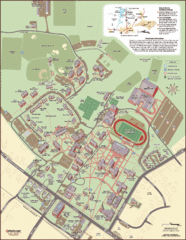
Davidson College Campus Map
Detailed map of Davidson College's campus.
77 miles away
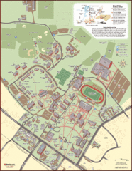
Davidson College Campus Map
Clear map of Davidson College.
77 miles away
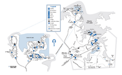
Mistletoe State Park Map
Map of park with detail of trails and recreation zones
78 miles away
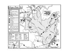
Gorges State Park map
Detailed recreation map for Gorges State Park in North Carolina
78 miles away
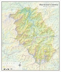
Haywood County Topographical Map
This topographic wall map of Haywood County emphasizes the rugged mountain terrain and natural...
79 miles away
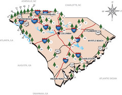
South Carolina State Park Map
Shows state parks in South Carolina
80 miles away
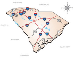
South Carolina Interstate Map
Shows Interstate highways in South Carolina
80 miles away
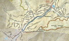
Montreat trail map
Detailed guide to the trail system surrounding the village of Montreat, NC.
80 miles away
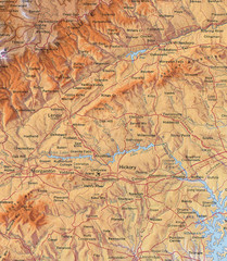
North Carolina Mountains Map
Location of the South, Brushy, and Blue Ridge Mountain ranges in Western North Carolina.
81 miles away
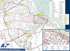
Augusta Public Transit Routes Map
Transit Route Map of the town of Augusta. Includes all streets, some important buildings, and a...
81 miles away
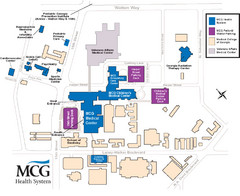
MCG Health System--Medical College of Georgia...
Color-coded map of all buildings on the Medical College of Georgia associated with the MCG Health...
81 miles away
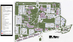
Augusta State University Map
Campus map
81 miles away
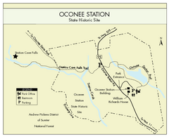
Oconee Station Map
Clear and simple map of Oconee State Park's station.
81 miles away
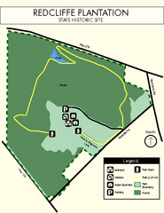
Redcliffe Plantation State Park Map
Clear map of this wonderful state park with a beautiful natural setting.
83 miles away
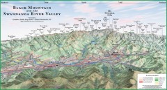
Black Mountain Panorama map
Panoramic map of the Black Mountain, NC and Swannanoa River Valley. Shows all mountains with...
84 miles away
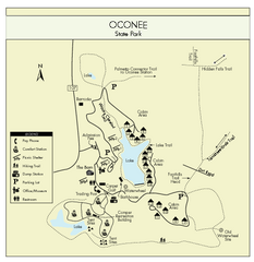
Oconee State Park Map
Beautiful state park clearly mapped with legend.
84 miles away
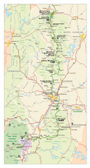
Asheville, North Carolina Parkway Map
84 miles away
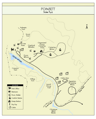
Poinsett State Park Map
Map and legend for this wonderful state park, marking bathrooms, camping grounds, roads, and more.
85 miles away
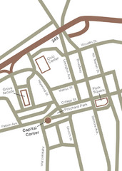
Downtown Asheville Map
Located in the heart of Asheville’s professional, municipal and cultural activity, Capital...
85 miles away
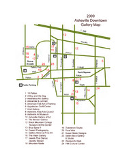
Downtown Asheville Galleria Map
Numbered shopping map of Downtown Asheville.
85 miles away
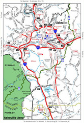
Asheville, NC Tourist Map
85 miles away

Asheville School Campus map
Map of the 300-acre campus of Asheville School, a private boarding school for grades 9-12 with...
86 miles away
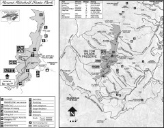
Mount Mitchell State Park map
Official map of Mt. Mitchell State Park in North Carolina. Park contains the 6,684 ft summit of...
87 miles away
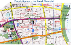
Bund Shanghai Tourist Map
87 miles away
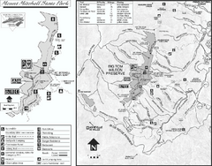
Mount Mitchell State Park map
Detailed recreational map for Mt. Mitchell State Park in North Carolina
87 miles away
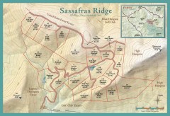
Sassafras Ridge Shaded Relief Map
This map is a shaded relief property map with survey boundaries and property roads. The map...
87 miles away

Sassafras Ridge Panorama Map
Panoramic view from Sassafras Ridge near Cashiers, North Carolina.
88 miles away

