
Seven Springs Mountain Resort Ski Trail Map
Trail map from Seven Springs Mountain Resort.
397 miles away
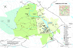
Laurel Hill State Park Map
Detailed recreation map for Laurel Hill State Park in Pennsylvania
397 miles away
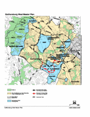
Gaithersburg, Maryland City Map
397 miles away
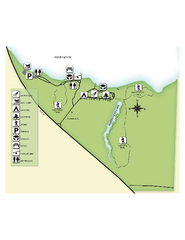
Fred Gannon Rocky Bayou State Park Map
Map of park with detail of trails and recreation zones
397 miles away
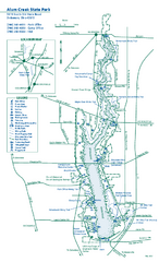
Alum Creek State Park map
Recreational map for Alum Creek State Park in Ohio
397 miles away
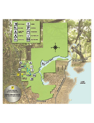
Lake Griffin State Park Map
Map of park with detail of trails and recreation zones
398 miles away

Citrus County, Florida Map
Tourist map of Citrus County, Florida. Shows parks, trails, museums, and other points of interest.
398 miles away
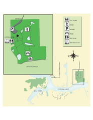
Crystal River Archeological State Park Map
Map of park with detail of trails and recreation zones
398 miles away
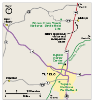
Brices Cross Roads National Battlefield Site...
Official NPS map of Brices Cross Roads National Battlefield Site in Mississippi. The grounds of the...
398 miles away
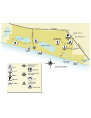
Topsail Hill Preserve State Park Map
Map of park with detail of recreation zones
399 miles away
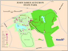
John James Audubon State Park Map
Map of trails, facilities and historical sites in John James Audubon State Park.
399 miles away
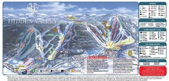
Hidden Valley Ski Trail Map
Trail map from Hidden Valley.
400 miles away
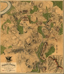
Antietam Battlefield Map
Map of the battlefield of Antietam/Sharpsburg. Shows Union and "Rebel" forces on...
400 miles away
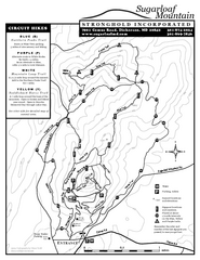
Sugarloaf Mountain Map
400 miles away
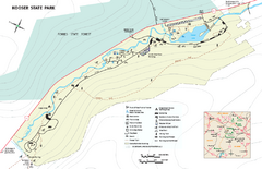
Kooser State Park Map
Detailed recreation map for Kooser State Park in Pennsylvania
400 miles away
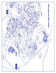
University of Maryland - University College Map
Campus Map of the University of Maryland - University College. All buildings shown.
400 miles away
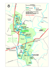
Antietam National Battlefield Official Map
Official NPS map of Antietam National Battlefield in Maryland. Open all year.
400 miles away
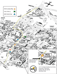
University of Maryland Map
Visitor Map of University of Maryland, shows specific location of the Hornbake building, all other...
400 miles away
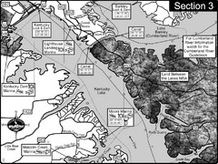
Kentucky Lake Tennesssee River-Land Between the...
This is the upper end of Kentucky Lake which is the Tennessee River. The map is designed for...
401 miles away
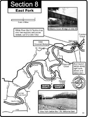
Williams, IN White River East Fork Map
This is a page from the White River Guidebook. The map shows important information for boaters and...
401 miles away
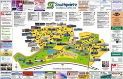
Southpointe Community Map
Tourist map of planned community in Pennsylvania
401 miles away

Six Flags America Theme Park Map
Official Park Map of Six Flags America in Washington D.C.
401 miles away
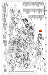
University of Maryland at College Park Map
Campus Map of the University of Maryland at College Park. All buildings shown.
402 miles away
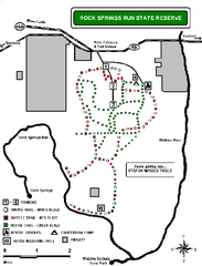
Rock Springs Run State Reserve Trail Map
Map of various trails throughout reserve
402 miles away
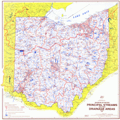
Ohio Watersheds Map
Principal Streams and their Drainage Areas. Based on map by C. E. Sherman, July 1925
402 miles away
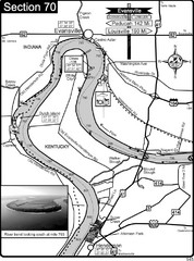
Ohio River at Evansville, IN and Henderson, KY Map
This is a page from the Ohio River Guidebook. The map shows important information for boaters and...
402 miles away
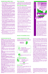
Brown County State Park, Indiana Site Map
403 miles away
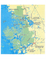
Crystal River Preserve State Park Map
Map of park with detail of recreation zones
403 miles away
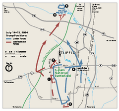
Tupelo National Battlefield Official Map
Official NPS map of Tupelo National Battlefield in Mississippi. Tupelo National Battlefield (NB...
403 miles away
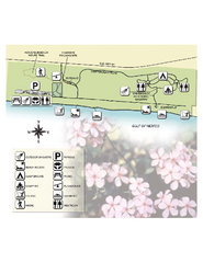
Henderson State Park Map
Map of park with detail of trails and recreation zones
404 miles away
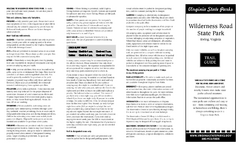
Wilderness Road State Park Map
Clearly marked state park map and legend.
404 miles away

Chesapeake & Ohio Canal National Historical...
Official NPS map of Chesapeake & Ohio Canal National Historical Park in Pennsylvania, West...
405 miles away
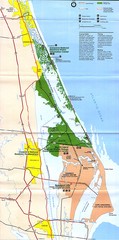
Canaveral National Seashore Map
405 miles away
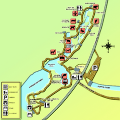
Homosassa Springs Wildlife State Park map
Map of park with detail of trails and recreation zones
405 miles away
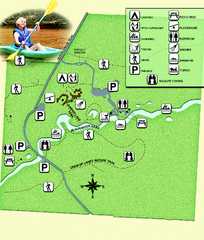
Blackwater River State Park Map
Map of park with detail of various recreation zones
406 miles away

Panhandle Rail-Trail Map
406 miles away
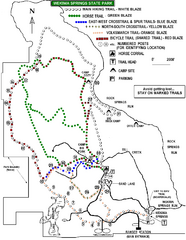
Wekiwa Springs State Park Trail Map
Trail map of park
406 miles away
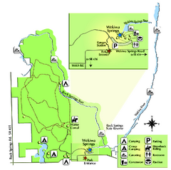
Wekiwa Springs State Park Map
Map of park with detail of trails and recreation zones
406 miles away

Linn Run State Park map
Detailed map of Linn Run State Park and Laurel Mountain State Park in Pennsylvania
407 miles away
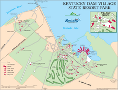
Kentucky Dam Village State Resort Park Map
Map of golf course and facilities for Kentucky Dam Village State Resort Park, one of three state...
407 miles away

