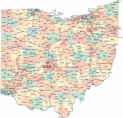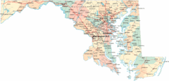
Chesapeake Water Table Elevation Map
Water Resource Protection data for Chesapeake Bay
369 miles away
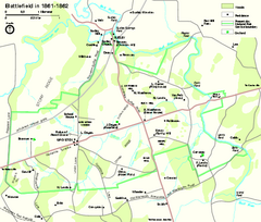
Manassas National Battlefield Park Official Map
Official NPS map of Manassas National Battlefield Park in Virginia.
370 miles away
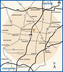
Atrium County Map
Map of Atrium County, Ohio. Includes all roads and towns.
370 miles away
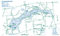
Buckeye Lake State Park map
Detailed recreation map for the Buckeye Lake area in Ohio
371 miles away
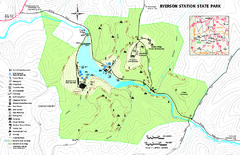
Ryerson Station State Park map
Detailed recreation map of Ryerson Station State Park in Pennsylvania
371 miles away
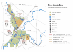
Three Creeks Park Map
371 miles away
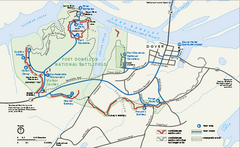
Fort Donelson National Battlefield Official Map
Official NPS map of Fort Donelson National Battlefield in Tennessee. Fort Donelson visitor center...
372 miles away
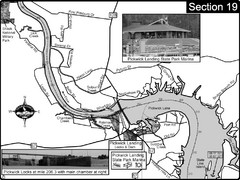
Pickwick Lake Tennessee River Map
For boating navigational information and river road travel along the Tennessee River. This map...
372 miles away
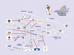
Blue Ridge vineyards map
Winery map of the Blue Ridge area of Virginia, showing wineries and vineyards.
372 miles away
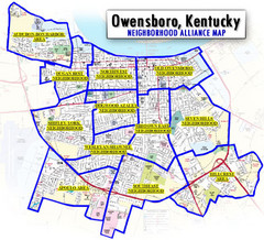
Owensboro, Kentucky City Map
374 miles away
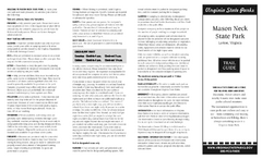
Mason Neck State Park Map
Descriptive map detailing trails, rest stops, and more.
374 miles away

Tishomingo State Park, Mississippi Map
This map unfortunately does not adequately represent this park which is in one of the few areas of...
374 miles away
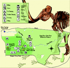
Silver River State Park Map
Map of park with detail of trails and recreation zones
374 miles away
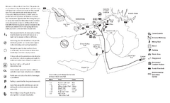
Mason Neck State Park Map
Trail map of Mason Neck State Park near Lornton, Virginia. Shows approx. 3 miles of hiking trails...
374 miles away

Columbus Bike Map
Bike trails in Columbus.
376 miles away
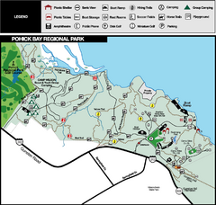
Pohick Bay Regional Park Map
Park map of Pohick Bay Regional Park near Lorton, VA on the Potomac River. Shows trails and...
376 miles away

MOAS Museum Map
376 miles away
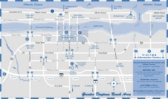
Dayton Beach Map
Map of greater Dayton Beach area
376 miles away
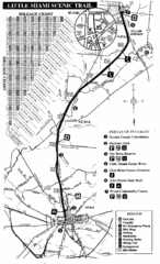
Little Miami Scenic Trail Map
Map of the Little Miami Scenic Trail biking route from Xenia, Ohio to Yellow Springs, Ohio. Shows...
376 miles away
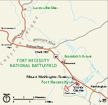
Fort Necessity National Battlefield Official Map
Official NPS map of Fort Necessity National Battlefield in Pennsylvania. The park is open daily...
378 miles away

Columbus, Ohio City Map
378 miles away
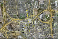
Restaurants in Columbus, Ohio Map
Local and chain restaurants in Columbus, Ohio
378 miles away
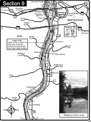
Ohio River at Wheeling, WV and 10 miles downriver...
This is a page from the Ohio River Guidebook. The map shows important information for boaters and...
378 miles away
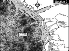
Lake Barkley-Cumberland River Map
Portion of Lake Barkley formed on the Cumberland River. In this section the state line is shown...
378 miles away
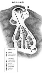
Mystic Mountain at Nemacolin Woodlands Resort Ski...
Trail map from Mystic Mountain at Nemacolin Woodlands Resort.
379 miles away
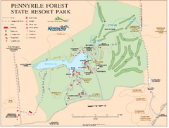
Pennyrile State Resort Park map
Recreation map for Pennyrile Forest State Park in Kentucky
379 miles away
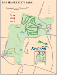
Ben Hawes State Park Map
Map of trails, facilities and golf course in Ben Hawes State Park.
379 miles away
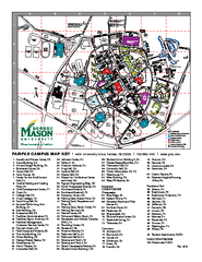
George Mason University Map
379 miles away
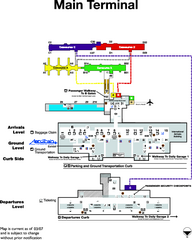
Dulles International Airport Terminal Map
Official Terminal Map of Dulles International Airport. Shows all areas.
380 miles away
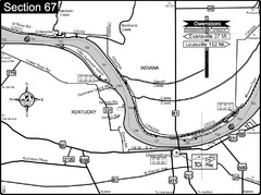
Ohio River at Owensboro, Kentucky Map
This is a page from the Ohio River Guidebook. The map shows important information for boaters and...
380 miles away

The Ohio State University Map
381 miles away
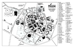
George Mason University Map
Campus map of George Mason University. All buildings shown.
381 miles away
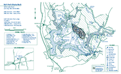
Salt Fork State Park map
Detailed recreation map for Salt Ford State Park in Ohio
381 miles away
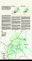
Shiloh National Military Park Official Park Map
Official NPS map of Shiloh National Military Park in Tennessee. The park is open every day except...
381 miles away
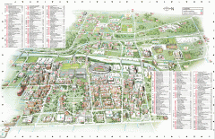
Ohio State University - main campus map
Map of main Columbus, Ohio campus of Ohio State University. 51,818 total students enrolled in 2006...
381 miles away
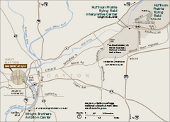
Dayton Aviation Heritage National Historical Park...
Official NPS map of Dayton Aviation Heritage National Historical Park in Ohio. Dayton Aviation...
383 miles away
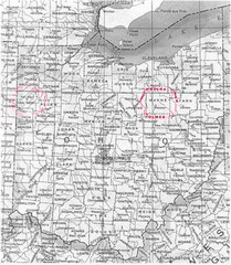
Ohio County Map
383 miles away

Dayton, Ohio City Map
383 miles away

