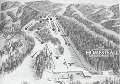
The Homestead Ski Area Ski Trail Map
Trail map from The Homestead Ski Area.
256 miles away
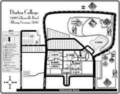
Darton College Campus Map
256 miles away
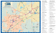
Auburn and Opelika City Map
Map of Auburn and Opelika, Alabama with tourist information.
257 miles away
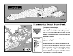
Hammocks Beach State Park Map
Detailed recreation map for Hammocks Beach State Park in North Carolina
257 miles away
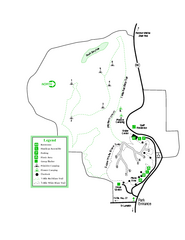
Providence Canyon State Park Map
Map of park with detail of trails and recreation zones
258 miles away
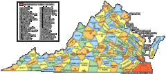
Virginia Counties Map
258 miles away

Virginia Map
258 miles away
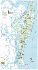
Cumberland Island Map
Map of Cumberland Island, including hiking trails and campgrounds
259 miles away
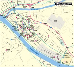
Charleston WV City Map
City map of downtown Charleston, West Virginia. Shows points of interest.
259 miles away
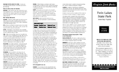
Twin Lakes State Park Map
Beautiful lakes and trails in the natural state park.
259 miles away
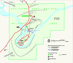
Horseshoe Bend National Military Park Official Map
Official NPS map of Horseshoe Bend National Military Park in Alabama. Horseshoe Bend National...
260 miles away
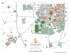
Auburn University Map
Campus Map of Auburn University. All areas shown.
260 miles away
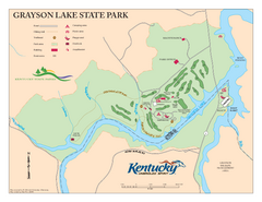
Grayson Lake State Park Map
Map of trails, facilities and golf course in Grayson Lake State Park.
260 miles away
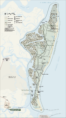
Cumberland Island National Seashore Map
Official NPS map of Cumberland Island National Seashore, Cumberland Island, Georgia. Rated #4...
260 miles away
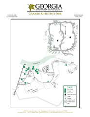
Crooked River State Park Map
Map of park with detail of trails and recreation zones
261 miles away
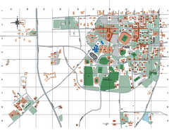
Auburn University Map
261 miles away
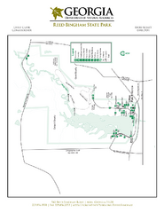
Reed Bingham State Park Map
Map of park with detail of trails and recreation zones
261 miles away
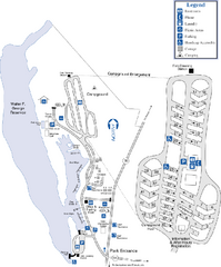
Florence Marina State Park Map
Map of park with detail of trails and recreation zones
261 miles away
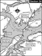
Guntersville, AL Tennessee River/Lake...
For boating navigational information and river road travel along the Tennessee River. This section...
263 miles away

New Bern Map
Downtown Map of New Bern.
265 miles away

Lower Neuse River Conservation Initiative Map
Map and poster showing conservation lands along the lower Neuse river in coastal North Carolina.
265 miles away
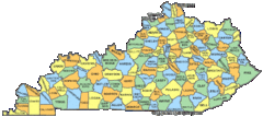
Kentucky Counties Map
267 miles away
Kentucky Zip Code Map
Check out this Zip code map and every other state and county zip code map zipcodeguy.com.
267 miles away
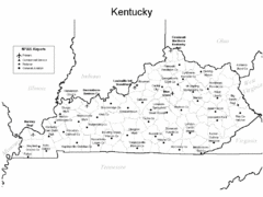
Kentucky Airports Map
267 miles away
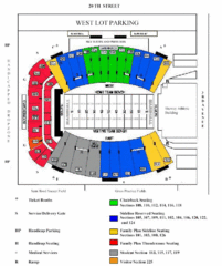
Marshall University Stadium Map
Clear map and legend of Marshall University's stadium.
267 miles away
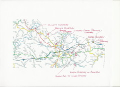
Carter County Cemetery Map
Cemeteries identified in Handwriting on map of Carter County with roads, cities and rivers.
267 miles away
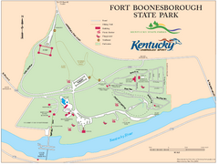
Fort Boonesborough State Park Map
Map of trails, historical sites and facilities at Fort Boonesborough State Park.
269 miles away
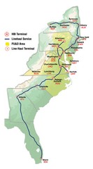
Linehaul Service Area Map
Service Area Map of Linehaul Surface Transportation
269 miles away
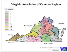
Virginia Counties Map
269 miles away
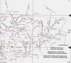
Trousdale County Muttonbluff Map
Pictured is a part of a map of Trousdale County containing the extreme northeast section. The...
271 miles away
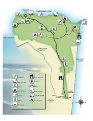
Fort Clinch State Park Map
Park map of Fort Clinch State Park in Amelia Island, Florida. Shows fort historic site, facilities...
271 miles away

Cherry Point Conservation Initiative Map
Map showing conservation lands at two US military facilities in coastal North Carolina.
272 miles away
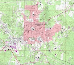
Alexander City Map
Topography city map of Alexander City, Alabama
272 miles away
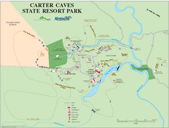
Carter Caves State Resort Park Map
Map of trails and facilities of Carter Caves State Resort Park.
273 miles away
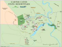
Carter Caves State Resort Park map
Detailed recreation map for Carter Caves State Park in Kentucky
273 miles away
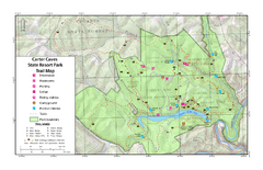
Carter Caves State Resort Park Topographic Trails...
Topographic map of the trails of Carter Caves State Resort Park.
273 miles away
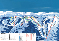
Wintergreen Ski Resort Ski Trail Map
Trail map from Wintergreen Ski Resort.
275 miles away
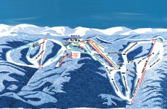
Wintergreen Ski Trail Map
Official ski trail map of Wintergreen ski area from the 2007-2008 season.
275 miles away
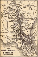
1913 Georgia Southern & Florida Railway Map
276 miles away
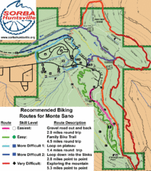
Monte Sano State Park Bike Routes Map
Recommended Biking Routes for Monte Santo with Easy to difficult routes marked.
276 miles away

