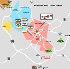
Martinsville Restaurant and Hotel Map
203 miles away
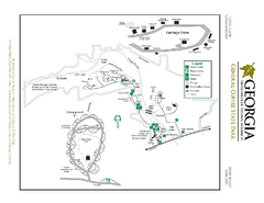
General Coffee State Park Map
Map of park with detail of trails and recreation zones
204 miles away
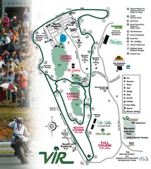
Virginia International Raceway Guide Map
VIR Guide Map
205 miles away
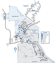
High Falls State Park Map
Map of park with detail of trails and recreation zones
205 miles away

Detailed Map of Hawkesdene House area
Detailed map of how to get to Hawkesdene House B&B Inn
206 miles away
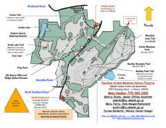
Davidson-Arabia Mountain Nature Preserve Map
Davidson-Arabia Mountain Nature Preserve is comprised of 570 acres of granite outcrop, wetlands...
206 miles away
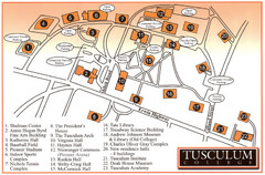
Tusculum College Campus Map
Campus map of Tusculum College in
206 miles away
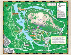
Stone Mountain State Park Map
207 miles away
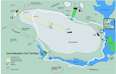
Stone Mountain Park Trail map
Trail map of Stone Mountain Park near Atlanta, GA
207 miles away
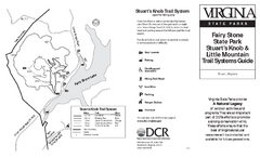
Fairy Stone State Park Map
Clearly marked state park map with trail system.
207 miles away
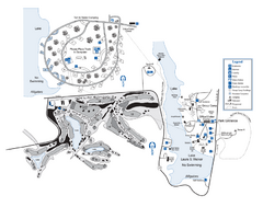
Laura S. Walker State Park Map
Map of park with detail of trails and recreation zones
209 miles away

Panola Mountain State Park Map
Map of park with detail of trails and recreation zones
209 miles away
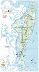
Cumberland Island Map
Map of Cumberland Island, including hiking trails and campgrounds
210 miles away
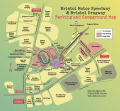
Bristol Motor Speedway Map
Guide to the campgrounds and parking at the Speedway
210 miles away
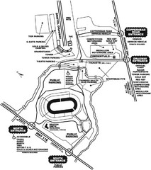
Bristol Dragway Map
Guide to campgrounds and parking at Bristol Dragway
211 miles away
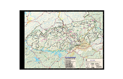
Great Smoky Mountains National Park - Trail map
Official trail map of Great Smoky Mountains National park. Shows all trails, park roads, visitor...
211 miles away
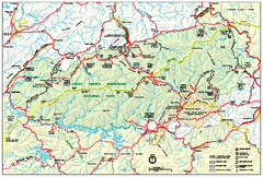
Great Smoky Mountains National Park - Park map
Official park map of Great Smoky Mountains National park. Shows location of all park roads...
211 miles away
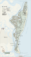
Cumberland Island National Seashore Map
Official NPS map of Cumberland Island National Seashore, Cumberland Island, Georgia. Rated #4...
212 miles away
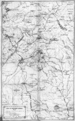
1864 Georgia Map
Used by General Sherman to guide his troops in the Civil War
213 miles away
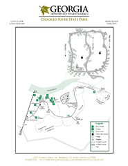
Crooked River State Park Map
Map of park with detail of trails and recreation zones
214 miles away
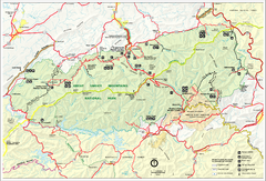
Great Smokey Mountains National Park Trail Map
Hiking trails.
214 miles away
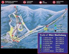
Ober Gatlinburg Ski Resort Ski Trail Map
Trail map from Ober Gatlinburg Ski Resort.
216 miles away
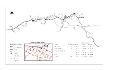
High Bridge Trail Map
Take a hike down this amazing Virginia trail.
217 miles away
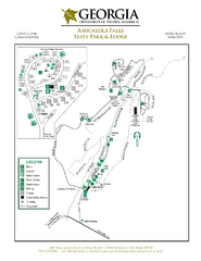
Amicalola Falls State Park Map
Map of park with detail of trails and recreation zones
218 miles away
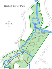
Herbert Taylor Park Map
218 miles away
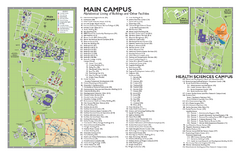
East Carolina University Map
East Carolina University Campus Map. All buildings shown.
219 miles away
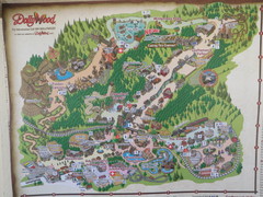
Dollywood Park Map
219 miles away
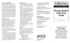
Hungry Mother State Park Map
Detailed map of this small state park.
219 miles away

New Bern Map
Downtown Map of New Bern.
219 miles away
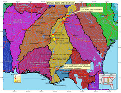
Drainage Basins of the Southeast United States Map
Lakes, rivers and dams in the Apalachicola, Chattahoochee and Flint River System.
219 miles away

Lower Neuse River Conservation Initiative Map
Map and poster showing conservation lands along the lower Neuse river in coastal North Carolina.
219 miles away
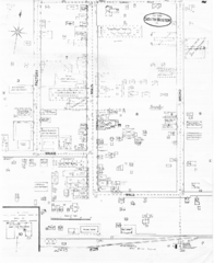
Pipestand Map
Historical map with reference to pipestand for the fire department
221 miles away
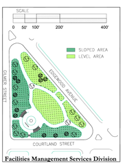
Hurt Park Map
221 miles away
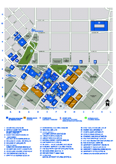
Georgia State University Map
Georgia State University Campus Map. All buildings shown.
221 miles away
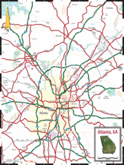
Atlanta, GA Tourist Map
221 miles away
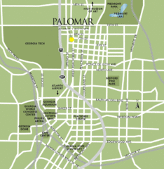
Atlanta Tourist Map
221 miles away
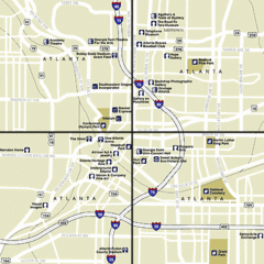
Atlanta, Georgia City Map
221 miles away
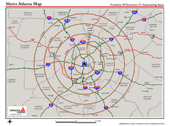
Atlanta Metro Proximity Ring Map
Shows proximity of downtown Atlanta, Georgia to surrounding areas
221 miles away
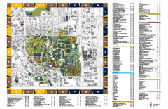
Georgia Institute of Technology Map
Georgia Institute of Technology Campus Map. All buildings shown.
221 miles away

Atlanta MARTA rail map
Official rail map of the Metropolitan Atlanta Rapid Transit Authority.
221 miles away

