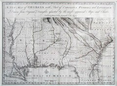
Georgia Map
Map of Georgia circa 1748. Includes Georgia and parts of the Carolinas, Florida and Louisiana.
179 miles away
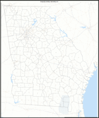
Georgia Zip Code Map
Check out this Zip code map and every other state and county zip code map zipcodeguy.com.
179 miles away
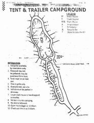
Hanging Rock, campground site map
Hanging Rock State park, map of family campground sites
179 miles away
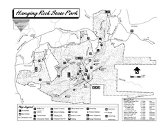
Hanging Rock State Park map
Detailed recreation map for Hanging Rock State Park in North Carolina
179 miles away
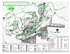
Hanging Rock state park Map
Interior color map of Hanging Rock State Park.
179 miles away
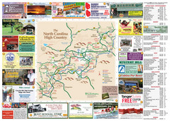
Avery County Attractions Map
Avery County Attractions Map
179 miles away
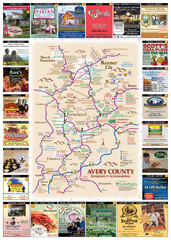
Avery County Restaurants Map
Avery County Tourist Map
179 miles away
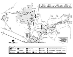
Eno River State Park map
Detailed recreation map for Eno River State Park in North Carolina
179 miles away
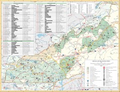
Pisgah National Forest and Nantahala National...
Pisgah National Forest and Nantahala National Forest recreation map. Contains list of all...
180 miles away
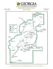
Black Rock Mountain State Park Map
Map of park with detail of trails and recreation zones
181 miles away
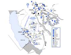
Little Ocmulgee State Park Map
Map of park with detail of trails and recreation zones
181 miles away

Waynesville and Lake Junaluska Panoramic Map
Panoramic Map taking in Waynesville, Lake Junaluska and the Richland Creek watershed in Haywood...
181 miles away
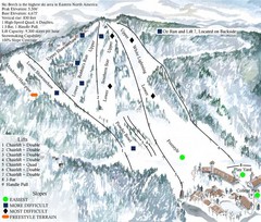
Beech Mountain Ski Resort Ski Trail Map
Trail map from Beech Mountain Ski Resort.
181 miles away
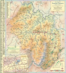
Yancey County Chamber of Commerce Map
Map of Yancey County, North Carolina. Shows all public roads, communities, hiking trails and picnic...
182 miles away
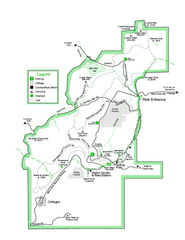
Black Rock State Park map
Detailed recreation map for Black Rock State Park in Georgia
182 miles away
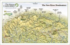
New River Headwaters Panorama Map
This panoramic map of the New River Headwaters area in North Carolina highlights TNC conservation...
182 miles away
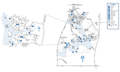
Fort Yargo State Park Map
Map of park with detail of trails and recreation zones
183 miles away
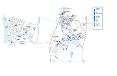
Fort Yargo State Park map
Detailed recreation and camping map for Fort Yargo State Park in Georgia
183 miles away
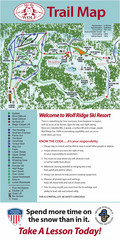
Wolf Laurel Ski Resort Ski Trail Map
Trail map from Wolf Laurel Ski Resort.
185 miles away
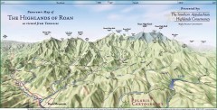
Panoramic Map of the Highlands of Roan (from TN)
Panoramic map of the Highlands of Roan as seen from Tennessee.
186 miles away

Roan Mountain Panorama Map
Panoramic Map of the View from the Baud Family Cabin of Roan Mountain, TN. The view overlooks...
186 miles away
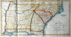
Southern Parts of the US Map
"This map was initially published in Morse's American Gazetteer in 1797 with Georgia...
187 miles away
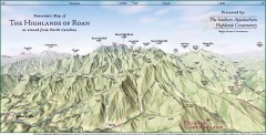
Panoramic Map of the Highlands of Roan (from NC)
Panoramic Map of the Roan Mountain Highlands as seen from North Carolina.
187 miles away
Blue Ridge Parkway Official Map
Official NPS map of the Blue Ridge Parkway. The Parkway meanders 469 miles through Virginia and...
187 miles away
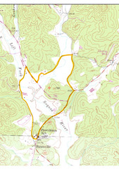
Soque River Ramble 6K Run & Walk Course...
Soque River Ramble 6K Race Course Elevation Map in Georgia.
187 miles away
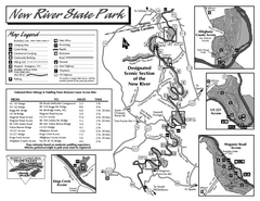
New River State Park map
Detailed recreation map for the New River State Park in North Carolina
188 miles away
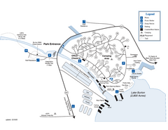
Moccasin Creek State Park Map
Map of park with detail of trails and recreation zones
188 miles away
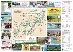
Ashe County Attractions Map
Ashe County Attractions
189 miles away
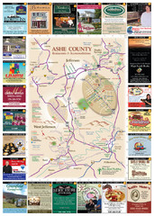
Ashe County Restaurant Map
Ashe County Restaurant Map
189 miles away
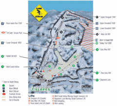
Cataloochee Ski Area Ski Trail Map
Trail map from Cataloochee Ski Area.
189 miles away
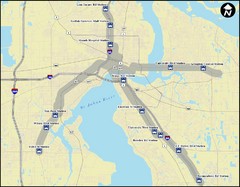
Jacksonville Bus Route Map
Bus routes in Jacksonville.
190 miles away
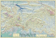
Boone, NC Outdoor Recreation Map
Guide to Boone, NC region
190 miles away
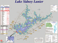
Lake Sidney Lanier Recreation Map
Recreation map of Lake Sidney Lanier in Georgia. Shows campgrounds, day use parks, marinas, and...
197 miles away
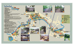
Tar Riverm Trail Map
197 miles away
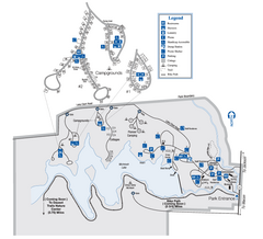
Indian Springs State Park Map
Map of park with detail of trails and recreation zones
199 miles away
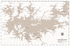
Pirate Map of Lake Sidney Lanier
Retro look pirate's map of Lake Sidney Lanier near Atlanta, Georgia
200 miles away
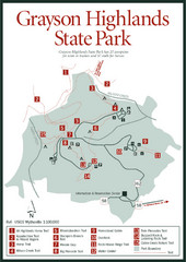
Grayson Highlands State Park Map
202 miles away
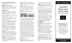
Grayson Highlands State Park Map
Clear and descriptive map of this beautiful state park.
202 miles away
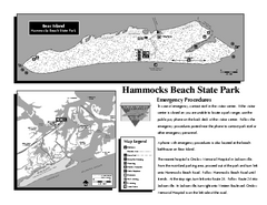
Hammocks Beach State Park Map
Detailed recreation map for Hammocks Beach State Park in North Carolina
202 miles away
New River Trail State Park Map
Clear and detailed state park map.
203 miles away

