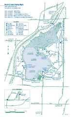
Buck Creek State Park map
Detailed recreation map for Buck Creek State Park in Ohio
461 miles away
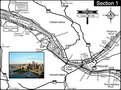
Ohio River at Pittsburgh, PA at the confluence of...
This is a page from the Ohio River Guidebook. The Ohio River begins at this confluence. This map...
461 miles away
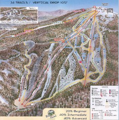
Blue Knob Four Seasons Ski Trail Map
Trail map from Blue Knob Four Seasons.
462 miles away
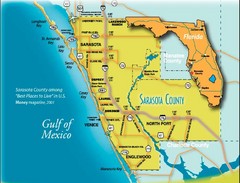
Sarasota Map
Sarasota county map and road system.
462 miles away
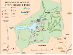
Pennyrile State Resort Park map
Recreation map for Pennyrile Forest State Park in Kentucky
462 miles away
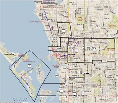
Sarasota, Florida City Map
463 miles away
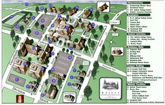
Wesley College Campus Map
Campus map of Wesley College in Dover, Delaware
463 miles away
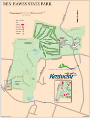
Ben Hawes State Park Map
Map of trails, facilities and golf course in Ben Hawes State Park.
463 miles away
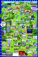
Kent County, Delaware Map
464 miles away

Dissolved Oxygen Concentrations and Trends Map
Delaware's Chesapeake Basin Dissolved Oxygen Concentrations and Trends showing increases and...
464 miles away
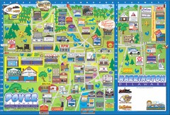
Dover Delaware Cartoon Map
464 miles away
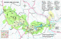
Raccoon Creek State Park Map
Detailed recreation map for Raccoon Creek State Park in Pennsylvania
464 miles away
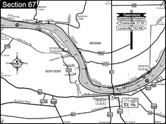
Ohio River at Owensboro, Kentucky Map
This is a page from the Ohio River Guidebook. The map shows important information for boaters and...
465 miles away
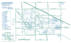
Sycamore State Park map
Detailed recreation map for Sycamore State Park in Ohio.
465 miles away
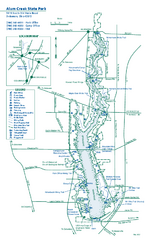
Alum Creek State Park map
Recreational map for Alum Creek State Park in Ohio
466 miles away
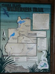
Myakka Island Trail Map
Trail map of Myakka Island. From photo.
466 miles away
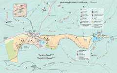
Pine Grove Furnace State Park map
Detailed recreation map for Pine Grove Furnace State Park in Pennsylvania
466 miles away
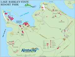
Lake Barkley State Resort Park Map
Map of the trails and facilities of Lake Barkley State Resort Park.
466 miles away
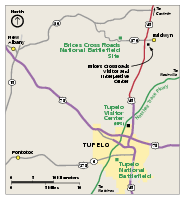
Brices Cross Roads National Battlefield Site...
Official NPS map of Brices Cross Roads National Battlefield Site in Mississippi. The grounds of the...
467 miles away
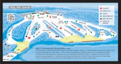
Paoli Peaks Ski Trail Map
Official ski trail map of Paoli Peaks ski area from the 2007-2008 season.
468 miles away
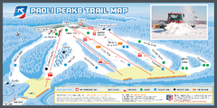
Paoli Peaks Ski Trail Map
Trail map from Paoli Peaks, which provides downhill, night, and terrain park skiing. It has 8 lifts...
468 miles away
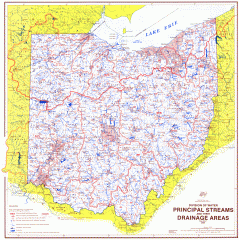
Ohio Watersheds Map
Principal Streams and their Drainage Areas. Based on map by C. E. Sherman, July 1925
468 miles away

Trough Creek State Park map
Detailed recreation map for Trough Creek State Park in Pennsylvania
470 miles away
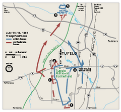
Tupelo National Battlefield Official Map
Official NPS map of Tupelo National Battlefield in Mississippi. Tupelo National Battlefield (NB...
470 miles away
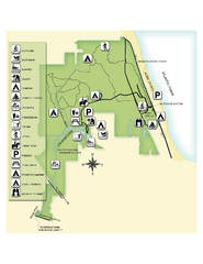
Jonathan Dickinson State Park Map
Map of park with detail of trails and recreation zones
471 miles away
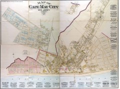
Antique map of Cape May from 1886
Antique map of Cape May, New Jersey from 1886.
473 miles away
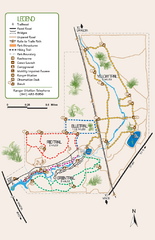
Oscar Scherer State Park Trail Map
Map of park with detail of hiking trails throughout
473 miles away
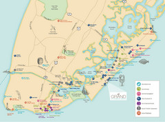
Diamond Beach Tourist Map
474 miles away
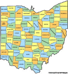
Ohio Counties Map
475 miles away
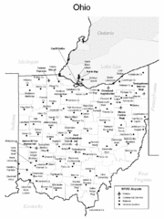
Ohio Airports Map
475 miles away

Yellow Creek State Park map
Recreation map for Yellow Creek State Park in Pennsylvania
475 miles away
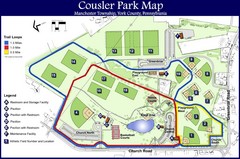
Cousler Park Map
476 miles away
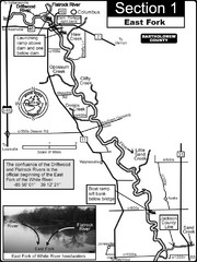
Columbus, IN White River East Fork Map
This is a page from the White River Guidebook. The map shows important information for boaters and...
476 miles away
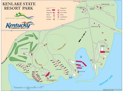
KenLake State Resort Park Map
Map of trails, facilities, and golf course for the KenLake State Resort Park located on the mid...
476 miles away
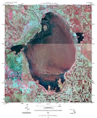
Elevation contour maps of Lake Okeechobee Map
Elevation contour maps of Lake Okeechobee
477 miles away
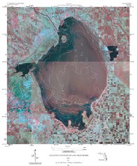
Elevation Contours of Lake Okeechobee Map
Elevation contour maps of Lake Okeechobee
477 miles away

Baseball Spring Training in Souther Florida Map
Guide 2009 Baseball Spring Training in Florida
477 miles away

Susquehannock State Park map
Detailed recreation map for Susquehannock State Park in Pennsylvania
477 miles away
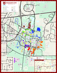
Mississippi State University Map
477 miles away

Mohican State Park map
Detailed recreation map for Mohican State Park in Ohio
478 miles away

