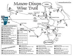
Mason-Dixon Wine Trail Map
Map of the Mason-Dixon Wine Trail, showing area wineries, historical sites, and lodging.
453 miles away
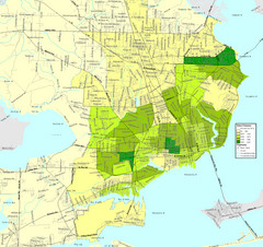
Pensacola, Florida City Map
454 miles away
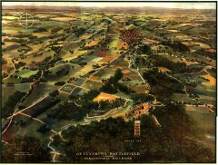
Gettysburg Battlefield in 1913 Map
Bird's eye view map of the Gettysburg Battlefield in 1913 by the Pennsylvania Railroad. From...
454 miles away
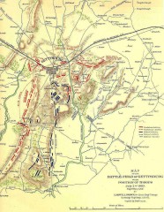
Gettysburg Battlefield map July 2, 1863
Map of the Union and Confederate positions in the Battle of Gettysburg July 2, 1863. "On July...
454 miles away

Pensacola Beach Tourist Map
454 miles away
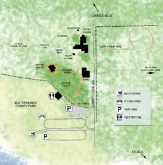
Marjorie Kinnan Rawlings Historic State Park Map
Map of park with detail of trails and recreation zones
454 miles away

Caledonia State Park map
Detailed map of Caledonia State Park area in Pennsylvania.
454 miles away
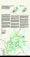
Shiloh National Military Park Official Park Map
Official NPS map of Shiloh National Military Park in Tennessee. The park is open every day except...
454 miles away
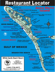
Anna Maria Island, Florida Restaurant Map
454 miles away
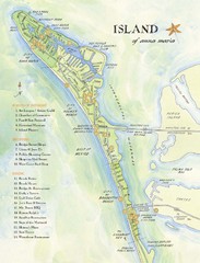
Ana Maria Island Tourist Map
455 miles away

Gettysburg Battlefield Map
455 miles away
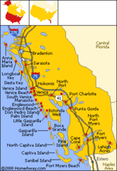
Bradenton Beach Map
Bradenton Beach and surrounding beach map.
455 miles away
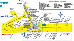
Quitewater Beach Boardwalk Map
455 miles away

Panhandle Rail-Trail Map
456 miles away
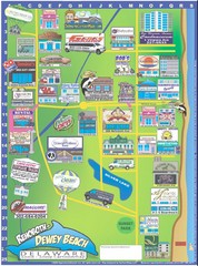
Rehoboth Beach Delaware Cartoon Map
456 miles away
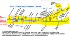
Pensacola Beach Tourist Map
456 miles away
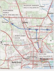
Pensacola, Florida Tourist Map
456 miles away
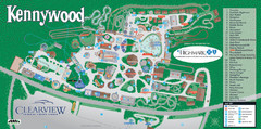
Kennywood Theme Park Map
"America's Finest Traditional Amusement Park" is the slogan for this fun, high rated...
457 miles away
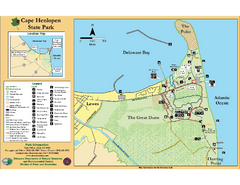
Cape Henlopen State Park Map
Beautiful park with delightful recreational activities.
458 miles away
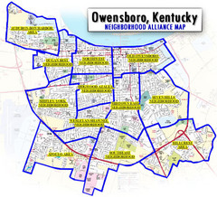
Owensboro, Kentucky City Map
458 miles away
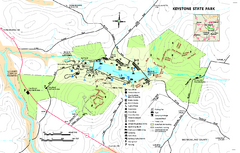
Keystone State Park Map
Detailed recreation map for Keystone State Park in Pennsylvania
458 miles away
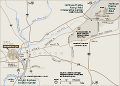
Dayton Aviation Heritage National Historical Park...
Official NPS map of Dayton Aviation Heritage National Historical Park in Ohio. Dayton Aviation...
459 miles away

Dayton, Ohio City Map
459 miles away
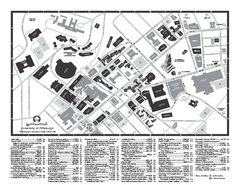
University of Pittsburgh - Main Campus Map
University of Pittsburgh - Main Campus Map. All buildings shown.
459 miles away

Warriors Path State Park Map
Detailed recreation map for Warriors Path State Park in Pennsylvania.
459 miles away
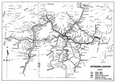
Pittsburgh, Pennsylvania City Map
459 miles away
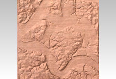
Pittsburgh, PA carved by carvedmaps.com Map
We can carve any location within the United States. Do you have a mountain cabin? We can carve...
460 miles away

Downtown Johnstown Map
Downtown Johnstown road and bus route map.
460 miles away
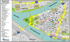
Pittsburgh Tourist Map
460 miles away
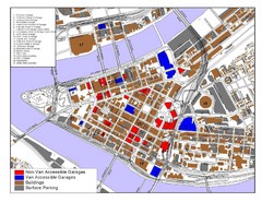
Pittsburgh Tourist Map
460 miles away
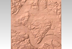
Pittsburgh map carved by CarvedMaps.com
Wood Map of the three rivers area of Pittsburgh, PA. CarvedMaps.com can carve any area within...
460 miles away
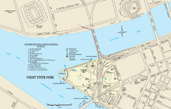
Point State Park Map
Recreation map for Point State Park in Pennsylvania
460 miles away

Blue Knob State Park Map
Detailed recreation map for Blue Knob State Park in Pennsylvania
460 miles away
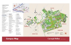
Carnegie Mellon Campus Map
Map of the Carnegie Mellon Campus. Includes all buildings, streets and the location of the campus...
460 miles away
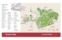
Carnegie Mellon Campus Map
Campus map of Carnegie Mellon University (CMU) in Pittsburgh, PA.
460 miles away
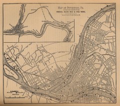
Antique map of Pittsburgh from 1879
"Map of Pittsburgh, Pa. Showing the Location of its Furnaces, Rolling Mills and Steel Works...
460 miles away
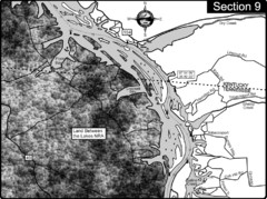
Lake Barkley-Cumberland River Map
Portion of Lake Barkley formed on the Cumberland River. In this section the state line is shown...
460 miles away
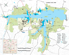
Codorus State State Park map
Detailed recreation map for Codorus State Park in Pennsylvania
460 miles away
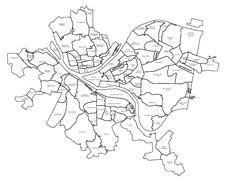
Pittsburgh neighborhoods Map
460 miles away
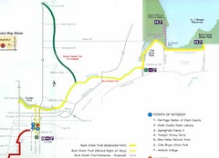
Buck Creek Trail Map
461 miles away

