
Tampa, Florida City Map
419 miles away
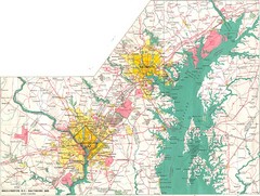
Washington D.C and Baltimore, MD City Map
419 miles away
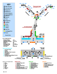
Louisville International Airport Terminal Map
Official Map of the Louisville International Airport. Shows all terminals and facilities.
419 miles away
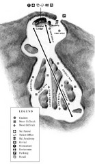
Mystic Mountain at Nemacolin Woodlands Resort Ski...
Trail map from Mystic Mountain at Nemacolin Woodlands Resort.
419 miles away
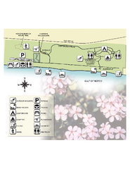
Henderson State Park Map
Map of park with detail of trails and recreation zones
419 miles away
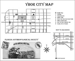
Ybor City Map
420 miles away
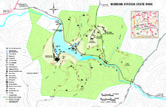
Ryerson Station State Park map
Detailed recreation map of Ryerson Station State Park in Pennsylvania
420 miles away
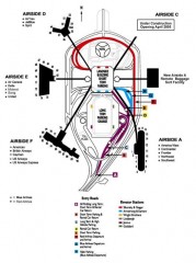
Tampa International Airport Map
Airport map for Tampa International Airport in Florida. Shows all areas.
420 miles away
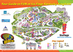
Six Flags Kentucky Kingdom Theme Park Map
Official Park Map of Six Flags Kentucky Kingdom in Kentucky.
420 miles away
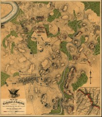
Antietam Battlefield Map
Map of the battlefield of Antietam/Sharpsburg. Shows Union and "Rebel" forces on...
421 miles away
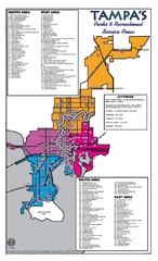
Tampa Parks Map
421 miles away
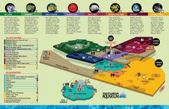
The Florida Aquarium Map
Aquarium guide map - large file
421 miles away
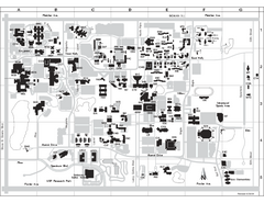
University of South Florida Map
Campus map of the University of South Florida. All buildings shown.
421 miles away
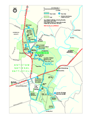
Antietam National Battlefield Official Map
Official NPS map of Antietam National Battlefield in Maryland. Open all year.
421 miles away
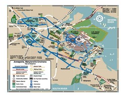
Annapolis Tourist map
422 miles away
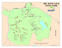
Big Bone Lick State Park Map
Map of trails and facilities for Big Bone Lick State Park.
422 miles away
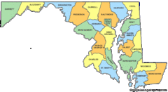
Maryland Counties Map
422 miles away
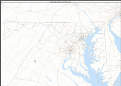
Maryland Zip Code Map
Check out this Zip code map and every other state and county zip code map zipcodeguy.com.
422 miles away
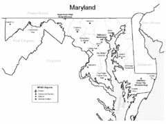
Marylands Airports Map
422 miles away

Coney Island Amusement Park Map
Amusement park map. 513-232-8230
422 miles away
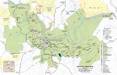
Ohiopyle State Park map
Detailed recreation map for Ohiopyle State Park in Pennsylvania.
423 miles away

United States Naval Academy Map
Campus map
423 miles away
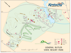
General Butler State Resort Park Map
Map of trails, facilities and golf course in General Butler State Resort Park.
423 miles away
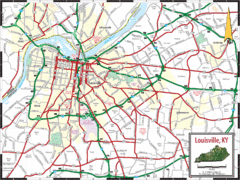
Louisville, Kentucky City Map
424 miles away
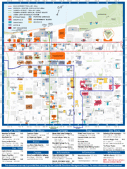
Downtown Louisville Map
Detailed map of gas stations, car rentals, and basic information of Louisville.
424 miles away
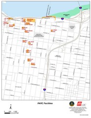
Louisville, Kentucky Tourist Map
424 miles away
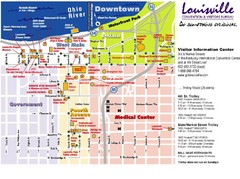
Louisville, Kentucky Tourist Map
424 miles away
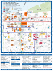
Louisville, Kentucky Tourist Map
424 miles away
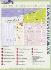
Downtown Louisville Restaurant Map
424 miles away
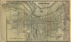
Antique map of Louisville from 1873
Map of Louisville, Kentucky from Appletons' Hand-Book of American Travel, Southern Tour...
424 miles away
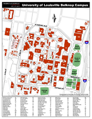
University of Louisville Map
University of Louisville Campus Map. All buildings shown.
424 miles away
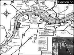
Ohio River at Louisville, KY & Southern...
This is from the Ohio River Guidebook
425 miles away
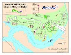
Rough River Dam State Resort Park Map
Map of trails, facilities and golf course in Rough River Dam State Resort Park.
425 miles away
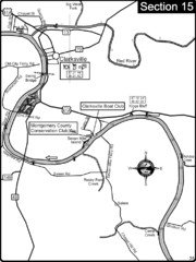
Clarksville, TN-Cumberland River Map
Cumberland River flows past Clarksville that has a great riverfront and services for traveling...
426 miles away
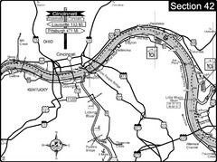
Ohio River at Cincinnati, Ohio and Newport, KY Map
This is a page from the Ohio River Guidebook. The map shows important information for boaters and...
427 miles away
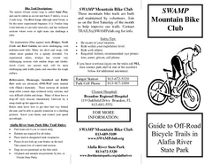
Alafia River State Park Bike Trail Map
Map of park with detail of various bike trails throughout
427 miles away

Cincinnati, Ohio City Map
427 miles away
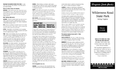
Wilderness Road State Park Map
Clearly marked state park map and legend.
428 miles away
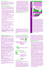
Charlestown State Park Map
428 miles away

Chesapeake & Ohio Canal National Historical...
Official NPS map of Chesapeake & Ohio Canal National Historical Park in Pennsylvania, West...
428 miles away

