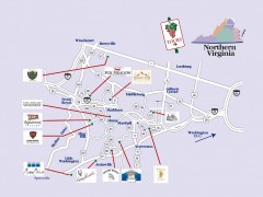
Blue Ridge vineyards map
Winery map of the Blue Ridge area of Virginia, showing wineries and vineyards.
392 miles away
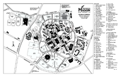
George Mason University Map
Campus map of George Mason University. All buildings shown.
393 miles away
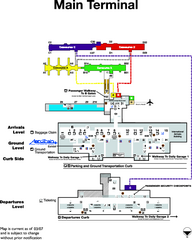
Dulles International Airport Terminal Map
Official Terminal Map of Dulles International Airport. Shows all areas.
395 miles away
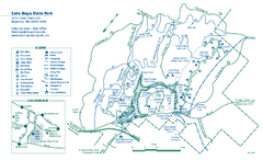
Lake Hope State Park map
Detailed recreation map for Lake Hope State Park in Ohio
395 miles away
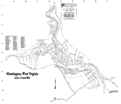
Mannington Street Map
Street map of Mannington, West Virginia. (aka Grantville)
396 miles away
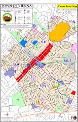
Vienna Town Map
397 miles away
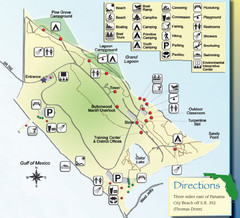
St. Andrews State Park Map
Overview map of St. Andrews State Park, #2 beach in America by TripAdvisor.com, 2008
397 miles away
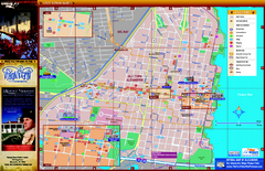
Alexandria City Tourist Map
Tourist street map of city
397 miles away
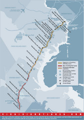
Proposed Expansion of I-95/395 HOV/Bus/Hot Lanes...
397 miles away
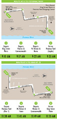
DC Metro Route Between King Street and Potomac...
398 miles away
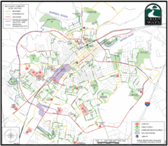
Bowling Green Biking Map
Map of biking trails in the city of Bowling Green area. Includes all streets, parks, some buildings...
398 miles away
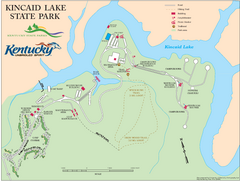
Kincaid Lake State Park Map
Map of trails, facilities and golf course in Kincaid Lake State Park.
398 miles away
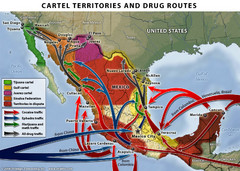
Mexican Drug Cartel Territories and Routes Map
398 miles away
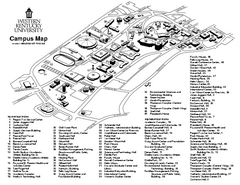
Western Kentucky University Map
Western Kentucky University Campus Map. All buildings shown
399 miles away
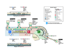
Ronald Reagan Washington National Airport Map
Official Terminal Map of Ronald Reagan Washington National Airport. Shows all areas.
399 miles away
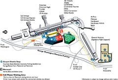
Reagan National Airport DCA Map
400 miles away
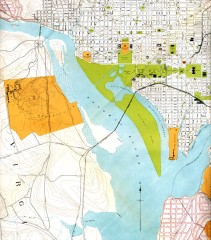
Antique map of Washington D.C. from 1901
Portion of "Map of the District of Columbia" No. D-287, Commission on the Improvement of...
401 miles away
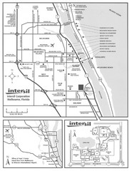
Palm Bay, Florida City Map
402 miles away
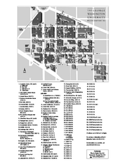
The George Washington University Map
Campus Map of The George Washington University in Washington, D.C. All areas shown.
402 miles away
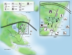
Camp Helen State Park Map
Map of park with detail of various recreation zones
402 miles away
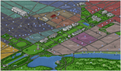
Washington DC Tourist Map
Tourist map of Washington, DC. Bird's-eye view of landmark buildings.
402 miles away
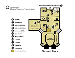
Floor Map of the Smithsonian National Museum of...
Official Floor Map of the Smithsonian National Museum of Natural History in Washington, D.C. Shows...
402 miles away
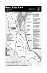
Great Falls Park Map
402 miles away
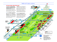
National Mall in Washington, D.C. Map
Official map of the National Mall, including the National Museum of Natural History and other...
402 miles away
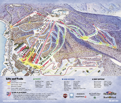
Wisp at Deep Creek Mountain Resort Ski Trail Map
Trail map from Wisp at Deep Creek Mountain Resort.
402 miles away
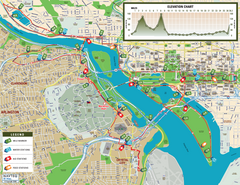
Washington D.C. Marine Corps Marathon Course Map...
Official 2008 course map of the Washington D.C. Marine Corps Marathon
402 miles away
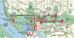
Walking tour of the Washington DC mall Map
Tourist map and walking tour of the National Mall in Washington D.C.
402 miles away
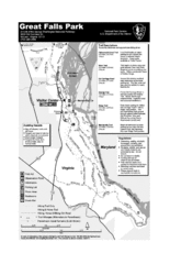
Great Falls Park Map
402 miles away
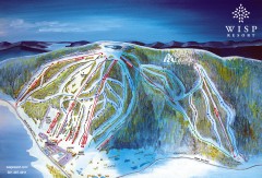
Wisp Ski Trail Map
Official ski trail map of Wisp Resort ski area in McHenry, MD
403 miles away
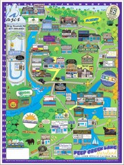
Deep Creek Lake, Maryland Map
403 miles away
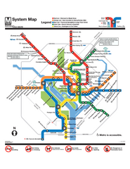
Official Washington DC Metro map
Official color PDF map from the Washington Metropolitan Area Transit Authority. The WMATA operates...
404 miles away
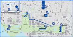
Washington D.C. Tourist Map
Attractions and the city of Washington D.C.
404 miles away
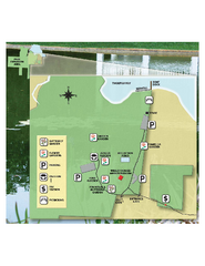
Eden Gardens State Park Map
Map of park with detail of gardens
404 miles away
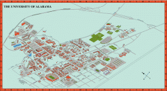
University of Alabama Map
University of Alabama Campus Map. All areas shown.
404 miles away

Tar Hollow State Park map
Detailed recreation map for tar Hollow State Park in Ohio
404 miles away
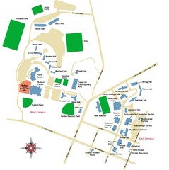
West Virginia University Campus Map
404 miles away
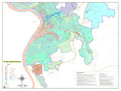
West Virginia Zoning STATE ROADS Map
Map of the zoning boundaries and state roads in West Virginia.
404 miles away
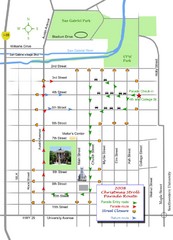
Georgetown Christmas Stroll Paradise Route Map
Walking path through Downtown Georgetown.
404 miles away
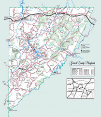
Garrett County, Maryland Guide Map
404 miles away

