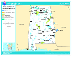
Alabama Federal Lands and Indian Reservations Map
383 miles away
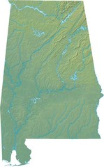
Alabama Relief Map
383 miles away
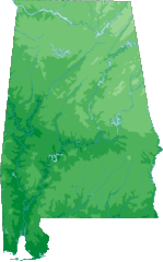
Alabama Topography Map
383 miles away
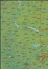
Alabama Area Map
383 miles away
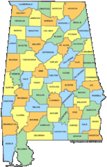
Alabama Counties Map
383 miles away
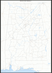
Alabama Zip Code Map
Check out this Zip code map and every other state and county zip code map zipcodeguy.com.
383 miles away
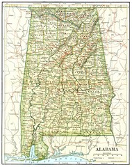
1891 Alabama Map
High quality 1891 Alabama map marking many cities and towns.
383 miles away
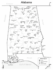
Alabama Aiports Map
383 miles away
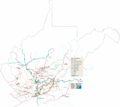
Southern West Virginia Tourist Map
Cities in the southern part of West Virginia.
383 miles away
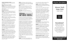
Mason Neck State Park Map
Descriptive map detailing trails, rest stops, and more.
383 miles away
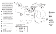
Mason Neck State Park Map
Trail map of Mason Neck State Park near Lornton, Virginia. Shows approx. 3 miles of hiking trails...
384 miles away
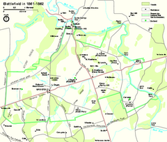
Manassas National Battlefield Park Official Map
Official NPS map of Manassas National Battlefield Park in Virginia.
385 miles away
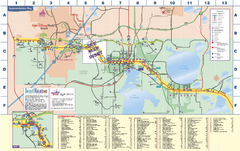
Travel Accommodations in Kissimmee, Florida Map
Map of accommodations in and around Kissimmee, Florida. Shows visitors centers, Disney World, and...
385 miles away

Nashville Zoo Map
385 miles away
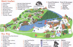
Weeki Wachee Springs State Park Map
Map of park
385 miles away
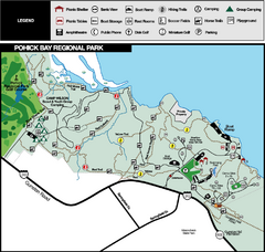
Pohick Bay Regional Park Map
Park map of Pohick Bay Regional Park near Lorton, VA on the Potomac River. Shows trails and...
385 miles away
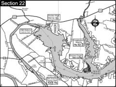
Old Hickory Lake-Cumberland River Map
Section 22 from the Cumberland River Guidebook shows the dam that forms Old Hickory Lake near...
386 miles away
Sky Meadows State Park Map
Clearly marked state park map.
386 miles away
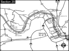
Nashville, TN-Cumberland River Map
The Cumberland River is an important waterway to the city of Nashville. Nashville is also a great...
389 miles away

Nashville City Map
389 miles away
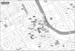
Downtown Nashville, TN Tourist Map
389 miles away
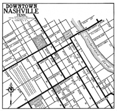
Downtown Nashville, TN Tourist Map
389 miles away
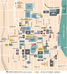
Nashville, TN Tourist Map
389 miles away
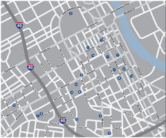
Nashville, TN Tourist Map
389 miles away
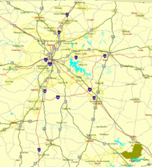
Nashville, TN Tourist Map
389 miles away
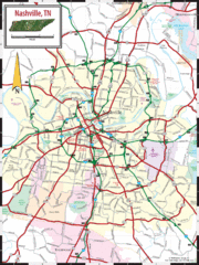
Nashville Road Map
Shows roads and major streets in Nashville, TN area
389 miles away
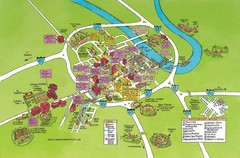
Nashville, TN Tourist Map
389 miles away
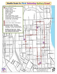
Nashville First Saturday Gallery Crawl Shuttle...
389 miles away
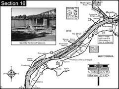
Ohio River at Marietta, OH and 8 miles downriver...
This is a page from the Ohio River Guidebook. The map shows important information for boaters and...
390 miles away
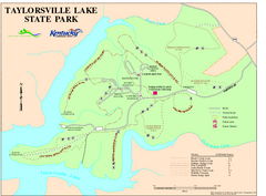
Taylorsville Lake State Park Map
Map of trails and facilities in Taylorsville Lake State Park.
391 miles away
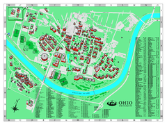
Ohio University Map
Ohio University Campus Map. All buildings shown.
391 miles away
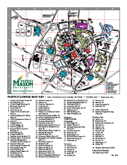
George Mason University Map
391 miles away

Midtown Nashville and West End Map
391 miles away
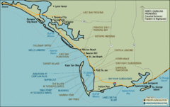
Mexico Beach, Florida Tourist Map
392 miles away
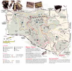
Percy Warner Park Map
392 miles away
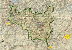
Mammoth Cave National Park Map
Visitor Center Area Map and Park Map. Topographical map that shows parameters of the park as well...
392 miles away
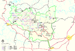
Mammoth Cave National Park Official Park Map
Official NPS map of Mammoth Cave National Park in Kentucky. Most of the park's resources and...
392 miles away
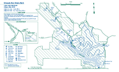
Strouds Run State Park map
Detailed recreation map for Strouds Run State Park in Ohio.
392 miles away

