
Guntersville Lake Map
324 miles away
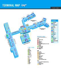
Norfolk International Airport Terminal Map
Terminal Map of Norfolk International Airport in Virginia. Shows all areas.
325 miles away
Caledon Natural Area State Park Map
Clear and descriptive map of this amazing state park.
325 miles away
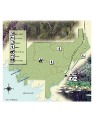
Econfina River State Park Map
Map of park with detail of trails and recreation zones
325 miles away
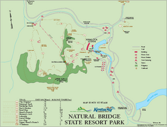
Natural Bridge State Resort Park map
Recreation map for Natural Bridge State Park in Kentucky
326 miles away
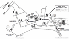
Nasa Center Langley Map
326 miles away
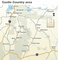
Castle Country national Park Map
Map marking major highways and cities near this beautiful national park.
327 miles away
False Cape State Park Map
Clear state park map
327 miles away
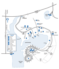
Seminole State Park Map
Map of park with detail of trails and recreation zones
328 miles away
York River State Park Map
Fish and hike along this beautiful state park's river front.
329 miles away
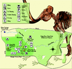
Silver River State Park Map
Map of park with detail of trails and recreation zones
330 miles away
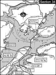
Guntersville, AL Tennessee River/Lake...
For boating navigational information and river road travel along the Tennessee River. This section...
331 miles away
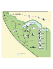
Edward Ball Wakulla Springs State Park Map
Map of park with detail of trails and recreation zones
331 miles away
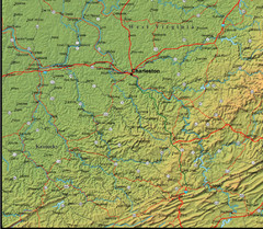
Detailed West Virginia Area Map
331 miles away
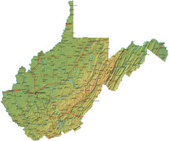
West Virginia Road Map
331 miles away
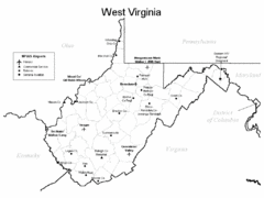
West Virginia Airports Map
331 miles away
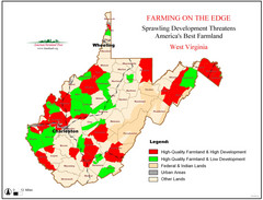
West Virginia Farmland Development Map
Map shows quality of farmland along with developments.
331 miles away
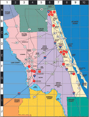
Western Florida County Map
Counties in Western Florida
332 miles away
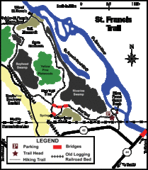
St. Francis Trail Map
The trail is located in Volusia county, about a mile from Deland. It is about an hour from Ocala.
332 miles away
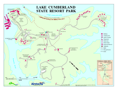
Lake Cumberland State Resort Park Map
Map of trails and facilities for Lake Cumberland State Resort Park.
332 miles away
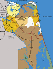
Virginia Beach Tourist Map
333 miles away
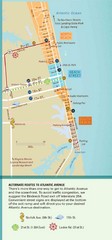
Virginia Beach Tourist Map
333 miles away
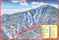
Massanutten Ski Trail Map
Official ski trail map of Massanutten ski area from the 2007-2008 season.
333 miles away
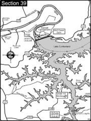
Lake Cumberland-Cumberland River Map
Lake Cumberland is formed by a dam on the Cumberland River in Section 39 of the Cumberland River...
333 miles away
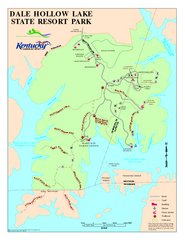
Dale Hollow Lake State Park Map
Map of trails and facilities of Dale Hollow Lake State Park.
333 miles away
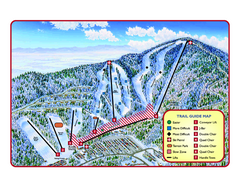
Massanutten Resort Ski Trail Map
Trail map from Massanutten Resort.
333 miles away
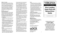
First Landing State Park Map
Clearly marked state park map with facilities and trails easily found.
333 miles away
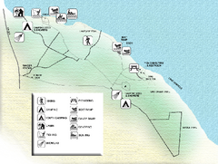
Three Rivers State Park Map
Map of park with detail of recreation zones
333 miles away
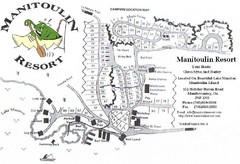
Manitoulin Resort Map
333 miles away
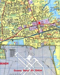
Virginia Beach, Virginia City Map
333 miles away
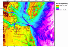
Digital Elevation Relief of Virginia Beach Map
The digital elevation model represents the bare-earth relief of the coastal zone around Virginia...
333 miles away
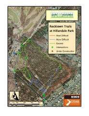
Rocktown Trail Map
Aerial trail map of Rocktown trails at Hillandale Park in Harrisonburg, VA
333 miles away
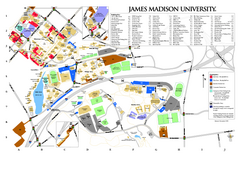
James Madison University Map
333 miles away
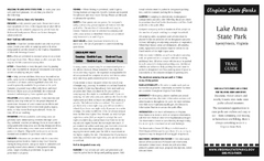
Lake Anna State Park Map
Detailed state park map.
334 miles away
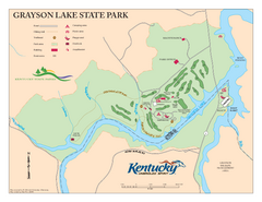
Grayson Lake State Park Map
Map of trails, facilities and golf course in Grayson Lake State Park.
334 miles away
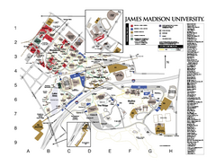
James Madison University Map
James Madison University Campus Map. All buildings shown.
334 miles away
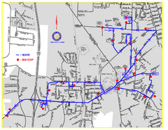
Berea Bus Route Map
335 miles away

Sandy Point State Forest Hunting Map
Virginia Department of Forestry Hunting Areas
336 miles away
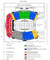
Marshall University Stadium Map
Clear map and legend of Marshall University's stadium.
336 miles away
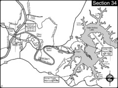
Celina, TN Dale Hollow Lake-Cumberland River Map
Celina Tennessee is the location for the head of navigation for the Cumberland River at the fork of...
338 miles away

